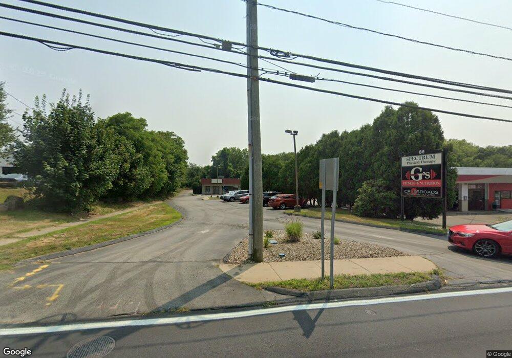
86 Boston Post Rd Waterford, CT 06385
Estimated Value: $1,347,005
3
Beds
1
Bath
10,625
Sq Ft
$127/Sq Ft
Est. Value
About This Home
This home is located at 86 Boston Post Rd, Waterford, CT 06385 and is currently estimated at $1,347,005, approximately $126 per square foot. 86 Boston Post Rd is a home located in New London County with nearby schools including Clark Lane Middle School, Waterford High School, and St. Joseph School.
Ownership History
Date
Name
Owned For
Owner Type
Purchase Details
Closed on
Aug 29, 2018
Sold by
86 Boston Post Road Ll
Bought by
Bgl Llc
Current Estimated Value
Home Financials for this Owner
Home Financials are based on the most recent Mortgage that was taken out on this home.
Original Mortgage
$657,000
Outstanding Balance
$571,763
Interest Rate
4.5%
Mortgage Type
Purchase Money Mortgage
Estimated Equity
$775,242
Purchase Details
Closed on
Jul 22, 2011
Sold by
Siconolfi Realty Llc
Bought by
86 Boston Post Rd Llc
Create a Home Valuation Report for This Property
The Home Valuation Report is an in-depth analysis detailing your home's value as well as a comparison with similar homes in the area
Home Values in the Area
Average Home Value in this Area
Purchase History
| Date | Buyer | Sale Price | Title Company |
|---|---|---|---|
| Bgl Llc | $817,000 | -- | |
| 86 Boston Post Rd Llc | $550,000 | -- |
Source: Public Records
Mortgage History
| Date | Status | Borrower | Loan Amount |
|---|---|---|---|
| Open | Bgl Llc | $657,000 | |
| Previous Owner | Bgl Llc | $625,000 | |
| Previous Owner | Bgl Llc | $275,000 |
Source: Public Records
Tax History Compared to Growth
Tax History
| Year | Tax Paid | Tax Assessment Tax Assessment Total Assessment is a certain percentage of the fair market value that is determined by local assessors to be the total taxable value of land and additions on the property. | Land | Improvement |
|---|---|---|---|---|
| 2025 | $13,864 | $593,500 | $122,900 | $470,600 |
| 2024 | $13,235 | $593,500 | $122,900 | $470,600 |
| 2023 | $12,582 | $593,500 | $122,900 | $470,600 |
| 2022 | $12,748 | $462,560 | $102,420 | $360,140 |
| 2021 | $12,785 | $462,560 | $102,420 | $360,140 |
| 2020 | $12,892 | $462,560 | $102,420 | $360,140 |
| 2019 | $12,942 | $462,560 | $102,420 | $360,140 |
| 2018 | $12,683 | $462,560 | $102,420 | $360,140 |
| 2017 | $17,420 | $644,470 | $182,070 | $462,400 |
| 2016 | $17,259 | $644,470 | $182,070 | $462,400 |
| 2015 | $16,647 | $644,470 | $182,070 | $462,400 |
| 2014 | $15,983 | $644,470 | $182,070 | $462,400 |
Source: Public Records
Map
Nearby Homes
- 12 Pine St
- 24 Pine St
- 35 Pine St
- 2 Faye St
- 68 Clark Ln
- 152 Blydenburg Ave
- 54 Rope Ferry Rd Unit C55
- 54 Rope Ferry Rd Unit D72
- 54 Rope Ferry Rd Unit C45
- 77 Colman St
- 34 Ivy Hill Rd
- 7 Ivy Hill Rd
- 16 Bellevue Place
- 835 Bank St
- 213 Boston Post Rd
- 142 Montauk Ave
- 26 Jefferson Ave
- 26 Ivy Hill Rd
- 32 Moore Ave
- 35 Menghi St
- 92 Boston Post Rd
- 0091 Boston Post Rd
- 396 Willetts Ave
- 396A Willetts Ave
- 398 Willetts Ave
- 89 Boston Post Rd
- 87 Boston Post Rd
- 91 Boston Post Rd
- 83 Boston Post Rd
- 93 Boston Post Rd
- 6 Woodland Grove
- 82 Boston Post Rd
- 82 Boston Post Rd Unit D
- 390 Willetts Ave
- 9 Woodland Grove
- 95 Boston Post Rd
- 14 Woodland Grove
- 14 Woodland Dr
- 75 Boston Post Rd
- 106 Boston Post Rd