86 Burnham Rd Parsonsfield, ME 04047
Estimated Value: $302,000 - $349,433
--
Bed
--
Bath
964
Sq Ft
$338/Sq Ft
Est. Value
About This Home
This home is located at 86 Burnham Rd, Parsonsfield, ME 04047 and is currently estimated at $325,608, approximately $337 per square foot. 86 Burnham Rd is a home.
Ownership History
Date
Name
Owned For
Owner Type
Purchase Details
Closed on
Sep 29, 2016
Sold by
Pooler Leanne F
Bought by
Garland Jaime
Current Estimated Value
Create a Home Valuation Report for This Property
The Home Valuation Report is an in-depth analysis detailing your home's value as well as a comparison with similar homes in the area
Home Values in the Area
Average Home Value in this Area
Purchase History
| Date | Buyer | Sale Price | Title Company |
|---|---|---|---|
| Garland Jaime | -- | -- |
Source: Public Records
Tax History Compared to Growth
Tax History
| Year | Tax Paid | Tax Assessment Tax Assessment Total Assessment is a certain percentage of the fair market value that is determined by local assessors to be the total taxable value of land and additions on the property. | Land | Improvement |
|---|---|---|---|---|
| 2024 | $2,589 | $154,086 | $55,000 | $99,086 |
| 2023 | $2,496 | $154,086 | $55,000 | $99,086 |
| 2022 | $2,388 | $154,086 | $55,000 | $99,086 |
| 2021 | $2,381 | $154,086 | $55,000 | $99,086 |
| 2020 | $2,334 | $154,086 | $55,000 | $99,086 |
| 2019 | $2,296 | $154,086 | $55,000 | $99,086 |
| 2017 | $2,296 | $154,086 | $55,000 | $99,086 |
| 2016 | $2,296 | $154,086 | $55,000 | $99,086 |
| 2015 | $2,311 | $154,086 | $55,000 | $99,086 |
| 2013 | $2,250 | $154,085 | $55,000 | $99,085 |
Source: Public Records
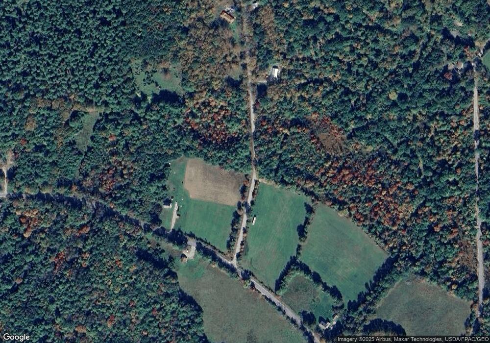
Map
Nearby Homes
- 511 South Rd
- 154 Staples Rd
- 424 Maplecrest Rd
- 570 Maplewood Rd
- 178 Maplecrest Rd
- 27 Nocturne Rd
- 0 Stone Hill Rd
- Lot 1 Moulton Hill Rd
- 48 Elm St
- 243 Sokokis Trail N
- R13/038 Weeks Rd
- 515 Range East Rd
- 80 Kelley Ln
- 360 Bridge St
- 11 Symmes Dr
- 36 Elm St
- 11 Penny Ln
- Lot #00 North Rd
- Lot# 01 North Rd
- Lot #02 North Rd