86 Clements Rd Georgetown, GA 39854
Estimated Value: $175,000 - $317,048
2
Beds
1
Bath
1,404
Sq Ft
$187/Sq Ft
Est. Value
About This Home
This home is located at 86 Clements Rd, Georgetown, GA 39854 and is currently estimated at $262,262, approximately $186 per square foot. 86 Clements Rd is a home located in Quitman County with nearby schools including Quitman County Elementary School and Quitman County High School.
Ownership History
Date
Name
Owned For
Owner Type
Purchase Details
Closed on
Sep 2, 2014
Sold by
Hoover Mervin
Bought by
Hoover Marian S
Current Estimated Value
Purchase Details
Closed on
Jan 16, 2014
Sold by
Farm Cr Of Florida
Bought by
Hoover Mervin
Purchase Details
Closed on
Jul 2, 2013
Sold by
Engelhart Kevin
Bought by
Farm Cr Of Florida
Purchase Details
Closed on
Oct 6, 2006
Sold by
Clements Calvin J
Bought by
Engelhart Kevin and Engelhart Jodie L
Purchase Details
Closed on
Jul 8, 1997
Sold by
Clements Calvin J
Bought by
Clements Calvin J
Purchase Details
Closed on
Jan 16, 1974
Bought by
Clements Calvin J
Create a Home Valuation Report for This Property
The Home Valuation Report is an in-depth analysis detailing your home's value as well as a comparison with similar homes in the area
Home Values in the Area
Average Home Value in this Area
Purchase History
| Date | Buyer | Sale Price | Title Company |
|---|---|---|---|
| Hoover Marian S | -- | -- | |
| Hoover Mervin | $126,500 | -- | |
| Farm Cr Of Florida | -- | -- | |
| Engelhart Kevin | $250,000 | -- | |
| Clements Calvin J | -- | -- | |
| Clements Calvin J | -- | -- |
Source: Public Records
Tax History Compared to Growth
Tax History
| Year | Tax Paid | Tax Assessment Tax Assessment Total Assessment is a certain percentage of the fair market value that is determined by local assessors to be the total taxable value of land and additions on the property. | Land | Improvement |
|---|---|---|---|---|
| 2025 | $1,560 | $79,551 | $57,335 | $22,216 |
| 2024 | $1,560 | $79,551 | $57,335 | $22,216 |
| 2023 | $1,557 | $79,551 | $57,335 | $22,216 |
| 2022 | $1,539 | $79,551 | $57,335 | $22,216 |
| 2021 | $1,147 | $58,393 | $44,573 | $13,820 |
| 2020 | $1,478 | $44,167 | $44,167 | $0 |
| 2019 | $621 | $44,167 | $44,167 | $0 |
| 2018 | $1,414 | $44,167 | $44,167 | $0 |
| 2017 | $520 | $44,167 | $44,167 | $0 |
| 2016 | $504 | $44,167 | $44,167 | $0 |
| 2015 | -- | $44,167 | $44,167 | $0 |
| 2014 | -- | $44,167 | $44,167 | $0 |
| 2013 | -- | $44,166 | $44,166 | $0 |
Source: Public Records
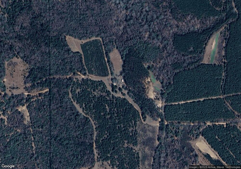
Map
Nearby Homes
- 253 Kaigler Rd
- 330 Georgia 27
- 0 Lower Lumpkin Rd
- 0 Lower Lumpkin Rd Unit 10511110
- 0 Old 39 Rd Unit 15.69
- 15.69 Old 39 Rd
- 1794 Georgia 50
- 2036 Georgia 39
- 15 Bay Ln
- 76 Jacqueline Dr
- 0 Jacqueline Dr
- 0 Lots 2 3 4 Point Dr Unit 20065
- 0 Tanglewood Trail Unit 27290
- 2+/- Ac Fawn Dr
- 00 Georgia 39
- 0 Sandra Dr Unit 10544581
- 0 Sandra Dr Unit 27509
- 1194 U S Hwy 82-Parcel B
- 288 Watson Rd
- 0 Watson Spur Rd Unit 24072