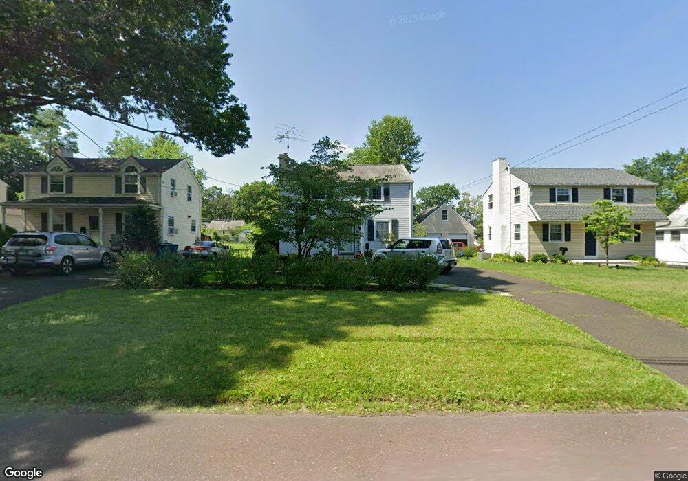
86 E Swamp Rd Doylestown, PA 18901
Estimated Value: $522,522 - $628,000
3
Beds
1
Bath
1,674
Sq Ft
$348/Sq Ft
Est. Value
About This Home
This home is located at 86 E Swamp Rd, Doylestown, PA 18901 and is currently estimated at $581,881, approximately $347 per square foot. 86 E Swamp Rd is a home located in Bucks County with nearby schools including Linden El School, Lenape Middle School, and Central Bucks High School-West.
Ownership History
Date
Name
Owned For
Owner Type
Purchase Details
Closed on
Jun 17, 2004
Sold by
Adams Blanche I
Bought by
White Gail A and Adams Susan M
Current Estimated Value
Home Financials for this Owner
Home Financials are based on the most recent Mortgage that was taken out on this home.
Original Mortgage
$100,000
Outstanding Balance
$48,523
Interest Rate
5.89%
Mortgage Type
Purchase Money Mortgage
Estimated Equity
$533,358
Purchase Details
Closed on
Nov 14, 1958
Bought by
Adams John N and Adams Blanche T
Create a Home Valuation Report for This Property
The Home Valuation Report is an in-depth analysis detailing your home's value as well as a comparison with similar homes in the area
Home Values in the Area
Average Home Value in this Area
Purchase History
| Date | Buyer | Sale Price | Title Company |
|---|---|---|---|
| White Gail A | $120,000 | -- | |
| Adams John N | -- | -- |
Source: Public Records
Mortgage History
| Date | Status | Borrower | Loan Amount |
|---|---|---|---|
| Open | White Gail A | $100,000 |
Source: Public Records
Tax History
| Year | Tax Paid | Tax Assessment Tax Assessment Total Assessment is a certain percentage of the fair market value that is determined by local assessors to be the total taxable value of land and additions on the property. | Land | Improvement |
|---|---|---|---|---|
| 2025 | $3,812 | $21,160 | $4,920 | $16,240 |
| 2024 | $3,812 | $21,160 | $4,920 | $16,240 |
| 2023 | $3,632 | $21,160 | $4,920 | $16,240 |
| 2022 | $3,581 | $21,160 | $4,920 | $16,240 |
| 2021 | $3,542 | $21,160 | $4,920 | $16,240 |
| 2020 | $3,503 | $21,160 | $4,920 | $16,240 |
| 2019 | $3,464 | $21,160 | $4,920 | $16,240 |
| 2018 | $3,422 | $21,160 | $4,920 | $16,240 |
| 2017 | $3,386 | $21,160 | $4,920 | $16,240 |
| 2016 | $3,386 | $21,160 | $4,920 | $16,240 |
| 2015 | -- | $21,160 | $4,920 | $16,240 |
| 2014 | -- | $21,160 | $4,920 | $16,240 |
Source: Public Records
Map
Nearby Homes
- 117 Cottonwood Ct
- 607 S Chubb Dr
- 45 Creek Dr
- 150 Selner Ln
- 102 Clear Springs Ct
- 146 E Court St
- 169 N Main St
- 807 N Broad St
- 209 Harvey Ave
- 3660 Buttonwood Dr
- 69 E Oakland Ave
- 61 N Hamilton St
- 110 E Ashland St
- 215 N Franklin St
- 190 Decatur St
- 236 Green St
- 34 Houk Rd
- 3622 Alley E
- 3910 Cephas Child Rd Unit 6
- 3688 Christopher Day Rd
Your Personal Tour Guide
Ask me questions while you tour the home.