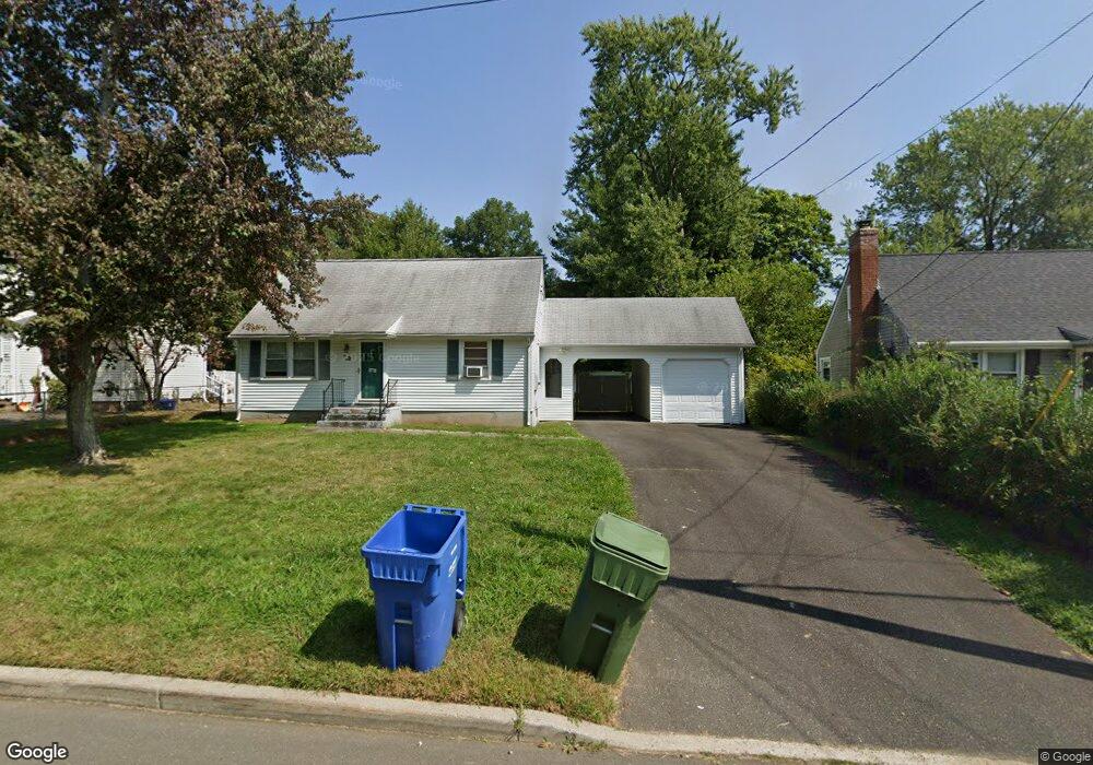
86 Fisher Rd Middletown, CT 06457
Westfield NeighborhoodEstimated Value: $297,000 - $335,234
3
Beds
2
Baths
1,163
Sq Ft
$271/Sq Ft
Est. Value
About This Home
This home is located at 86 Fisher Rd, Middletown, CT 06457 and is currently estimated at $315,559, approximately $271 per square foot. 86 Fisher Rd is a home located in Middlesex County with nearby schools including St John Paul II School.
Ownership History
Date
Name
Owned For
Owner Type
Purchase Details
Closed on
Oct 5, 2009
Sold by
Cook Josiane R and Cook Steven T
Bought by
Randall Michelle L
Current Estimated Value
Home Financials for this Owner
Home Financials are based on the most recent Mortgage that was taken out on this home.
Original Mortgage
$185,085
Outstanding Balance
$120,121
Interest Rate
5.12%
Estimated Equity
$195,438
Purchase Details
Closed on
Aug 30, 2002
Sold by
Hulo
Bought by
Cook Josiane R and Cook Steven J
Purchase Details
Closed on
Jan 25, 1995
Sold by
Weymouth John F and Weymouth Anneliese W
Bought by
Copeland Richard D and Thomas Cheryl D
Create a Home Valuation Report for This Property
The Home Valuation Report is an in-depth analysis detailing your home's value as well as a comparison with similar homes in the area
Home Values in the Area
Average Home Value in this Area
Purchase History
| Date | Buyer | Sale Price | Title Company |
|---|---|---|---|
| Randall Michelle L | $188,500 | -- | |
| Cook Josiane R | $123,000 | -- | |
| Copeland Richard D | $112,000 | -- |
Source: Public Records
Mortgage History
| Date | Status | Borrower | Loan Amount |
|---|---|---|---|
| Open | Copeland Richard D | $185,085 | |
| Previous Owner | Copeland Richard D | $148,000 |
Source: Public Records
Tax History Compared to Growth
Tax History
| Year | Tax Paid | Tax Assessment Tax Assessment Total Assessment is a certain percentage of the fair market value that is determined by local assessors to be the total taxable value of land and additions on the property. | Land | Improvement |
|---|---|---|---|---|
| 2025 | $6,323 | $162,550 | $57,650 | $104,900 |
| 2024 | $5,982 | $162,550 | $57,650 | $104,900 |
| 2023 | $5,210 | $148,430 | $57,650 | $90,780 |
| 2022 | $4,721 | $107,300 | $38,430 | $68,870 |
| 2021 | $4,721 | $107,300 | $38,430 | $68,870 |
| 2020 | $4,743 | $107,300 | $38,430 | $68,870 |
| 2019 | $4,764 | $107,300 | $38,430 | $68,870 |
| 2018 | $4,689 | $107,300 | $38,430 | $68,870 |
| 2017 | $4,561 | $107,560 | $40,830 | $66,730 |
| 2016 | $4,431 | $107,560 | $40,830 | $66,730 |
| 2015 | $4,259 | $107,560 | $40,830 | $66,730 |
| 2014 | $4,302 | $107,560 | $40,830 | $66,730 |
Source: Public Records
Map
Nearby Homes
- 136 Westfield St
- 180 Bailey Rd
- 3 Nathan Hale Rd
- 18 Phedon Pkwy
- 4 Nathan Hale Rd
- 1 Nathan Hale Rd
- 2 Nathan Hale Rd
- 11 Columbus Ave
- 20 Prospect St
- 404 Newfield St
- 36 Brookview Ln
- 60 Old Mill Rd
- 175 Lincoln St
- 146 Liberty St
- 31 Broadview Pkwy
- 565 High St
- 27 Barbara Rd
- 581 High St
- 27 Valley Dr
- 25 Clinton Ave