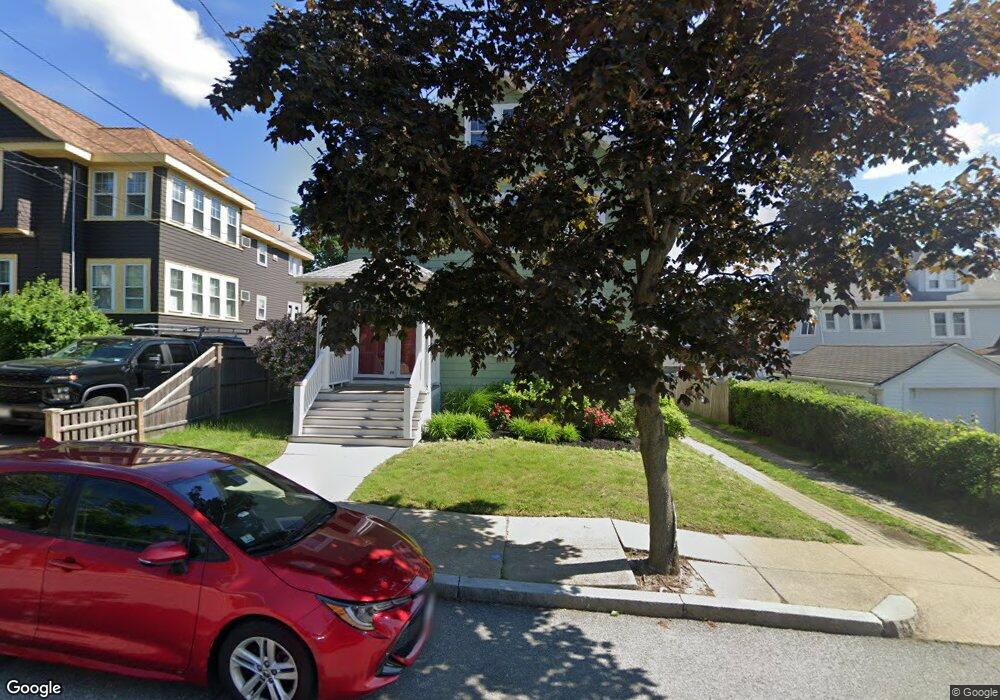
86 Ingleside Ave Unit 1 Winthrop, MA 02152
Downtown Winthrop NeighborhoodEstimated Value: $815,000 - $1,065,000
2
Beds
1
Bath
1,300
Sq Ft
$722/Sq Ft
Est. Value
About This Home
This home is located at 86 Ingleside Ave Unit 1, Winthrop, MA 02152 and is currently estimated at $938,231, approximately $721 per square foot. 86 Ingleside Ave Unit 1 is a home located in Suffolk County with nearby schools including William P. Gorman/Fort Banks Elementary School, Arthur T. Cummings Elementary School, and Winthrop Middle School.
Ownership History
Date
Name
Owned For
Owner Type
Purchase Details
Closed on
Aug 3, 2016
Sold by
Rosa Ft
Bought by
Mesedahl Elise L and Castellano Jhosmar W
Current Estimated Value
Home Financials for this Owner
Home Financials are based on the most recent Mortgage that was taken out on this home.
Original Mortgage
$516,250
Outstanding Balance
$412,968
Interest Rate
3.56%
Mortgage Type
New Conventional
Estimated Equity
$525,263
Create a Home Valuation Report for This Property
The Home Valuation Report is an in-depth analysis detailing your home's value as well as a comparison with similar homes in the area
Home Values in the Area
Average Home Value in this Area
Purchase History
| Date | Buyer | Sale Price | Title Company |
|---|---|---|---|
| Mesedahl Elise L | $610,000 | -- |
Source: Public Records
Mortgage History
| Date | Status | Borrower | Loan Amount |
|---|---|---|---|
| Open | Mesedahl Elise L | $516,250 |
Source: Public Records
Tax History
| Year | Tax Paid | Tax Assessment Tax Assessment Total Assessment is a certain percentage of the fair market value that is determined by local assessors to be the total taxable value of land and additions on the property. | Land | Improvement |
|---|---|---|---|---|
| 2025 | $8,938 | $866,100 | $452,500 | $413,600 |
| 2024 | $8,242 | $791,000 | $434,900 | $356,100 |
| 2023 | $8,623 | $805,900 | $398,100 | $407,800 |
| 2022 | $8,480 | $721,100 | $355,000 | $366,100 |
| 2021 | $8,280 | $653,000 | $317,000 | $336,000 |
| 2020 | $8,094 | $641,400 | $317,000 | $324,400 |
| 2019 | $7,942 | $602,600 | $292,100 | $310,500 |
| 2018 | $7,686 | $542,800 | $250,800 | $292,000 |
| 2017 | $6,738 | $467,600 | $239,200 | $228,400 |
| 2016 | $6,371 | $414,500 | $208,000 | $206,500 |
| 2015 | $5,686 | $396,500 | $202,000 | $194,500 |
| 2014 | $5,046 | $323,900 | $155,400 | $168,500 |
Source: Public Records
Map
Nearby Homes
- 35 Somerset Ave Unit 6
- 45 Read St
- 10 Somerset Ave Unit 403
- 10 Somerset Ave Unit 404
- 10 Somerset Ave Unit 401
- 10 Somerset Ave Unit 304
- 10 Somerset Ave Unit 408
- 10 Somerset Ave Unit 201
- 10 Somerset Ave Unit 204
- 10 Somerset Ave Unit 211
- 10 Somerset Ave Unit 206
- 550 Pleasant St Unit 506
- 270 Winthrop St Unit 2
- 9 Atlantic St Unit 2
- 72 Fremont St
- 14 Pleasant Park Rd
- 56 Main St
- 66 Lowell Rd
- 142 Pleasant St Unit 12
- 47 Bellevue Ave
- 86 Ingleside Ave
- 80 Ingleside Ave
- 78 Ingleside Ave
- 83 Ingleside Ave
- 77 Ingleside Ave
- 108 Brookfield Rd
- 112 Brookfield Rd Unit 114
- 94 Brookfield Rd
- 73 Ingleside Ave
- 116 Brookfield Rd
- 118 Brookfield Rd Unit 118 Brookfield
- 118 Brookfield Rd Unit 2
- 74 Ingleside Ave Unit 76
- 69 Ingleside Ave
- 88 Brookfield Rd
- 122 Brookfield Rd
- 62 Ingleside Ave
- 35 Enfield Rd
- 35 Enfield Rd Unit 1
- 35 Enfield Rd Unit 2
Your Personal Tour Guide
Ask me questions while you tour the home.