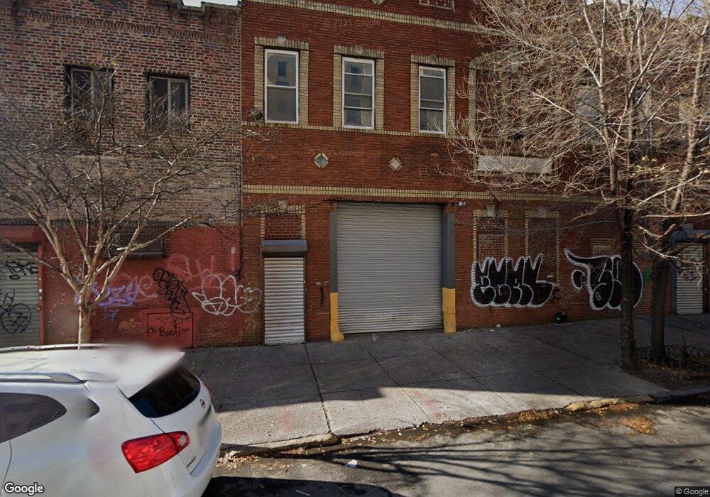
86 Junius St Brooklyn, NY 11212
Brownsville NeighborhoodEstimated Value: $667,235
Studio
--
Bath
7,750
Sq Ft
$86/Sq Ft
Est. Value
About This Home
This home is located at 86 Junius St, Brooklyn, NY 11212 and is currently estimated at $667,235, approximately $86 per square foot. 86 Junius St is a home located in Kings County with nearby schools including J.H.S 292 Margaret S. Douglas, Brownsville Collegiate Charter School, and Brooklyn Ascend Charter School.
Ownership History
Date
Name
Owned For
Owner Type
Purchase Details
Closed on
Mar 21, 2014
Sold by
Nellie Evans Administr Of The Sole Sha
Bought by
84 Junius Inc
Current Estimated Value
Home Financials for this Owner
Home Financials are based on the most recent Mortgage that was taken out on this home.
Original Mortgage
$200,000
Outstanding Balance
$151,131
Interest Rate
4.26%
Mortgage Type
Commercial
Estimated Equity
$516,104
Purchase Details
Closed on
Nov 13, 2003
Sold by
1921 Holding Corp
Bought by
Tame Properties Inc
Create a Home Valuation Report for This Property
The Home Valuation Report is an in-depth analysis detailing your home's value as well as a comparison with similar homes in the area
Home Values in the Area
Average Home Value in this Area
Purchase History
| Date | Buyer | Sale Price | Title Company |
|---|---|---|---|
| 84 Junius Inc | -- | -- | |
| Tame Properties Inc | $300,000 | -- |
Source: Public Records
Mortgage History
| Date | Status | Borrower | Loan Amount |
|---|---|---|---|
| Open | 84 Junius Inc | $200,000 |
Source: Public Records
Tax History
| Year | Tax Paid | Tax Assessment Tax Assessment Total Assessment is a certain percentage of the fair market value that is determined by local assessors to be the total taxable value of land and additions on the property. | Land | Improvement |
|---|---|---|---|---|
| 2025 | $31,029 | $382,950 | $123,750 | $259,200 |
| 2024 | $31,029 | $351,900 | $123,750 | $228,150 |
| 2023 | $23,119 | $321,750 | $123,750 | $198,000 |
| 2022 | $28,400 | $276,300 | $123,750 | $152,550 |
| 2021 | $22,858 | $213,750 | $123,750 | $90,000 |
| 2020 | $27,382 | $271,800 | $67,500 | $204,300 |
| 2019 | $24,603 | $271,800 | $67,500 | $204,300 |
| 2018 | $23,014 | $257,400 | $67,500 | $189,900 |
| 2017 | $21,146 | $229,950 | $67,500 | $162,450 |
| 2016 | $20,191 | $220,050 | $67,500 | $152,550 |
| 2015 | $11,786 | $190,800 | $67,500 | $123,300 |
| 2014 | $11,786 | $178,200 | $67,500 | $110,700 |
Source: Public Records
Map
Nearby Homes
- 45 Hinsdale St
- 2358 Pacific St
- 2370 Atlantic Ave
- 1782 Pitkin Ave
- 2347 Pacific St
- 105 Belmont Ave
- 90 Sackman St
- 1777 Eastern Pkwy
- 2349 Dean St
- 2337 Dean St
- 2294 Atlantic Ave
- 27 Monaco Place
- 2284 Atlantic Ave
- 472 Sutter Ave
- 2226 Pacific St
- 225 Rockaway Ave
- 2271A Pacific St
- 1350 Herkimer St
- 10 Monaco Place
- 51 Chester St