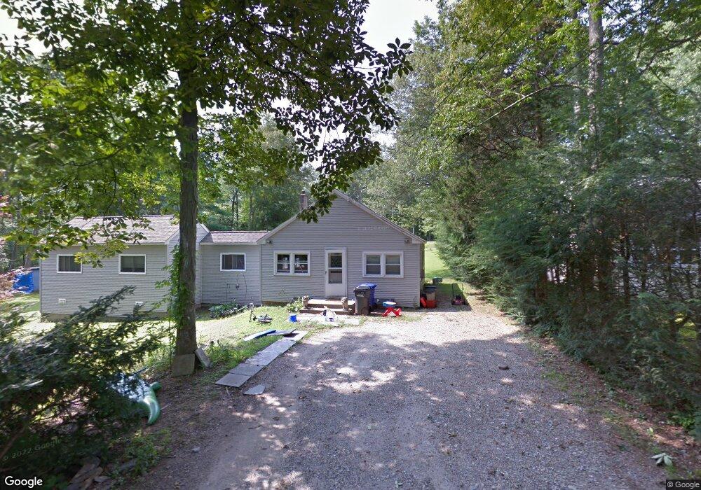
86 Mink Trail Coventry, CT 06238
Estimated Value: $299,000 - $316,000
3
Beds
1
Bath
1,104
Sq Ft
$278/Sq Ft
Est. Value
About This Home
This home is located at 86 Mink Trail, Coventry, CT 06238 and is currently estimated at $306,584, approximately $277 per square foot. 86 Mink Trail is a home located in Tolland County with nearby schools including George Hersey Robertson School, Coventry Grammar School, and Capt. Nathan Hale School.
Ownership History
Date
Name
Owned For
Owner Type
Purchase Details
Closed on
Jul 12, 2010
Sold by
Provost Dawn D
Bought by
Provost Thomas M
Current Estimated Value
Home Financials for this Owner
Home Financials are based on the most recent Mortgage that was taken out on this home.
Original Mortgage
$113,000
Interest Rate
4.15%
Purchase Details
Closed on
Nov 21, 1997
Sold by
Berry Glenna and Krukoff Beverly
Bought by
Provost Thomas and Provost Dawn
Create a Home Valuation Report for This Property
The Home Valuation Report is an in-depth analysis detailing your home's value as well as a comparison with similar homes in the area
Home Values in the Area
Average Home Value in this Area
Purchase History
| Date | Buyer | Sale Price | Title Company |
|---|---|---|---|
| Provost Thomas M | -- | -- | |
| Provost Thomas | $65,000 | -- | |
| Provost Thomas M | -- | -- | |
| Provost Thomas | $65,000 | -- |
Source: Public Records
Mortgage History
| Date | Status | Borrower | Loan Amount |
|---|---|---|---|
| Open | Provost Thomas | $109,600 | |
| Closed | Provost Thomas | $34,000 | |
| Closed | Provost Thomas | $113,000 |
Source: Public Records
Tax History
| Year | Tax Paid | Tax Assessment Tax Assessment Total Assessment is a certain percentage of the fair market value that is determined by local assessors to be the total taxable value of land and additions on the property. | Land | Improvement |
|---|---|---|---|---|
| 2025 | $4,365 | $183,700 | $56,300 | $127,400 |
| 2024 | $3,504 | $105,200 | $46,600 | $58,600 |
| 2023 | $3,339 | $105,200 | $46,600 | $58,600 |
| 2022 | $3,277 | $105,200 | $46,600 | $58,600 |
| 2021 | $3,277 | $105,200 | $46,600 | $58,600 |
| 2020 | $3,279 | $105,200 | $46,600 | $58,600 |
| 2019 | $3,387 | $105,200 | $46,600 | $58,600 |
| 2018 | $3,423 | $106,300 | $46,600 | $59,700 |
| 2017 | $3,402 | $106,300 | $46,600 | $59,700 |
| 2016 | $3,317 | $106,300 | $46,600 | $59,700 |
| 2015 | $3,317 | $106,300 | $46,600 | $59,700 |
| 2014 | $3,368 | $118,300 | $56,400 | $61,900 |
Source: Public Records
Map
Nearby Homes
- 27 Fox Trail
- 0 Hinkel Mae Dr
- 17 Ireland Dr
- 152 Cheney Ln
- 0 Daly Rd Unit 24146464
- 2478 Main St
- 198 Forest Rd
- 0 Woodland Rd
- 0 Skinner Hill Rd Unit 24077239
- 0 Wheeling Rd Unit 24116879
- 864 Boston Turnpike
- 498 Root Rd
- 550 High St
- 55 Whites Hill Rd
- 25 Wolf Hill Rd
- 499 Woodmont Dr
- 37 Wolf Hill Lot (#40) Rd
- 37 Wolf Hill Rd Unit Lot 40
- 8 Times Farm Rd
- 127 U S 6
- 78 Mink Trail
- 89 Mink Trail
- 83 Beaver Trail
- 77 Mink Trail
- 138 Fox Trail
- 59 Beaver Trail
- 68 Mink Trail
- 74 Beaver Trail
- 90 Beaver Trail
- 71 Mink Trail
- 66 Beaver Trail
- 92 Beaver Trail
- 46 Wangumbaug Dr
- 135 Fox Trail
- 66 Wangumbaug Dr
- 50 Wangumbaug Dr
- 147 Fox Trail
- LOT@ Beebe Farms Rd
- 0 Wangumbaug Dr
- 92 Wangumbaug Dr
Your Personal Tour Guide
Ask me questions while you tour the home.