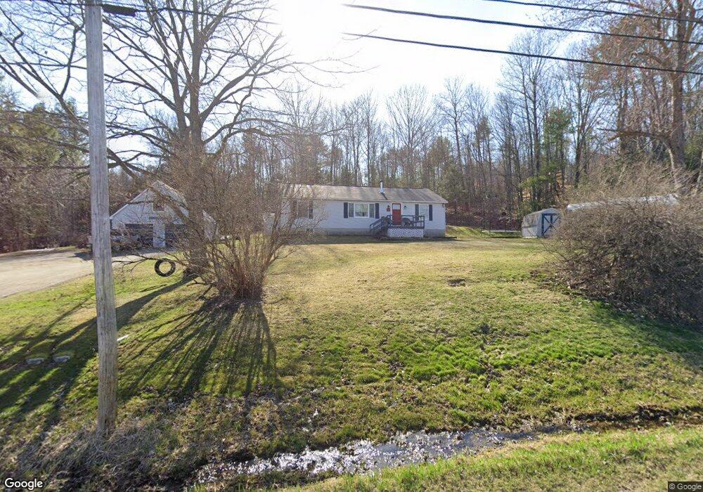
86 Molunkus Rd Skowhegan, ME 04976
Estimated Value: $263,000 - $307,000
3
Beds
1
Bath
1,400
Sq Ft
$205/Sq Ft
Est. Value
About This Home
This home is located at 86 Molunkus Rd, Skowhegan, ME 04976 and is currently estimated at $286,817, approximately $204 per square foot. 86 Molunkus Rd is a home located in Somerset County with nearby schools including Creative Children's Academy, Overman Academy, and Faith Baptist Christian School.
Ownership History
Date
Name
Owned For
Owner Type
Purchase Details
Closed on
Oct 18, 2016
Sold by
Leblanc Denise
Bought by
Belliveau Justin and Belliveau Amy
Current Estimated Value
Purchase Details
Closed on
Mar 20, 2015
Sold by
Foss Jeffrey J and Foss Elizabeth A
Bought by
Belliveau Justin A and Belliveau Amy B
Purchase Details
Closed on
Feb 23, 2015
Sold by
Belliveau Justin A
Bought by
Belliveau Justin A and Belliveau Amy B
Create a Home Valuation Report for This Property
The Home Valuation Report is an in-depth analysis detailing your home's value as well as a comparison with similar homes in the area
Home Values in the Area
Average Home Value in this Area
Purchase History
| Date | Buyer | Sale Price | Title Company |
|---|---|---|---|
| Belliveau Justin | -- | -- | |
| Belliveau Justin A | -- | -- | |
| Belliveau Justin A | -- | -- |
Source: Public Records
Tax History Compared to Growth
Tax History
| Year | Tax Paid | Tax Assessment Tax Assessment Total Assessment is a certain percentage of the fair market value that is determined by local assessors to be the total taxable value of land and additions on the property. | Land | Improvement |
|---|---|---|---|---|
| 2024 | $3,477 | $192,400 | $33,300 | $159,100 |
| 2023 | $3,409 | $192,400 | $33,300 | $159,100 |
| 2022 | $2,790 | $159,600 | $23,400 | $136,200 |
| 2021 | $2,641 | $143,900 | $23,400 | $120,500 |
| 2020 | $1,573 | $133,900 | $23,400 | $110,500 |
| 2019 | $2,308 | $133,900 | $23,400 | $110,500 |
| 2018 | $1,454 | $133,900 | $23,400 | $110,500 |
| 2017 | $2,220 | $133,900 | $23,400 | $110,500 |
| 2016 | $1,997 | $104,900 | $19,300 | $85,600 |
| 2015 | $1,920 | $104,900 | $19,300 | $85,600 |
| 2014 | $1,799 | $104,900 | $19,300 | $85,600 |
| 2013 | $1,720 | $104,900 | $19,300 | $85,600 |
Source: Public Records
Map
Nearby Homes
- 28 Messina Dr
- M1 L27 North Ave
- 538 Malbons Mills Rd
- 701 Malbons Mills Rd
- 257 North Ave
- 28 Dr Mann Rd
- 34 Wing Ln
- 27 Adams St
- M4 L7-5 Lakewood Rd
- 111 Malbons Mills Rd
- 108 Lakewood Rd
- 36 Saint Mark St
- 24 Ryan Ln
- M33 L94-1 (Lot 17) Reed St
- M33 L94-1 (Lot 17 & 18) Reed St
- 55 Beech St
- 50 Widgeon Rd
- 7 & 9 Crane Ln
- 19 Prospect St
- 50 Hanover St
- 265 Steward Hill Rd
- 273 Steward Hill Rd
- 239 Steward Hill Rd
- 44 Molunkus Rd
- 246 Steward Hill Rd
- 256 Steward Hill Rd
- 122 Molunkus Rd
- Lot 10 Deer Hill Estates
- Lot 9 Deer Hill Estates
- 225 Steward Hill Rd
- 215 Steward Hill Rd
- 0 Hilton Hill Rd Unit 270648
- 0 Hilton Hill Rd Unit 235414
- 0 Hilton Hill Rd Unit 900883
- 551 North Ave
- 607 North Ave
- 21 Hilton Hill Rd
- 28 Hilton Hill Rd
- 0 Molunkus Rd Unit 478251
- 0 Molunkus Rd Unit 558555