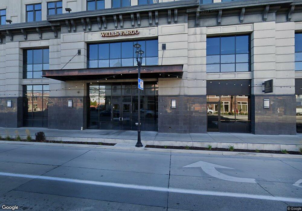
86 N University Ave Unit 501 Provo, UT 84601
Downtown Provo NeighborhoodEstimated Value: $452,000 - $568,000
3
Beds
2
Baths
1,499
Sq Ft
$334/Sq Ft
Est. Value
About This Home
This home is located at 86 N University Ave Unit 501, Provo, UT 84601 and is currently estimated at $500,527, approximately $333 per square foot. 86 N University Ave Unit 501 is a home located in Utah County with nearby schools including Provo Peaks School, Centennial Middle School, and Timpview High School.
Ownership History
Date
Name
Owned For
Owner Type
Purchase Details
Closed on
Apr 7, 2021
Sold by
The Mack Family Trust
Bought by
Moss Brad and Moss Dana
Current Estimated Value
Purchase Details
Closed on
Jun 25, 2010
Sold by
Foster Dennis R and Foster Kathryn L
Bought by
Mack Elizabeth and Mack Family Trust
Purchase Details
Closed on
Apr 24, 2008
Sold by
Foster Dennis R and Foster Kathryn L
Bought by
Foster Dennis R and Foster Kathryn L
Purchase Details
Closed on
Dec 13, 2005
Sold by
Provo University Plaza Llc
Bought by
Foster Dennis R and Foster Kathryn L
Create a Home Valuation Report for This Property
The Home Valuation Report is an in-depth analysis detailing your home's value as well as a comparison with similar homes in the area
Home Values in the Area
Average Home Value in this Area
Purchase History
| Date | Buyer | Sale Price | Title Company |
|---|---|---|---|
| Moss Brad | -- | Highland Title | |
| Mack Elizabeth | -- | Access Title Company | |
| Foster Dennis R | -- | Title West Title Company | |
| Foster Dennis R | -- | Equity Title |
Source: Public Records
Tax History Compared to Growth
Tax History
| Year | Tax Paid | Tax Assessment Tax Assessment Total Assessment is a certain percentage of the fair market value that is determined by local assessors to be the total taxable value of land and additions on the property. | Land | Improvement |
|---|---|---|---|---|
| 2025 | $2,482 | $232,815 | $47,000 | $376,300 |
| 2024 | $2,491 | $244,310 | $0 | $0 |
| 2023 | $2,491 | $241,725 | $0 | $0 |
| 2022 | $2,237 | $218,845 | $0 | $0 |
| 2021 | $1,880 | $320,900 | $38,500 | $282,400 |
| 2020 | $1,855 | $296,700 | $35,600 | $261,100 |
| 2019 | $1,614 | $268,500 | $33,000 | $235,500 |
| 2018 | $1,591 | $268,500 | $33,000 | $235,500 |
| 2017 | $1,422 | $131,835 | $0 | $0 |
| 2016 | $1,412 | $122,045 | $0 | $0 |
| 2015 | $1,344 | $117,370 | $0 | $0 |
| 2014 | $1,289 | $117,370 | $0 | $0 |
Source: Public Records
Map
Nearby Homes
- 86 N University Ave Unit 609
- 86 N University Ave Unit 608
- 86 N University Ave Unit 607
- 86 N University Ave Unit 606
- 86 N University Ave Unit 605
- 86 N University Ave Unit 504
- 86 N University Ave Unit 603
- 86 N University Ave
- 86 N University Ave
- 86 N University Ave Unit 510
- 86 N University Ave Unit 509
- 86 N University Ave
- 86 N University Ave
- 86 N University Ave Unit 506
- 86 N University Ave
- 86 N University Ave
- 86 N University Ave Unit 503
- 86 N University Ave Unit 502
- 86 N University Ave
- 86 N University Ave Unit 702