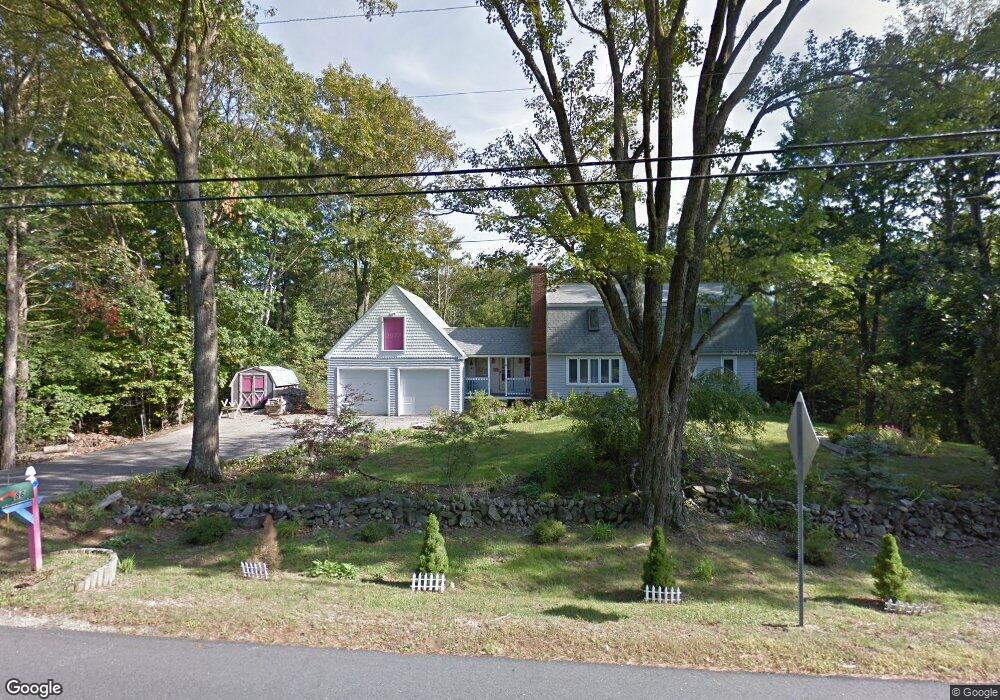
86 Norton Rd Kittery, ME 03904
Estimated Value: $617,000 - $695,000
4
Beds
2
Baths
1,904
Sq Ft
$348/Sq Ft
Est. Value
About This Home
This home is located at 86 Norton Rd, Kittery, ME 03904 and is currently estimated at $663,542, approximately $348 per square foot. 86 Norton Rd is a home with nearby schools including Horace Mitchell Primary School, Shapleigh School, and Robert W Traip Academy.
Ownership History
Date
Name
Owned For
Owner Type
Purchase Details
Closed on
Feb 2, 2005
Sold by
Kennebunk Savings Bank
Bought by
Kuo Linna C
Current Estimated Value
Home Financials for this Owner
Home Financials are based on the most recent Mortgage that was taken out on this home.
Original Mortgage
$236,000
Outstanding Balance
$35,496
Interest Rate
5%
Mortgage Type
Adjustable Rate Mortgage/ARM
Estimated Equity
$628,046
Create a Home Valuation Report for This Property
The Home Valuation Report is an in-depth analysis detailing your home's value as well as a comparison with similar homes in the area
Home Values in the Area
Average Home Value in this Area
Purchase History
| Date | Buyer | Sale Price | Title Company |
|---|---|---|---|
| Kuo Linna C | -- | -- |
Source: Public Records
Mortgage History
| Date | Status | Borrower | Loan Amount |
|---|---|---|---|
| Open | Kuo Linna C | $236,000 | |
| Closed | Kuo Linna C | $59,000 |
Source: Public Records
Tax History
| Year | Tax Paid | Tax Assessment Tax Assessment Total Assessment is a certain percentage of the fair market value that is determined by local assessors to be the total taxable value of land and additions on the property. | Land | Improvement |
|---|---|---|---|---|
| 2024 | $5,514 | $388,300 | $124,600 | $263,700 |
| 2023 | $5,285 | $388,300 | $124,600 | $263,700 |
| 2022 | $5,234 | $388,300 | $124,600 | $263,700 |
| 2021 | $5,048 | $388,300 | $124,600 | $263,700 |
| 2020 | $5,009 | $388,300 | $124,600 | $263,700 |
| 2019 | $4,891 | $281,100 | $72,300 | $208,800 |
| 2018 | $4,722 | $281,100 | $72,300 | $208,800 |
| 2017 | $4,638 | $281,100 | $72,300 | $208,800 |
| 2016 | $4,512 | $281,100 | $72,300 | $208,800 |
| 2015 | $4,405 | $281,100 | $72,300 | $208,800 |
| 2014 | $4,363 | $281,100 | $72,300 | $208,800 |
| 2013 | $4,278 | $281,100 | $72,300 | $208,800 |
Source: Public Records
Map
Nearby Homes
- 3 Izzy Ln
- 50 Lewis Rd
- 25 Bartlett Rd
- 10 Blueberry Ln
- 18 Washburn Farm Ln Unit 4
- 7 Washburn Farm Ln Unit 9
- 30 Drake Ln
- 2 Washburn Farm Ln Unit 1
- 13 Washburn Farm Ln Unit 7
- 12 Washburn Farm Ln Unit 3
- 8 Grover Ln
- 8 Grover Ave
- 10 Lewis Rd
- 8 Spruce Point Rd
- 25 Regency Cir Unit 1
- 2 Woodside Meadow Rd
- 53 Blackberry Place
- 59 Sandalwood Cir
- 49 Sandalwood Cir
- 33 Sandalwood Cir
- 82 Norton Rd
- 89 Norton Rd
- 90 Norton Rd
- 85 Norton Rd
- 80 Norton Rd
- 92 Norton Rd
- 83 Norton Rd
- 78 Norton Rd Unit 3
- 78 Norton Rd Unit 13
- 78 Norton Rd Unit 8
- 78 Norton Rd Unit 11
- 78 Norton Rd Unit 2
- 78 Norton Rd Unit 4
- 78 Norton Rd Unit 14
- 78 Norton Rd
- 78 Norton Rd Unit 1
- 78 Norton Rd Unit 5
- 78 Norton Rd Unit 10
- 78 Norton Rd Unit 12
- 78 Norton Rd Unit 9
Your Personal Tour Guide
Ask me questions while you tour the home.