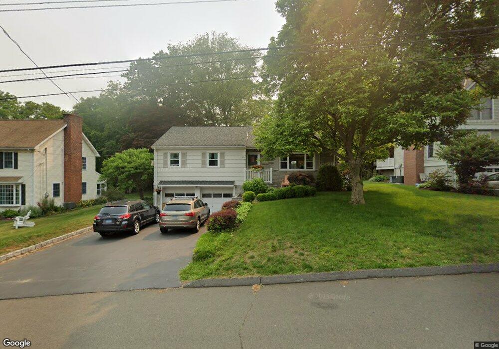
86 Oxbow Rd Fairfield, CT 06824
University NeighborhoodEstimated Value: $747,257 - $824,000
2
Beds
3
Baths
1,386
Sq Ft
$567/Sq Ft
Est. Value
About This Home
This home is located at 86 Oxbow Rd, Fairfield, CT 06824 and is currently estimated at $785,814, approximately $566 per square foot. 86 Oxbow Rd is a home located in Fairfield County with nearby schools including Osborn Hill Elementary School, Fairfield Woods Middle School, and Fairfield Ludlowe High School.
Ownership History
Date
Name
Owned For
Owner Type
Purchase Details
Closed on
Dec 23, 2005
Sold by
Kurzatkowski Kathalene V
Bought by
Benyon Elizabeth G
Current Estimated Value
Purchase Details
Closed on
Oct 2, 2003
Sold by
Martin Elizabeth
Bought by
Kurzatkowski Kathleene
Create a Home Valuation Report for This Property
The Home Valuation Report is an in-depth analysis detailing your home's value as well as a comparison with similar homes in the area
Home Values in the Area
Average Home Value in this Area
Purchase History
| Date | Buyer | Sale Price | Title Company |
|---|---|---|---|
| Benyon Elizabeth G | $495,000 | -- | |
| Benyon Elizabeth G | $495,000 | -- | |
| Kurzatkowski Kathleene | $158,000 | -- | |
| Kurzatkowski Kathleene V | $158,000 | -- |
Source: Public Records
Mortgage History
| Date | Status | Borrower | Loan Amount |
|---|---|---|---|
| Open | Kurzatkowski Kathleene V | $325,000 | |
| Closed | Kurzatkowski Kathleene V | $333,000 | |
| Closed | Kurzatkowski Kathleene V | $360,000 |
Source: Public Records
Tax History
| Year | Tax Paid | Tax Assessment Tax Assessment Total Assessment is a certain percentage of the fair market value that is determined by local assessors to be the total taxable value of land and additions on the property. | Land | Improvement |
|---|---|---|---|---|
| 2025 | $8,979 | $316,260 | $258,930 | $57,330 |
| 2024 | $8,824 | $316,260 | $258,930 | $57,330 |
| 2023 | $8,700 | $316,260 | $258,930 | $57,330 |
| 2022 | $8,615 | $316,260 | $258,930 | $57,330 |
| 2021 | $8,533 | $316,260 | $258,930 | $57,330 |
| 2020 | $8,495 | $317,100 | $256,200 | $60,900 |
| 2019 | $8,495 | $317,100 | $256,200 | $60,900 |
| 2018 | $8,359 | $317,100 | $256,200 | $60,900 |
| 2017 | $8,188 | $317,100 | $256,200 | $60,900 |
| 2016 | $8,070 | $317,100 | $256,200 | $60,900 |
| 2015 | $8,001 | $322,770 | $271,950 | $50,820 |
| 2014 | $7,876 | $322,770 | $271,950 | $50,820 |
Source: Public Records
Map
Nearby Homes
- 1207 Stillson Rd
- 359 Reid St
- 218 Lower Farm Rd
- 196 Robin Ln
- 42 Robin Cir
- 115 Mayfair Rd
- 245 Reid St
- 706 Judd St
- 210 Pansy Rd
- 250 Szost Dr
- 12 Sugar Plum Ln
- 41 Pepperbush Ln
- 68 Figlar Ave
- 288 Melody Ln
- 109 Katona Dr Unit 18
- 105 Charter Oak Rd
- 360 Duck Farm Rd
- 109 Jeniford Rd
- 28 Country Rd
- 1478 Jennings Rd