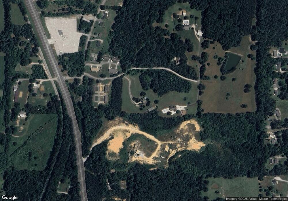
86 Paytn Ln Rock Spring, GA 30739
Rock Spring NeighborhoodEstimated Value: $408,000 - $441,000
3
Beds
2
Baths
2,350
Sq Ft
$181/Sq Ft
Est. Value
About This Home
This home is located at 86 Paytn Ln, Rock Spring, GA 30739 and is currently estimated at $425,748, approximately $181 per square foot. 86 Paytn Ln is a home located in Walker County with nearby schools including Lafayette High School and Alice M Daley Adventist School.
Ownership History
Date
Name
Owned For
Owner Type
Purchase Details
Closed on
Aug 16, 2000
Sold by
Nance Don W
Bought by
Cripps Michael A and Cripps Rebecca
Current Estimated Value
Purchase Details
Closed on
Jul 7, 2000
Sold by
Baker Mary Jane
Bought by
Nance Don W
Create a Home Valuation Report for This Property
The Home Valuation Report is an in-depth analysis detailing your home's value as well as a comparison with similar homes in the area
Home Values in the Area
Average Home Value in this Area
Purchase History
| Date | Buyer | Sale Price | Title Company |
|---|---|---|---|
| Cripps Michael A | $28,000 | -- | |
| Nance Don W | $23,500 | -- |
Source: Public Records
Tax History Compared to Growth
Tax History
| Year | Tax Paid | Tax Assessment Tax Assessment Total Assessment is a certain percentage of the fair market value that is determined by local assessors to be the total taxable value of land and additions on the property. | Land | Improvement |
|---|---|---|---|---|
| 2024 | $3,698 | $155,996 | $15,725 | $140,271 |
| 2023 | $3,548 | $145,767 | $12,480 | $133,287 |
| 2022 | $3,229 | $130,696 | $16,116 | $114,580 |
| 2021 | $3,227 | $118,182 | $16,116 | $102,066 |
| 2020 | $2,812 | $98,394 | $16,116 | $82,278 |
| 2019 | $2,863 | $98,394 | $16,116 | $82,278 |
| 2018 | $2,603 | $98,394 | $16,116 | $82,278 |
| 2017 | $3,134 | $98,394 | $16,116 | $82,278 |
| 2016 | $2,489 | $98,394 | $16,116 | $82,278 |
| 2015 | $2,360 | $87,631 | $15,128 | $72,503 |
| 2014 | $2,225 | $87,631 | $15,128 | $72,503 |
| 2013 | -- | $87,631 | $15,128 | $72,503 |
Source: Public Records
Map
Nearby Homes
- 1476 Arnold Rd
- 1121 Arnold Rd
- 1902 Long Hollow Rd
- 195 Honeysuckle Dr
- 59 Honeysuckle Dr
- 788 Long Hollow Rd
- 918 Old Lafayette Rd
- 36 Pheonix Cir
- 954 Goodson Cir
- 514 Ginger Lake Dr
- 386 Twelve Oaks Dr
- 285 Cooper Rd
- 70 Deer Ridge Ln
- 103 Deer Ridge Ln
- 375 Cooper Rd
- 294 E Long Hollow Rd
- 701 Bicentennial Trail
- 200 Hunting Ridge Cir
- 1370 Old Highway 27
- 183 Long Hollow Rd
- 262 Paytn Ln
- 262 Paytn Ln
- 185 Paytn Ln
- 54 Avery Dr
- 61 Avery Dr
- 14 Avery Dr
- 41 Avery Dr
- 0 N Highway 27 Unit RTC2913180
- 0 N Highway 27 Unit RTC2719935
- 9098 N Highway 27
- 8100 N Highway 27
- 17 N Highway 27
- 100 N Highway 27
- 0 N Highway 27
- 6620 N Highway 27
- 7001 N Highway N 27 Hwy
- 12937 N Highway 27
- 8442 N Highway 27
- 1441 Arnold Rd
