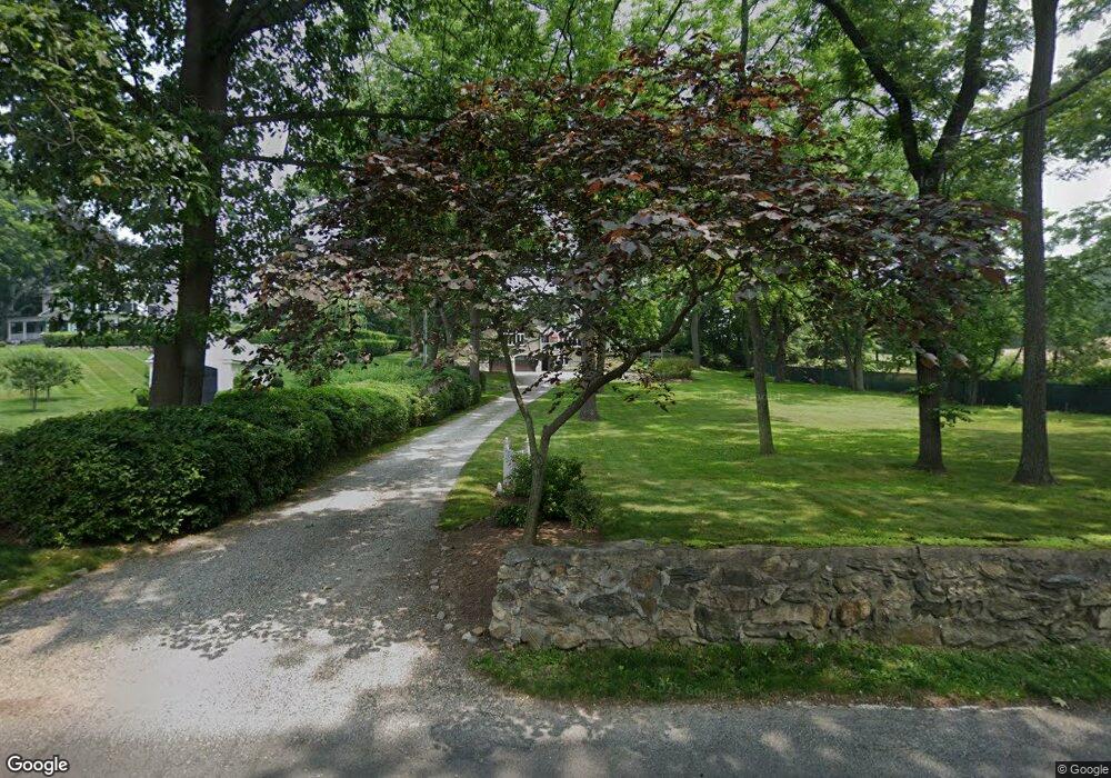
86 Pear Tree Point Rd Darien, CT 06820
Estimated Value: $3,976,000 - $4,549,000
3
Beds
3
Baths
3,012
Sq Ft
$1,375/Sq Ft
Est. Value
About This Home
This home is located at 86 Pear Tree Point Rd, Darien, CT 06820 and is currently estimated at $4,140,411, approximately $1,374 per square foot. 86 Pear Tree Point Rd is a home with nearby schools including Tokeneke Elementary School, Middlesex Middle School, and Darien High School.
Ownership History
Date
Name
Owned For
Owner Type
Purchase Details
Closed on
Apr 26, 2001
Sold by
Gray Lawrence R and Gray Thea A
Bought by
Potter Julie C
Current Estimated Value
Create a Home Valuation Report for This Property
The Home Valuation Report is an in-depth analysis detailing your home's value as well as a comparison with similar homes in the area
Home Values in the Area
Average Home Value in this Area
Purchase History
| Date | Buyer | Sale Price | Title Company |
|---|---|---|---|
| Potter Julie C | $1,960,000 | -- |
Source: Public Records
Mortgage History
| Date | Status | Borrower | Loan Amount |
|---|---|---|---|
| Previous Owner | Potter Julie C | $350,000 | |
| Previous Owner | Potter Julie C | $180,000 |
Source: Public Records
Tax History
| Year | Tax Paid | Tax Assessment Tax Assessment Total Assessment is a certain percentage of the fair market value that is determined by local assessors to be the total taxable value of land and additions on the property. | Land | Improvement |
|---|---|---|---|---|
| 2025 | $33,840 | $2,186,030 | $1,715,000 | $471,030 |
| 2024 | $32,113 | $2,186,030 | $1,715,000 | $471,030 |
| 2023 | $31,904 | $1,811,670 | $1,347,500 | $464,170 |
| 2022 | $31,215 | $1,811,670 | $1,347,500 | $464,170 |
| 2021 | $30,509 | $1,811,670 | $1,347,500 | $464,170 |
| 2020 | $29,639 | $1,811,670 | $1,347,500 | $464,170 |
| 2019 | $29,838 | $1,811,670 | $1,347,500 | $464,170 |
| 2018 | $24,755 | $1,539,510 | $1,092,000 | $447,510 |
| 2017 | $24,878 | $1,539,510 | $1,092,000 | $447,510 |
| 2016 | $24,278 | $1,539,510 | $1,092,000 | $447,510 |
| 2015 | $23,631 | $1,539,510 | $1,092,000 | $447,510 |
| 2014 | $23,108 | $1,539,510 | $1,092,000 | $447,510 |
Source: Public Records
Map
Nearby Homes
- 18 Pasture Ln
- 23 Beach Dr
- 20 Outlook Dr
- 3 Salt Box Ln E
- 32 Relihan Rd
- 66 Stanton Rd
- 77 Maple St
- 12 Walmsley Rd
- 33 Dora St
- 7 Dora St Unit 7
- 18 Tokeneke Trail
- 950 Cove Rd Unit B6
- 17 Contentment Island Rd
- 10 Cross Rd
- 18 Winding Ln
- 29 Waterbury Ave
- 85 Avery St
- 163 Sylvan Knoll Rd
- 104 Sylvan Knoll Rd
- 171 Sylvan Knoll Rd
- 66 Pear Tree Point Rd
- 70 Long Neck Point Rd
- 60 Long Neck Point Rd
- 65 Pear Tree Point Rd
- 92 Pear Tree Point Rd
- 88 Pear Tree Point Rd
- 90 Pear Tree Point Rd
- 44 Long Neck Point Rd
- 48 Long Neck Point Rd
- 58 Pear Tree Point Rd
- 94 Pear Tree Point Rd
- 102 Pear Tree Point Rd
- 38 Long Neck Point Rd
- 40 Pear Tree Point Rd
- 90 Long Neck Point Rd
- 47 Pear Tree Point Rd
- 98 Pear Tree Point Rd
- 80 Long Neck Point Rd
- 39 Pear Tree Point Rd
- 100 Long Neck Point Rd
Your Personal Tour Guide
Ask me questions while you tour the home.