86 Presidential Dr Royersford, PA 19468
Limerick Township NeighborhoodEstimated Value: $471,843 - $518,000
3
Beds
2
Baths
1,680
Sq Ft
$293/Sq Ft
Est. Value
About This Home
This home is located at 86 Presidential Dr, Royersford, PA 19468 and is currently estimated at $492,461, approximately $293 per square foot. 86 Presidential Dr is a home located in Montgomery County with nearby schools including Evans Elementary School, Spring-Ford Middle School 8th Grade Center, and Spring-Ford Middle School 5/6/7 Grade Center.
Ownership History
Date
Name
Owned For
Owner Type
Purchase Details
Closed on
Nov 14, 2008
Sold by
Kenyon Lydia M and Stanton John J
Bought by
Mclaughlin Revoc Tr
Current Estimated Value
Purchase Details
Closed on
Apr 21, 2006
Sold by
Hackman Florence B
Bought by
Stanton John J and Kenyon Lydia M
Home Financials for this Owner
Home Financials are based on the most recent Mortgage that was taken out on this home.
Original Mortgage
$150,000
Interest Rate
6.34%
Purchase Details
Closed on
Jun 30, 2003
Sold by
Siebert Alice E and Siebert Andrew J
Bought by
Hackman Florence B
Create a Home Valuation Report for This Property
The Home Valuation Report is an in-depth analysis detailing your home's value as well as a comparison with similar homes in the area
Home Values in the Area
Average Home Value in this Area
Purchase History
| Date | Buyer | Sale Price | Title Company |
|---|---|---|---|
| Mclaughlin Revoc Tr | $290,000 | None Available | |
| Stanton John J | $298,000 | None Available | |
| Hackman Florence B | $226,000 | -- |
Source: Public Records
Mortgage History
| Date | Status | Borrower | Loan Amount |
|---|---|---|---|
| Previous Owner | Stanton John J | $150,000 |
Source: Public Records
Tax History Compared to Growth
Tax History
| Year | Tax Paid | Tax Assessment Tax Assessment Total Assessment is a certain percentage of the fair market value that is determined by local assessors to be the total taxable value of land and additions on the property. | Land | Improvement |
|---|---|---|---|---|
| 2025 | $6,203 | $160,410 | $46,720 | $113,690 |
| 2024 | $6,203 | $160,410 | $46,720 | $113,690 |
| 2023 | $5,919 | $160,410 | $46,720 | $113,690 |
| 2022 | $5,718 | $160,410 | $46,720 | $113,690 |
| 2021 | $5,583 | $160,410 | $46,720 | $113,690 |
| 2020 | $5,441 | $160,410 | $46,720 | $113,690 |
| 2019 | $5,342 | $160,410 | $46,720 | $113,690 |
| 2018 | $4,309 | $160,410 | $46,720 | $113,690 |
| 2017 | $5,243 | $160,410 | $46,720 | $113,690 |
| 2016 | $5,181 | $160,410 | $46,720 | $113,690 |
| 2015 | $5,056 | $160,410 | $46,720 | $113,690 |
| 2014 | $4,957 | $160,410 | $46,720 | $113,690 |
Source: Public Records
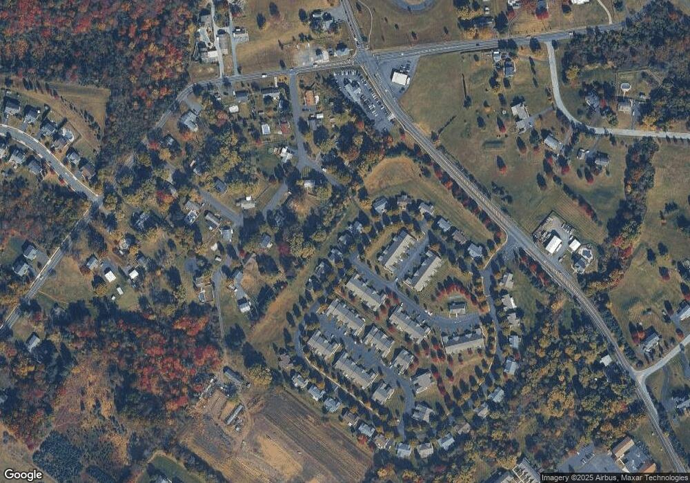
Map
Nearby Homes
- 94 Presidential Dr
- 172 Oak Creek Dr
- 160 Deer Run Ct
- 300 Deer Run Ct
- 180 Deer Run Ct
- 790 Doe Ct
- 609 Village Way
- 601 Village Way
- 405 Village Way
- 107 Carver Ln
- 169 Larrabee Way
- 150 Larrabee Way
- 0 Steinmetz Rd
- 0 N Limerick Rd
- 787 N Lewis Rd
- 5503 Drawbridge Ct
- 5506 Drawbridge Ct
- 107 Walker Rd
- 0 Industrial Pkwy Unit PAMC2142810
- 88 Ironwood Dr
- 82 Presidential Dr
- 90 Presidential Dr
- 78 Presidential Dr
- 236 Franklin Ct
- 234 Franklin Ct
- 111 Madison Ct
- 109 Madison Ct
- 107 Madison Ct
- 23 Roberta Ln
- 74 Presidential Dr
- 105 Madison Ct
- 18 Roberta Ln
- 230 Franklin Ct Unit 44
- 103 Madison Ct
- 101 Madison Ct
- 228 Franklin Ct
- 331 Jefferson Ct
- 226 Franklin Ct
- 98 Presidential Dr
- 329 Jefferson Ct