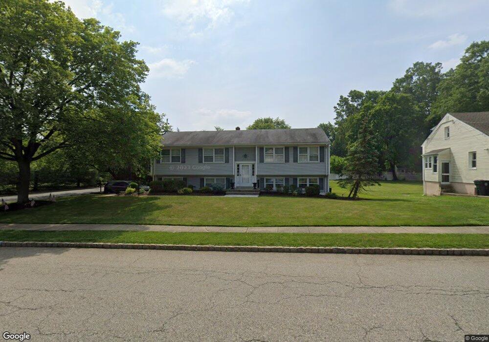
86 Reynolds Ave Whippany, NJ 07981
Estimated Value: $745,503 - $834,000
--
Bed
--
Bath
2,376
Sq Ft
$335/Sq Ft
Est. Value
About This Home
This home is located at 86 Reynolds Ave, Whippany, NJ 07981 and is currently estimated at $794,876, approximately $334 per square foot. 86 Reynolds Ave is a home located in Morris County with nearby schools including Whippany Park High School, Arrow Academy, and The Morristown-Beard School.
Ownership History
Date
Name
Owned For
Owner Type
Purchase Details
Closed on
Dec 30, 2014
Sold by
Kurz Joan M
Bought by
Kurz Dana
Current Estimated Value
Home Financials for this Owner
Home Financials are based on the most recent Mortgage that was taken out on this home.
Original Mortgage
$400,000
Interest Rate
3.99%
Mortgage Type
Purchase Money Mortgage
Create a Home Valuation Report for This Property
The Home Valuation Report is an in-depth analysis detailing your home's value as well as a comparison with similar homes in the area
Home Values in the Area
Average Home Value in this Area
Purchase History
| Date | Buyer | Sale Price | Title Company |
|---|---|---|---|
| Kurz Dana | $500,000 | Wfg National Title Insurance | |
| Kurz Dana | $500,000 | None Available |
Source: Public Records
Mortgage History
| Date | Status | Borrower | Loan Amount |
|---|---|---|---|
| Previous Owner | Kurz Dana | $400,000 |
Source: Public Records
Tax History Compared to Growth
Tax History
| Year | Tax Paid | Tax Assessment Tax Assessment Total Assessment is a certain percentage of the fair market value that is determined by local assessors to be the total taxable value of land and additions on the property. | Land | Improvement |
|---|---|---|---|---|
| 2025 | $8,105 | $384,500 | $174,200 | $210,300 |
| 2024 | $8,071 | $384,500 | $174,200 | $210,300 |
| 2023 | $8,071 | $384,500 | $174,200 | $210,300 |
| 2022 | $7,382 | $384,500 | $174,200 | $210,300 |
| 2021 | $7,382 | $384,500 | $174,200 | $210,300 |
| 2020 | $7,252 | $384,500 | $174,200 | $210,300 |
| 2019 | $7,275 | $384,500 | $174,200 | $210,300 |
| 2018 | $7,148 | $384,500 | $174,200 | $210,300 |
| 2017 | $6,936 | $384,500 | $174,200 | $210,300 |
| 2016 | $6,836 | $384,500 | $174,200 | $210,300 |
| 2015 | $6,563 | $384,500 | $174,200 | $210,300 |
| 2014 | $6,421 | $384,500 | $174,200 | $210,300 |
Source: Public Records
Map
Nearby Homes
- 11 Nemic Ln
- 39 Lefke Ln
- 26 David Dr
- 96 Parsippany Rd
- 92 Sunrise Dr
- 26 Gladstone Ct
- 42 Gladstone Ct
- 34 Gladstone Ct
- 14 Gladstone Ct
- Monterey Plan at The Grove - The Monterey Collection
- Pershing Plan at The Grove - The Pershing Collection
- 2003 Vermont Terrace Unit 2003
- 709 Brook Hollow Dr Unit 709
- 00 Algonquin Pkwy
- 53 Westminster Dr
- 74 Preston Rd
- 3306 Appleton Way
- 72 Schindler Ct
- 89 Schindler Ct
- 91 Rhyan Dr
- 84 Reynolds Ave
- 6 Hillcrest Rd
- 90 Reynolds Ave
- 82 Reynolds Ave
- 8 Hillcrest Rd
- 87 Reynolds Ave
- 85 Reynolds Ave
- 5 Hillcrest Rd
- 92 Reynolds Ave
- 10 Fischer Place
- 10 Hillcrest Rd
- 89 Reynolds Ave
- 76 Reynolds Ave
- 7 Hillcrest Rd
- 93 Reynolds Ave
- 94 Reynolds Ave
- 81 Reynolds Ave
- 83 Reynolds Ave
- 12 Hillcrest Rd
- 9 Hillcrest Rd