86 Sandy Point Rd Yarmouth, ME 04096
Cousins Island NeighborhoodEstimated Value: $1,043,031 - $1,486,000
3
Beds
3
Baths
2,880
Sq Ft
$440/Sq Ft
Est. Value
About This Home
This home is located at 86 Sandy Point Rd, Yarmouth, ME 04096 and is currently estimated at $1,268,508, approximately $440 per square foot. 86 Sandy Point Rd is a home located in Cumberland County with nearby schools including William H. Rowe School, Yarmouth Elementary School, and Frank H. Harrison Middle School.
Ownership History
Date
Name
Owned For
Owner Type
Purchase Details
Closed on
May 28, 2013
Sold by
Paolucci Mark M and Paolucci Judith J
Bought by
Finn Deborah W
Current Estimated Value
Home Financials for this Owner
Home Financials are based on the most recent Mortgage that was taken out on this home.
Original Mortgage
$448,000
Outstanding Balance
$318,113
Interest Rate
3.45%
Mortgage Type
Purchase Money Mortgage
Estimated Equity
$950,395
Purchase Details
Closed on
Jul 1, 2009
Sold by
Paolucci Mark M
Bought by
Paolucci Mark M and Paolucci Judith J
Home Financials for this Owner
Home Financials are based on the most recent Mortgage that was taken out on this home.
Original Mortgage
$417,000
Interest Rate
4.86%
Mortgage Type
Unknown
Create a Home Valuation Report for This Property
The Home Valuation Report is an in-depth analysis detailing your home's value as well as a comparison with similar homes in the area
Home Values in the Area
Average Home Value in this Area
Purchase History
| Date | Buyer | Sale Price | Title Company |
|---|---|---|---|
| Finn Deborah W | -- | -- | |
| Paolucci Mark M | -- | -- |
Source: Public Records
Mortgage History
| Date | Status | Borrower | Loan Amount |
|---|---|---|---|
| Open | Finn Deborah W | $448,000 | |
| Previous Owner | Paolucci Mark M | $340,500 | |
| Previous Owner | Paolucci Mark M | $123,500 | |
| Previous Owner | Paolucci Mark M | $417,000 | |
| Previous Owner | Paolucci Mark M | $200,000 |
Source: Public Records
Tax History Compared to Growth
Tax History
| Year | Tax Paid | Tax Assessment Tax Assessment Total Assessment is a certain percentage of the fair market value that is determined by local assessors to be the total taxable value of land and additions on the property. | Land | Improvement |
|---|---|---|---|---|
| 2024 | $13,246 | $516,000 | $208,000 | $308,000 |
| 2023 | $12,147 | $516,000 | $208,000 | $308,000 |
| 2022 | $11,156 | $516,000 | $208,000 | $308,000 |
| 2021 | $10,217 | $516,000 | $208,000 | $308,000 |
| 2020 | $10,114 | $516,000 | $208,000 | $308,000 |
| 2019 | $9,732 | $516,000 | $208,000 | $308,000 |
| 2018 | $9,185 | $516,000 | $208,000 | $308,000 |
| 2017 | $8,855 | $516,000 | $208,000 | $308,000 |
| 2016 | $8,803 | $516,000 | $208,000 | $308,000 |
| 2015 | $9,167 | $425,200 | $149,600 | $275,600 |
| 2014 | $9,184 | $425,200 | $149,600 | $275,600 |
| 2013 | $9,354 | $425,200 | $0 | $0 |
Source: Public Records
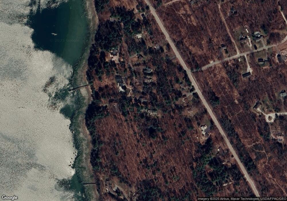
Map
Nearby Homes
- 51 Oakland Ave
- 87 Wharf Rd
- 24 Daybreak Ln
- 92 Spruce Point Rd
- 184 Spruce Point Rd
- 51 Meeting House Farms Rd
- 9 Broad Reach Rd
- 6 Ebb Tide Dr
- 21 Ledge Rd
- 30 Blueberry Cove
- 52 Blueberry Cove Rd Unit 52
- Lot 2 Buxhill Blvd
- 62 Blueberry Cove Rd Unit 62
- 86 Pleasant St
- Lot#8C North Rd
- 51 Pleasant St
- 1 Ledge Rd
- 16 Town Landing Rd
- 69 Rand Rd
- 70 Main St
- 76 Sandy Point Rd
- 94 Sandy Point Rd
- 72 Sandy Point Rd
- 62 Sandy Point Rd
- 159 Cousins St
- 65 Sandy Point Rd
- 153 Cousins St
- 95 Sandy Point Rd
- 171 Cousins St
- 129 Cousins St
- 52 Sandy Point Rd
- 113 Cousins St
- 00 Groves Rd
- 57 Sandy Point Rd
- 97 Cousins St
- 189 Cousins St
- 89 Cousins St
- 23 Sandy Point Rd
- 213 Cousins St
- 30 Groves Rd