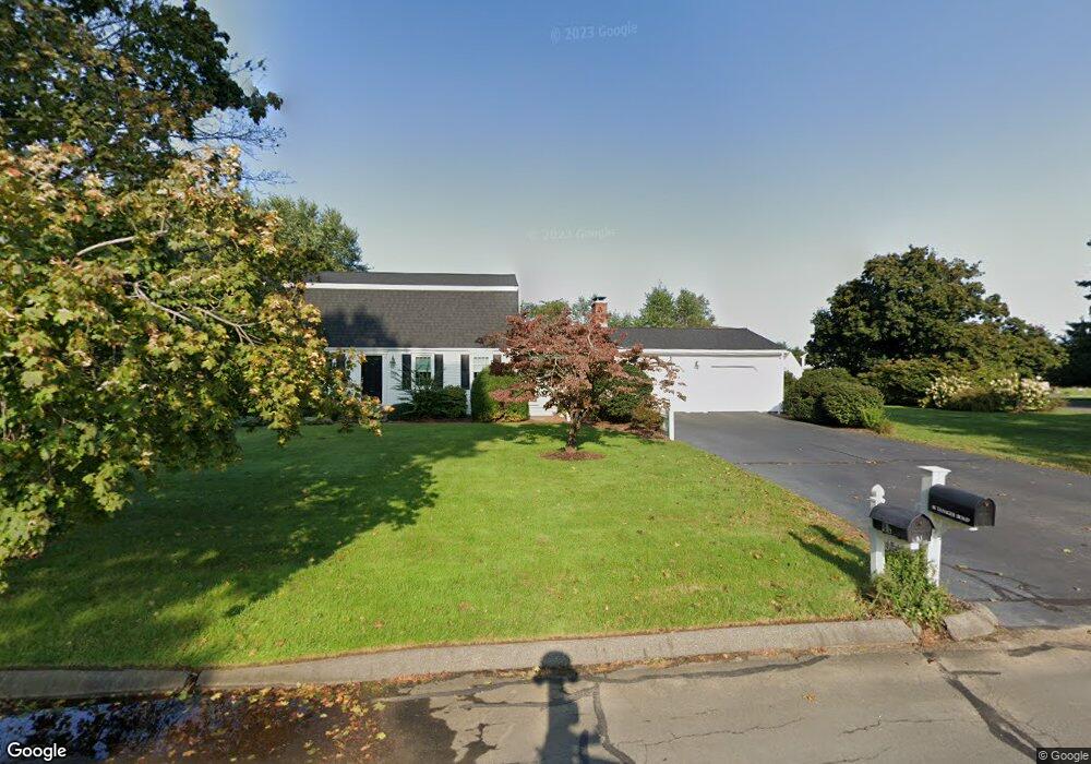
86 Tanager Rd Seekonk, MA 02771
Estimated Value: $671,061 - $774,000
3
Beds
2
Baths
2,106
Sq Ft
$341/Sq Ft
Est. Value
About This Home
This home is located at 86 Tanager Rd, Seekonk, MA 02771 and is currently estimated at $718,765, approximately $341 per square foot. 86 Tanager Rd is a home located in Bristol County with nearby schools including Seekonk High School, St Cecilia School, and St Margaret School.
Ownership History
Date
Name
Owned For
Owner Type
Purchase Details
Closed on
Jun 17, 2019
Sold by
Varone Anthony F
Bought by
Mccarthy Henry N and Mccarthy Patricia A
Current Estimated Value
Purchase Details
Closed on
Jan 1, 1978
Bought by
Mccarthy Henry N and Mccarthy Patricia A
Create a Home Valuation Report for This Property
The Home Valuation Report is an in-depth analysis detailing your home's value as well as a comparison with similar homes in the area
Home Values in the Area
Average Home Value in this Area
Purchase History
| Date | Buyer | Sale Price | Title Company |
|---|---|---|---|
| Mccarthy Henry N | -- | -- | |
| Mccarthy Henry N | -- | -- | |
| Mccarthy Henry N | -- | -- |
Source: Public Records
Mortgage History
| Date | Status | Borrower | Loan Amount |
|---|---|---|---|
| Previous Owner | Mccarthy Henry N | $116,500 | |
| Previous Owner | Mccarthy Henry N | $26,600 | |
| Previous Owner | Mccarthy Henry N | $135,000 |
Source: Public Records
Tax History
| Year | Tax Paid | Tax Assessment Tax Assessment Total Assessment is a certain percentage of the fair market value that is determined by local assessors to be the total taxable value of land and additions on the property. | Land | Improvement |
|---|---|---|---|---|
| 2025 | $7,378 | $597,400 | $193,500 | $403,900 |
| 2024 | $7,062 | $571,800 | $193,500 | $378,300 |
| 2023 | $6,801 | $518,800 | $173,900 | $344,900 |
| 2022 | $6,150 | $461,000 | $167,000 | $294,000 |
| 2021 | $5,927 | $436,800 | $148,700 | $288,100 |
| 2020 | $5,580 | $423,700 | $148,800 | $274,900 |
| 2019 | $5,330 | $408,100 | $148,800 | $259,300 |
| 2018 | $5,268 | $394,600 | $148,800 | $245,800 |
| 2017 | $5,050 | $375,200 | $142,400 | $232,800 |
| 2016 | $4,997 | $372,600 | $142,400 | $230,200 |
| 2015 | $4,847 | $366,400 | $142,400 | $224,000 |
Source: Public Records
Map
Nearby Homes
- 74 Tanager Rd
- 34 Meadowlark Dr
- 34 Meadowlark Dr
- 81 Tanager Rd
- 29 Meadowlark Dr
- 62 Tanager Rd
- 69 Tanager Rd
- 41 Meadowlark Dr
- 44 Meadowlark Dr
- 17 Meadowlark Dr
- 57 Tanager Rd
- 10 Meadowlark Dr
- 18 Turnstone Ln
- 50 Tanager Rd
- 260 Brown Ave
- 50 Meadowlark Dr
- 5 Meadowlark Dr
- 15 Turnstone Ln
- 53 Meadowlark Dr
- 45 Tanager Rd
Your Personal Tour Guide
Ask me questions while you tour the home.