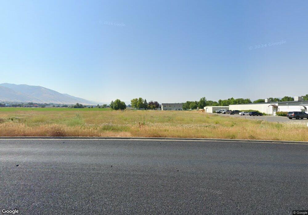
86 W 1200 S Logan, UT 84321
Woodruff NeighborhoodEstimated Value: $716,000
--
Bed
--
Bath
--
Sq Ft
3.44
Acres
About This Home
This home is located at 86 W 1200 S, Logan, UT 84321 and is currently estimated at $716,000. 86 W 1200 S is a home located in Cache County with nearby schools including Hillcrest Elementary School, Mount Logan Middle School, and Logan High School.
Ownership History
Date
Name
Owned For
Owner Type
Purchase Details
Closed on
Dec 17, 2024
Sold by
87 West Partners Llc and Blue Creek Lodging Llc
Bought by
87 West Partners Llc
Current Estimated Value
Purchase Details
Closed on
Aug 2, 2018
Sold by
C A Fullmer Family Llc
Bought by
Kokopelli Investments Llc and 87 West Partners Llc
Purchase Details
Closed on
Jul 27, 2006
Sold by
Bradley James L
Bought by
Raw Investments Llc
Home Financials for this Owner
Home Financials are based on the most recent Mortgage that was taken out on this home.
Original Mortgage
$142,201
Interest Rate
6.69%
Mortgage Type
Purchase Money Mortgage
Create a Home Valuation Report for This Property
The Home Valuation Report is an in-depth analysis detailing your home's value as well as a comparison with similar homes in the area
Home Values in the Area
Average Home Value in this Area
Purchase History
| Date | Buyer | Sale Price | Title Company |
|---|---|---|---|
| 87 West Partners Llc | -- | Hickman Land Title | |
| Kokopelli Investments Llc | -- | Hickman Land Title Company | |
| Raw Investments Llc | -- | American Secure Title |
Source: Public Records
Mortgage History
| Date | Status | Borrower | Loan Amount |
|---|---|---|---|
| Previous Owner | Raw Investments Llc | $142,201 |
Source: Public Records
Tax History Compared to Growth
Tax History
| Year | Tax Paid | Tax Assessment Tax Assessment Total Assessment is a certain percentage of the fair market value that is determined by local assessors to be the total taxable value of land and additions on the property. | Land | Improvement |
|---|---|---|---|---|
| 2024 | $5,303 | $664,246 | $664,246 | $0 |
| 2023 | $5,454 | $651,222 | $651,222 | $0 |
| 2022 | $4,942 | $551,034 | $551,034 | $0 |
| 2021 | $5,816 | $551,034 | $551,034 | $0 |
| 2020 | $6,463 | $551,034 | $551,034 | $0 |
| 2019 | $6,755 | $551,034 | $551,034 | $0 |
| 2018 | $7,398 | $551,034 | $551,034 | $0 |
| 2017 | $6,935 | $496,585 | $0 | $0 |
| 2016 | $7,191 | $496,585 | $0 | $0 |
| 2015 | $7,199 | $496,585 | $0 | $0 |
| 2014 | $6,507 | $496,585 | $0 | $0 |
| 2013 | -- | $496,585 | $0 | $0 |
Source: Public Records
Map
Nearby Homes
- 162 W 1275 S Unit 162
- 1506 Talon Dr
- 1564 Talon Dr
- 233 W 1010 S
- 265 W 1010 S
- 273 W 1010 S
- 473 W 40 S Unit 204
- 475 W 60 S Unit L304
- 475 W 60 S Unit 303
- 460 W 15 S Unit G301
- 460 W 15 S Unit G202
- 460 W 15 S Unit G201
- 462 W 40 S Unit 202
- 427 W 65 S
- 874 Riverwood Dr
- 254 N Spring Creek Pkwy
- 2 S 410 W
- 476 Cobblestone
- 391 Cobblestone
- 287 S 375 W