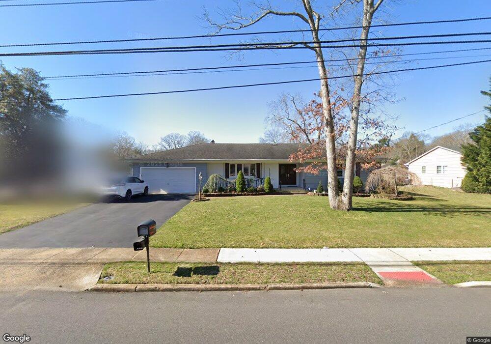
860 Brookside Dr Toms River, NJ 08753
Toms River AreaEstimated Value: $535,942 - $664,000
About This Home
This home is located at 860 Brookside Dr, Toms River, NJ 08753 and is currently estimated at $587,736, approximately $347 per square foot. 860 Brookside Dr is a home located in Ocean County with nearby schools including St Joseph Grade School and Donovan Catholic High School.
Ownership History
We collect this data history from publicly available records. To have your information removed, we recommend requesting removal directly through your county’s website.
Purchase Details
Home Financials for this Owner
Home Financials are based on the most recent Mortgage that was taken out on this home.Purchase Details
Home Values in the Area
Average Home Value in this Area
Purchase History
We collect this data history from publicly available records. To have your information removed, we recommend requesting removal directly through your county’s website.
| Date | Buyer | Sale Price | Title Company |
|---|---|---|---|
| $325,000 | Multiple | ||
| $170,000 | -- |
Mortgage History
We collect this data history from publicly available records. To have your information removed, we recommend requesting removal directly through your county’s website.
| Date | Status | Borrower | Loan Amount |
|---|---|---|---|
| Open | $160,000 | ||
| Closed | $142,000 |
Tax History
We collect this data history from publicly available records. To have your information removed, we recommend requesting removal directly through your county’s website.
| Year | Tax Paid | Tax Assessment Tax Assessment Total Assessment is a certain percentage of the fair market value that is determined by local assessors to be the total taxable value of land and additions on the property. | Land | Improvement |
|---|---|---|---|---|
| 2026 | $6,606 | $338,100 | $190,000 | $148,100 |
| 2025 | $6,606 | $338,100 | $190,000 | $148,100 |
| 2024 | $5,853 | $338,100 | $190,000 | $148,100 |
| 2023 | $5,643 | $338,100 | $190,000 | $148,100 |
| 2022 | $5,643 | $338,100 | $190,000 | $148,100 |
| 2021 | $4,876 | $226,300 | $103,800 | $122,500 |
| 2020 | $5,644 | $226,300 | $103,800 | $122,500 |
| 2019 | $5,400 | $226,300 | $103,800 | $122,500 |
| 2018 | $5,327 | $226,300 | $103,800 | $122,500 |
| 2017 | $5,282 | $226,300 | $103,800 | $122,500 |
| 2016 | $5,144 | $226,300 | $103,800 | $122,500 |
| 2015 | $4,949 | $226,300 | $103,800 | $122,500 |
| 2014 | $4,712 | $226,300 | $103,800 | $122,500 |
Map
- 864 Breezy Oaks Dr
- 901 Roundtree Dr
- 804 Brookside Dr
- 782 Bay Ave
- 932 Alden Dr
- 927 Indian Hill Rd
- 648 Dave Marion Rd
- 515 Pheasant Ln
- 684 Brookside Dr
- 1024 Hooper Ave
- 523 Pheasant Ln
- 509 Transom Ct
- 348 Cedar Grove Rd
- 757 Stepping Stone Ct
- 302 Bent Trail Unit 1261
- 405 Bent Trail Unit 1152
- 652 Brookside Dr
- 620 Hillside Dr
- 756 Opatut Ct
- 7 Musket Place
- 856 Brookside Dr
- 864 Brookside Dr
- 868 Brookside Dr
- 852 Brookside Dr
- 197 Barbara Ln
- 194 Lester Rd
- 849 Brookside Dr
- 201 Barbara Ln
- 872 Brookside Dr
- 198 Lester Rd
- 848 Breezy Oaks Dr
- 871 Brookside Dr
- 202 Lester Rd
- 205 Barbara Ln
- 185 Lester Rd
- 22 Brookside Ct
- 840 Breezy Oaks Dr
- 846 Brookside Dr
- 876 Brookside Dr
- 197 Lester Rd
Ask me questions while you tour the home.