Estimated Value: $155,000 - $193,000
3
Beds
1
Bath
1,296
Sq Ft
$139/Sq Ft
Est. Value
About This Home
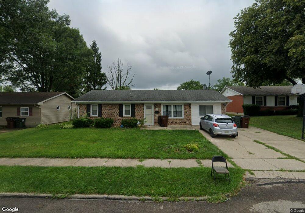
This home is located at 860 Buckskin Trail, Xenia, OH 45385 and is currently estimated at $180,618, approximately $139 per square foot. 860 Buckskin Trail is a home located in Greene County with nearby schools including Xenia High School, Summit Academy Community School for Alternative Learners - Xenia, and Legacy Christian Academy.
Ownership History
Date
Name
Owned For
Owner Type
Purchase Details
Closed on
Jun 23, 2017
Sold by
Muterspaw Eric D and Muterspaw Carrie S
Bought by
Muterspaw Erica F and Vanderpool Justen W
Current Estimated Value
Home Financials for this Owner
Home Financials are based on the most recent Mortgage that was taken out on this home.
Original Mortgage
$79,532
Outstanding Balance
$66,027
Interest Rate
3.95%
Mortgage Type
FHA
Estimated Equity
$114,591
Purchase Details
Closed on
May 3, 1993
Bought by
Muterspaw Eric D and Muterspaw Muterspaw
Create a Home Valuation Report for This Property
The Home Valuation Report is an in-depth analysis detailing your home's value as well as a comparison with similar homes in the area
Home Values in the Area
Average Home Value in this Area
Purchase History
| Date | Buyer | Sale Price | Title Company |
|---|---|---|---|
| Muterspaw Erica F | $81,000 | Hallmark Title | |
| Muterspaw Eric D | $55,900 | -- |
Source: Public Records
Mortgage History
| Date | Status | Borrower | Loan Amount |
|---|---|---|---|
| Open | Muterspaw Erica F | $79,532 |
Source: Public Records
Tax History Compared to Growth
Tax History
| Year | Tax Paid | Tax Assessment Tax Assessment Total Assessment is a certain percentage of the fair market value that is determined by local assessors to be the total taxable value of land and additions on the property. | Land | Improvement |
|---|---|---|---|---|
| 2024 | $1,988 | $46,470 | $11,650 | $34,820 |
| 2023 | $1,988 | $46,470 | $11,650 | $34,820 |
| 2022 | $1,647 | $32,820 | $6,860 | $25,960 |
| 2021 | $1,669 | $32,820 | $6,860 | $25,960 |
| 2020 | $1,599 | $32,820 | $6,860 | $25,960 |
| 2019 | $1,422 | $27,480 | $6,630 | $20,850 |
| 2018 | $1,428 | $27,480 | $6,630 | $20,850 |
| 2017 | $1,349 | $27,480 | $6,630 | $20,850 |
| 2016 | $1,277 | $24,790 | $6,630 | $18,160 |
| 2015 | $1,281 | $24,790 | $6,630 | $18,160 |
| 2014 | $1,225 | $24,790 | $6,630 | $18,160 |
Source: Public Records
Map
Nearby Homes
- 1208 Bellbrook Ave
- 1272 Bellbrook Ave
- 1144 Rockwell Dr
- 1778 Arapaho Dr
- 1618 Navajo Dr
- 1342 Kylemore Dr
- 1568 Cheyenne Dr
- 1653 Seneca Dr
- 1223 June Dr
- 1233 June Dr
- 1283 June Dr
- 1403 Texas Dr
- 1391 June Dr
- 1769 Gayhart Dr
- 1866 Roxbury Dr
- 305-325 Bellbrook Ave
- 1829 Gayhart Dr
- 523 Newport Rd
- 453 Walnut St
- 1908 Whitt St
- 874 Buckskin Trail
- 846 Buckskin Trail
- 884 Buckskin Trail
- 865 Moccasin Trail
- 834 Buckskin Trail
- 879 Moccasin Trail
- 851 Moccasin Trail
- 1416 Peacepipe Trail
- 891 Moccasin Trail
- 839 Moccasin Trail
- 1415 Peacepipe Trail
- 820 Buckskin Trail
- 1462 Arrowhead Trail
- 1454 Arrowhead Trail
- 1404 Peacepipe Trail
- 1478 Arrowhead Trail
- 833 Buckskin Trail
- 825 Moccasin Trail
- 1401 Peacepipe Trail
- 1490 Arrowhead Trail