Estimated Value: $273,000 - $556,000
5
Beds
4
Baths
3,973
Sq Ft
$117/Sq Ft
Est. Value
About This Home
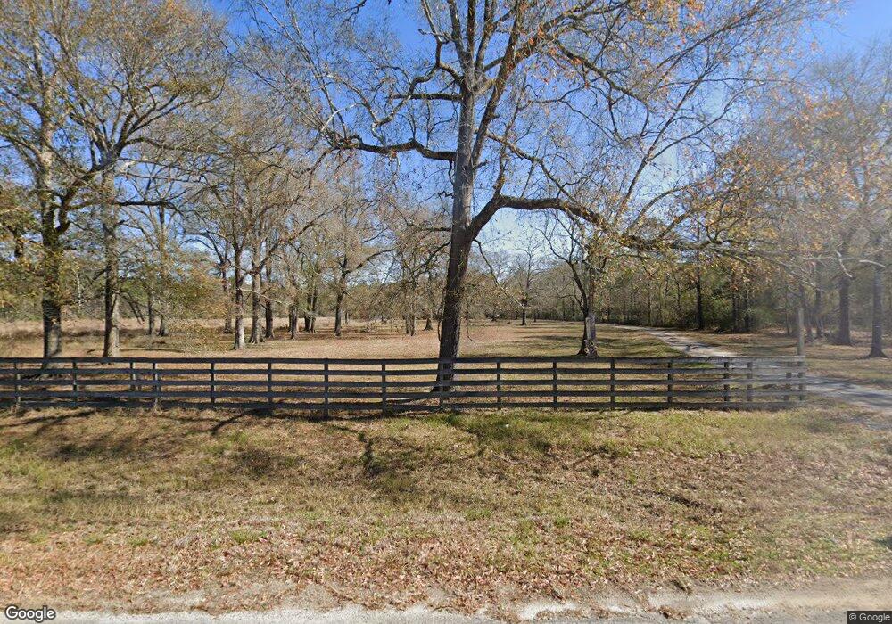
This home is located at 860 Doty Rd, Vidor, TX 77662 and is currently estimated at $463,690, approximately $116 per square foot. 860 Doty Rd is a home located in Orange County.
Ownership History
Date
Name
Owned For
Owner Type
Purchase Details
Closed on
Jul 22, 2021
Sold by
Polk John S and Polk Robin D
Bought by
Tindall Jason V and Tindall Stephany
Current Estimated Value
Home Financials for this Owner
Home Financials are based on the most recent Mortgage that was taken out on this home.
Original Mortgage
$350,000
Outstanding Balance
$317,177
Interest Rate
2.96%
Mortgage Type
New Conventional
Estimated Equity
$146,513
Purchase Details
Closed on
Apr 19, 2018
Sold by
Johnna Isbell Plunk
Bought by
Polk John and Polk Robin
Home Financials for this Owner
Home Financials are based on the most recent Mortgage that was taken out on this home.
Original Mortgage
$225,000
Interest Rate
4.47%
Purchase Details
Closed on
Jun 24, 2001
Sold by
Unknown Seller
Bought by
Polk John S
Purchase Details
Closed on
May 21, 1986
Sold by
Unknown Seller
Bought by
Polk John S
Purchase Details
Closed on
Aug 1, 1977
Sold by
Unknown Seller
Bought by
Polk John S
Create a Home Valuation Report for This Property
The Home Valuation Report is an in-depth analysis detailing your home's value as well as a comparison with similar homes in the area
Home Values in the Area
Average Home Value in this Area
Purchase History
| Date | Buyer | Sale Price | Title Company |
|---|---|---|---|
| Tindall Jason V | -- | Stewart Title Company | |
| Polk John | -- | -- | |
| Polk John S | -- | -- | |
| Polk John S | -- | -- | |
| Polk John S | -- | -- |
Source: Public Records
Mortgage History
| Date | Status | Borrower | Loan Amount |
|---|---|---|---|
| Open | Tindall Jason V | $350,000 | |
| Previous Owner | Polk John | $225,000 | |
| Previous Owner | Polk John | -- |
Source: Public Records
Tax History Compared to Growth
Tax History
| Year | Tax Paid | Tax Assessment Tax Assessment Total Assessment is a certain percentage of the fair market value that is determined by local assessors to be the total taxable value of land and additions on the property. | Land | Improvement |
|---|---|---|---|---|
| 2025 | $6,656 | $430,136 | $23,940 | $406,196 |
| 2024 | $4,550 | $429,956 | $23,760 | $406,196 |
| 2023 | $5,843 | $374,126 | $27,137 | $346,989 |
| 2022 | $7,009 | $393,080 | $67,500 | $325,580 |
| 2021 | $5,623 | $302,320 | $5,500 | $296,820 |
| 2020 | $5,437 | $283,690 | $5,500 | $278,190 |
| 2019 | $5,207 | $269,360 | $5,500 | $263,860 |
| 2018 | $4,583 | $293,400 | $5,500 | $287,900 |
| 2017 | $4,583 | $293,400 | $5,500 | $287,900 |
| 2016 | $5,196 | $272,110 | $5,500 | $266,610 |
| 2015 | $2,565 | $257,146 | $5,500 | $251,646 |
| 2014 | $2,565 | $165,690 | $5,500 | $160,190 |
Source: Public Records
Map
Nearby Homes
- 559 Doty Rd
- 0 Fm 1132 Unit 93970706
- 15660 Interstate 10
- 3665 E Railroad St
- 15600 Interstate 10
- 15600 Interstate 10
- 4560 Townsend Dr
- 220 Delores St
- 120 Lawrence Ln
- 0 Texas 12
- 950 Millie St
- 0 Highway 12 Linscomb Rd Unit 24059808
- 975 Roberts Rd
- 3455 Michelle Ave
- 230 Christel
- 425 Lawrence Ln
- 1080 Scott Dr
- 0 Edgewood
- 2890 Evangeline Dr
- 305 Oakland Dr