860 Mayfield Rd Alpharetta, GA 30009
Estimated Value: $1,495,000 - $3,099,000
2
Beds
1
Bath
1,174
Sq Ft
$2,152/Sq Ft
Est. Value
About This Home
This home is located at 860 Mayfield Rd, Alpharetta, GA 30009 and is currently estimated at $2,526,000, approximately $2,151 per square foot. 860 Mayfield Rd is a home located in Fulton County with nearby schools including Crabapple Crossing Elementary School, Northwestern Middle School, and Milton High School.
Ownership History
Date
Name
Owned For
Owner Type
Purchase Details
Closed on
May 23, 2022
Sold by
Crabapple Gateway Llc
Bought by
Milton Crabapple Pkwy Partners Llc
Current Estimated Value
Purchase Details
Closed on
Sep 15, 2020
Sold by
Taylor Morrison Of Georigia Llc
Bought by
Crabapple Gateway Llc
Purchase Details
Closed on
May 29, 2018
Sold by
860 Mayfield Road Llc
Bought by
Taylor Morrison Of Georgia Llc
Purchase Details
Closed on
Sep 11, 2003
Sold by
Nix William C
Bought by
860 Mayfield Road Llc
Home Financials for this Owner
Home Financials are based on the most recent Mortgage that was taken out on this home.
Original Mortgage
$165,000
Interest Rate
6.33%
Mortgage Type
Purchase Money Mortgage
Create a Home Valuation Report for This Property
The Home Valuation Report is an in-depth analysis detailing your home's value as well as a comparison with similar homes in the area
Home Values in the Area
Average Home Value in this Area
Purchase History
| Date | Buyer | Sale Price | Title Company |
|---|---|---|---|
| Milton Crabapple Pkwy Partners Llc | $2,500,000 | -- | |
| Milton Crabapple Pkwy Partners Llc | -- | -- | |
| Crabapple Gateway Llc | $530,000 | -- | |
| Taylor Morrison Of Georgia Llc | -- | -- | |
| Taylor Morrison Of Georgia Llc | $204,880 | -- | |
| 860 Mayfield Road Llc | $175,000 | -- |
Source: Public Records
Mortgage History
| Date | Status | Borrower | Loan Amount |
|---|---|---|---|
| Previous Owner | 860 Mayfield Road Llc | $165,000 |
Source: Public Records
Tax History Compared to Growth
Tax History
| Year | Tax Paid | Tax Assessment Tax Assessment Total Assessment is a certain percentage of the fair market value that is determined by local assessors to be the total taxable value of land and additions on the property. | Land | Improvement |
|---|---|---|---|---|
| 2025 | $294 | $72,880 | $72,880 | -- |
| 2023 | $294 | $72,880 | $72,880 | $0 |
| 2022 | $1,917 | $72,880 | $72,880 | $0 |
| 2021 | $735 | $27,080 | $27,080 | $0 |
| 2020 | $638 | $22,960 | $22,960 | $0 |
| 2019 | $511 | $96,000 | $96,000 | $0 |
| 2018 | $3,174 | $112,440 | $89,840 | $22,600 |
| 2017 | $2,359 | $80,840 | $58,120 | $22,720 |
| 2016 | $2,359 | $80,840 | $58,120 | $22,720 |
| 2015 | $2,751 | $80,840 | $58,120 | $22,720 |
| 2014 | $2,478 | $80,840 | $58,120 | $22,720 |
Source: Public Records
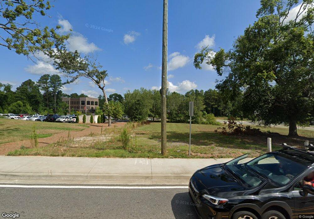
Map
Nearby Homes
- 2200 Cortland Rd
- 12575 Broadwell Rd
- 12474 Broadwell Rd
- 1950 Heritage Walk
- 1065 Mid Broadwell Rd
- 12455 Broadwell Rd Unit 201
- 12455 Broadwell Rd Unit 202
- 7412 Mid Broadwell Trace
- 7411 Mid Broadwell Trace
- 1020 Cathedral Dr
- 507 Branyan Trail
- 145 Pruitt Dr
- 5065 Jonquilla Dr
- 12350 Charlotte Dr
- 12455 Pindell Cir
- 13039 Freemanville Rd
- 850 Mayfield Rd
- 870 Mayfield Rd
- 3818 Heritage Walk
- 3818 Heritage Walk Unit 61
- 3814 Heritage Walk Unit 60
- 3822 Heritage Walk Unit 62
- 3826 Heritage Walk Unit 63
- 3806 Heritage Walk
- 3806 Heritage Walk Unit 58
- 3802 Heritage Walk Unit 57
- 3802 Heritage Walk
- 2001 Cortland Rd
- 2001 Cortland Rd Unit 56
- 2005 Cortland Rd
- 2005 Cortland Rd Unit 55
- 884 Mayfield Rd
- 880 Mayfield Rd Unit 64
- 884 Mayfield Rd Unit 65
- 835 Mayfield Rd
- 840 Mayfield Rd