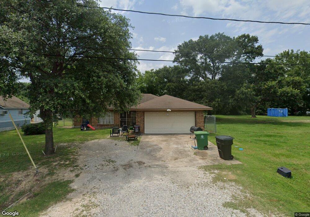
860 Ringold St Houston, TX 77088
Acres Homes NeighborhoodEstimated Value: $186,000 - $240,000
3
Beds
2
Baths
1,734
Sq Ft
$125/Sq Ft
Est. Value
About This Home
This home is located at 860 Ringold St, Houston, TX 77088 and is currently estimated at $217,353, approximately $125 per square foot. 860 Ringold St is a home located in Harris County with nearby schools including Osborne Elementary School, Williams Middle, and Booker T Washington Sr High.
Ownership History
Date
Name
Owned For
Owner Type
Purchase Details
Closed on
Dec 9, 1999
Sold by
Williams C and Williams L
Bought by
Smith Bereatha
Current Estimated Value
Purchase Details
Closed on
Sep 8, 1995
Sold by
Smith Floyd P and Smith Geneva E
Bought by
Smith Cynthia E
Home Financials for this Owner
Home Financials are based on the most recent Mortgage that was taken out on this home.
Original Mortgage
$29,000
Interest Rate
7.77%
Mortgage Type
Seller Take Back
Create a Home Valuation Report for This Property
The Home Valuation Report is an in-depth analysis detailing your home's value as well as a comparison with similar homes in the area
Home Values in the Area
Average Home Value in this Area
Purchase History
| Date | Buyer | Sale Price | Title Company |
|---|---|---|---|
| Smith Bereatha | -- | -- | |
| Smith Cynthia E | -- | -- |
Source: Public Records
Mortgage History
| Date | Status | Borrower | Loan Amount |
|---|---|---|---|
| Previous Owner | Smith Cynthia E | $29,000 |
Source: Public Records
Tax History Compared to Growth
Tax History
| Year | Tax Paid | Tax Assessment Tax Assessment Total Assessment is a certain percentage of the fair market value that is determined by local assessors to be the total taxable value of land and additions on the property. | Land | Improvement |
|---|---|---|---|---|
| 2025 | $1,586 | $152,592 | $77,336 | $75,256 |
| 2024 | $1,586 | $146,377 | $77,336 | $69,041 |
| 2023 | $1,586 | $147,816 | $77,336 | $70,480 |
| 2022 | $2,843 | $140,368 | $60,360 | $80,008 |
| 2021 | $2,736 | $117,395 | $39,611 | $77,784 |
| 2020 | $2,599 | $110,300 | $33,953 | $76,347 |
| 2019 | $2,469 | $106,527 | $30,180 | $76,347 |
| 2018 | $1,503 | $91,026 | $17,753 | $73,273 |
| 2017 | $2,039 | $80,646 | $11,835 | $68,811 |
| 2016 | $1,979 | $80,646 | $11,835 | $68,811 |
| 2015 | $1,291 | $71,154 | $11,835 | $59,319 |
| 2014 | $1,291 | $71,154 | $11,835 | $59,319 |
Source: Public Records
Map
Nearby Homes
- 830 Ringold St
- 958 Ringold St
- 961 Ringold St
- 8310 Williamsdell St
- 8320 Williamsdell St
- 8322 Williamsdell St
- 8324 Williamsdell St
- 882 Fortune St
- 954A Junell St
- 854 Junell St
- 8314 De Priest St
- 906 Fortune St
- 813 Fortune St
- 911 Fortune St
- 882 Prosper St
- 884 Prosper St
- 829 Fair St
- 905 Ferguson Way
- 907 Ferguson Way
- 0 Prosper St
- 864 Ringold St
- 862 Ringold St
- 868 Ringold St
- 840 Ringold St
- 857 Ringold St
- 849 Ringold St
- 841 Ringold
- 863 Ringold St
- 853 Ringold St
- 845 Ringold St
- 838 Ringold St
- 8010 De Priest St
- 8106 De Priest St
- 867 Ringold St
- 850 Enterprise St
- 0 Williamsdell St
- 960 Ringold St
- 861 Ringold St
- 00 Ringold St
- 914 Saint Clair St