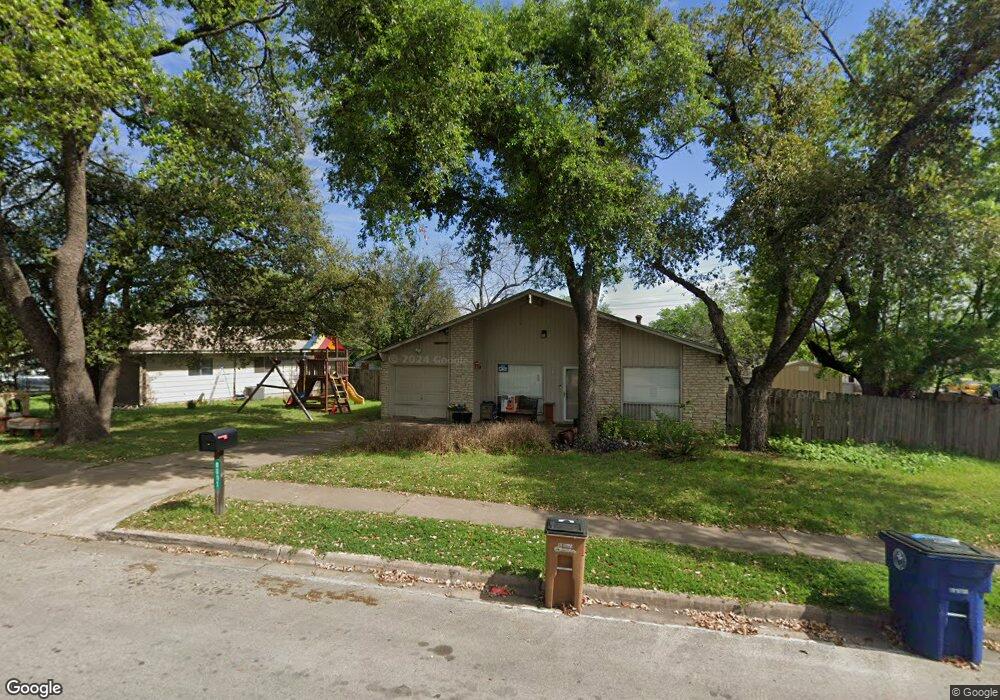
8601 Bridgeport Dr Austin, TX 78758
North Austin NeighborhoodEstimated Value: $323,208 - $376,000
--
Bed
1
Bath
1,062
Sq Ft
$334/Sq Ft
Est. Value
About This Home
This home is located at 8601 Bridgeport Dr, Austin, TX 78758 and is currently estimated at $354,552, approximately $333 per square foot. 8601 Bridgeport Dr is a home located in Travis County with nearby schools including Wooldridge Elementary School, Burnet Middle School, and Navarro Early College High School.
Ownership History
Date
Name
Owned For
Owner Type
Purchase Details
Closed on
May 1, 2015
Sold by
Hersh Emily R and Brenneman Ben
Bought by
Cavazos Janett
Current Estimated Value
Home Financials for this Owner
Home Financials are based on the most recent Mortgage that was taken out on this home.
Original Mortgage
$147,250
Outstanding Balance
$114,091
Interest Rate
3.84%
Mortgage Type
New Conventional
Estimated Equity
$240,461
Purchase Details
Closed on
Nov 15, 2006
Sold by
Selman Jan Knebal
Bought by
Hersh Emily R
Home Financials for this Owner
Home Financials are based on the most recent Mortgage that was taken out on this home.
Original Mortgage
$90,516
Interest Rate
6.26%
Mortgage Type
Purchase Money Mortgage
Create a Home Valuation Report for This Property
The Home Valuation Report is an in-depth analysis detailing your home's value as well as a comparison with similar homes in the area
Home Values in the Area
Average Home Value in this Area
Purchase History
| Date | Buyer | Sale Price | Title Company |
|---|---|---|---|
| Cavazos Janett | -- | Itc | |
| Hersh Emily R | -- | Fidelity National Title Ins |
Source: Public Records
Mortgage History
| Date | Status | Borrower | Loan Amount |
|---|---|---|---|
| Open | Cavazos Janett | $147,250 | |
| Previous Owner | Hersh Emily R | $90,516 |
Source: Public Records
Tax History Compared to Growth
Tax History
| Year | Tax Paid | Tax Assessment Tax Assessment Total Assessment is a certain percentage of the fair market value that is determined by local assessors to be the total taxable value of land and additions on the property. | Land | Improvement |
|---|---|---|---|---|
| 2025 | $5,212 | $349,715 | $210,840 | $138,875 |
| 2023 | $4,253 | $312,224 | $0 | $0 |
| 2022 | $5,606 | $283,840 | $0 | $0 |
| 2021 | $5,617 | $258,036 | $125,000 | $163,777 |
| 2020 | $5,031 | $234,578 | $125,000 | $113,803 |
| 2018 | $4,292 | $193,866 | $125,000 | $107,550 |
| 2017 | $4,234 | $189,835 | $75,000 | $114,835 |
| 2016 | $3,573 | $160,220 | $60,000 | $100,220 |
| 2015 | $2,446 | $126,804 | $20,000 | $106,804 |
| 2014 | $2,446 | $116,365 | $20,000 | $96,365 |
Source: Public Records
Map
Nearby Homes
- 1107 Chesapeake Dr
- 504 W Elliott St
- 8520 Bradford Dr
- 503 San Jose St
- 8909 Laurel Grove Dr
- 111 Little Walnut Dr Unit 1
- 8424 Jamestown Dr
- 106 Walnut Dr E
- 9100 Shepard Dr
- 107 Little Walnut Dr Unit 1
- 9010 Laurel Grove Dr
- 8507 Georgian Dr
- 9104 Glenn Ln
- 9007 Quail Valley Dr
- 105 E Walnut Dr
- 300 Pecan Dr
- 304 Oak Plaza
- 8906 Parkfield Dr Unit C
- 8400 Jamestown Dr Unit 536
- 8400 Jamestown Dr Unit 410
- 8603 Bridgeport Dr
- 8605 Bridgeport Dr
- 8600 Bridgeport Dr
- 903 Fairfield Dr
- 8602 Bridgeport Dr
- 8607 Bridgeport Dr
- 8604 Bridgeport Dr
- 905 Fairfield Dr
- 8601 Delaware Ct
- 824 Fairfield Dr
- 8606 Bridgeport Dr
- 8701 Bridgeport Dr
- 907 Fairfield Dr
- 8603 Delaware Ct
- 903 Connecticut Dr
- 905 Connecticut Dr
- 907 Connecticut Dr
- 822 Fairfield Dr
- 8703 Bridgeport Dr
- 8600 Delaware Ct