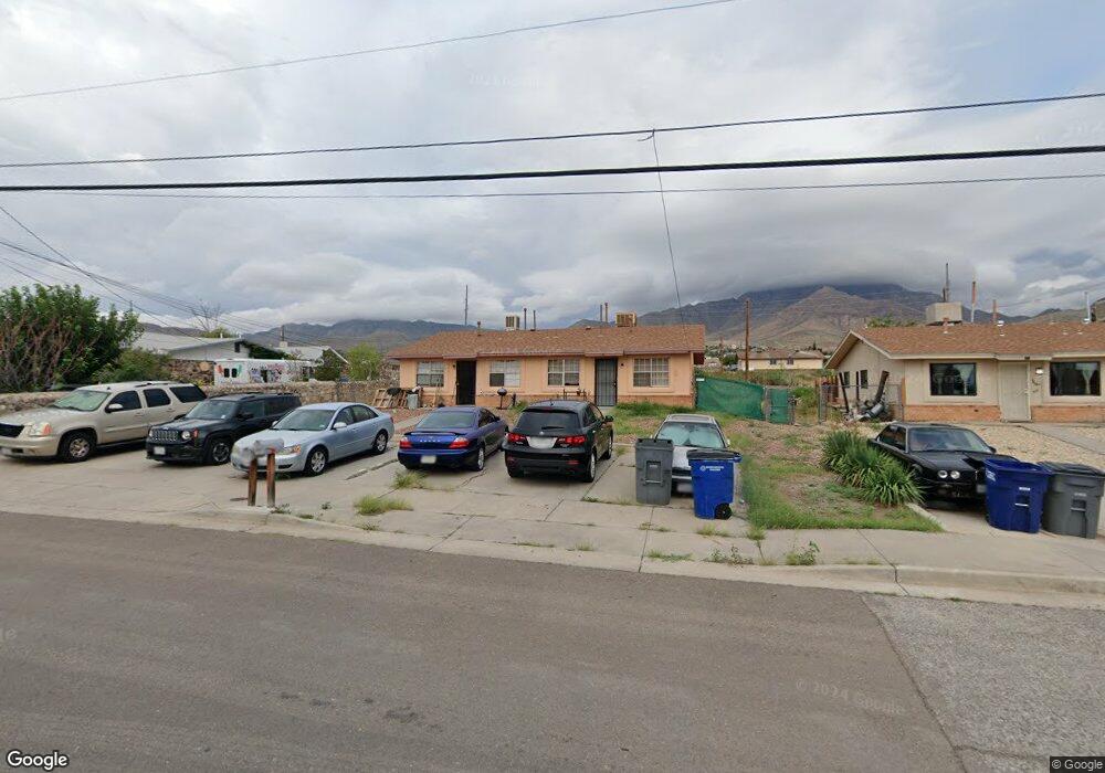
8601 Mercury St Unit A&B El Paso, TX 79904
Sunrise Acres NeighborhoodEstimated Value: $179,000 - $249,000
--
Bed
2
Baths
1,628
Sq Ft
$123/Sq Ft
Est. Value
About This Home
This home is located at 8601 Mercury St Unit A&B, El Paso, TX 79904 and is currently estimated at $200,060, approximately $122 per square foot. 8601 Mercury St Unit A&B is a home located in El Paso County with nearby schools including Park Elementary School, Canyon Hills Middle School, and Chapin High School.
Ownership History
Date
Name
Owned For
Owner Type
Purchase Details
Closed on
Oct 17, 2022
Sold by
Kaplan Abraham
Bought by
Pickren Llc
Current Estimated Value
Purchase Details
Closed on
Jun 23, 2009
Sold by
Hernandez Daniel and Hernandez Laura
Bought by
Smith Emerson and Smith Deborah A
Home Financials for this Owner
Home Financials are based on the most recent Mortgage that was taken out on this home.
Original Mortgage
$74,550
Interest Rate
4.83%
Mortgage Type
Purchase Money Mortgage
Create a Home Valuation Report for This Property
The Home Valuation Report is an in-depth analysis detailing your home's value as well as a comparison with similar homes in the area
Home Values in the Area
Average Home Value in this Area
Purchase History
| Date | Buyer | Sale Price | Title Company |
|---|---|---|---|
| Pickren Llc | -- | Lawyers Title | |
| Smith Emerson | -- | None Available |
Source: Public Records
Mortgage History
| Date | Status | Borrower | Loan Amount |
|---|---|---|---|
| Previous Owner | Smith Emerson | $74,550 |
Source: Public Records
Tax History Compared to Growth
Tax History
| Year | Tax Paid | Tax Assessment Tax Assessment Total Assessment is a certain percentage of the fair market value that is determined by local assessors to be the total taxable value of land and additions on the property. | Land | Improvement |
|---|---|---|---|---|
| 2025 | $5,036 | $208,044 | $32,728 | $175,316 |
| 2024 | $5,036 | $194,018 | $32,728 | $161,290 |
| 2023 | $5,019 | $181,422 | $20,328 | $161,094 |
| 2022 | $4,495 | $151,844 | $20,328 | $131,516 |
| 2021 | $4,126 | $132,144 | $20,328 | $111,816 |
| 2020 | $3,074 | $100,012 | $20,328 | $79,684 |
| 2018 | $2,960 | $100,012 | $20,328 | $79,684 |
| 2017 | $2,773 | $98,450 | $20,328 | $78,122 |
| 2016 | $2,773 | $98,450 | $20,328 | $78,122 |
| 2015 | $2,694 | $98,450 | $20,328 | $78,122 |
| 2014 | $2,694 | $98,450 | $20,328 | $78,122 |
Source: Public Records
Map
Nearby Homes
- 3821 Quill Ct
- 8515 Polaris St
- 4936 Titanic Ave
- 3819 Titanic Ave
- 103 Lawson Ave
- 3804 Titanic Ave
- 8715 Lawson St
- 8636 Lawson St
- 8825 Polaris St
- 3705 Volcanic Ave
- 4500 Arlen Ave
- 8440 Dyer St
- 4513 Hercules Ave
- 3509 Beryl Ln
- 3405 Sirius Ave
- 8845 Lawson St
- 8920 Kenneth St
- 3317 Zircon Dr
- 3312 Diamond Dr
- 3405 Volcanic Ave
- 8601 Mercury St Unit A
- 8605 Mercury St Unit 2
- 8605 Mercury St
- 8515 Mercury St
- 4101 Tradewind Ct
- 8609 Mercury St Unit AB
- 8609 Mercury St Unit A
- 8513 Mercury St
- 4100 Tradewind Ct
- 4105 Tradewind Ct
- 4104 Tradewind Ct
- 4100 Snowflake Ct
- 8511 Mercury St
- 8511 Mercury St Unit Rear
- 8511 Mercury St Unit B
- 8511 Mercury St Unit B2,C1,D2
- 4109 Tradewind Ct
- 4104 Snowflake Ct
- 4108 Tradewind Ct
- 8412 Mercury St