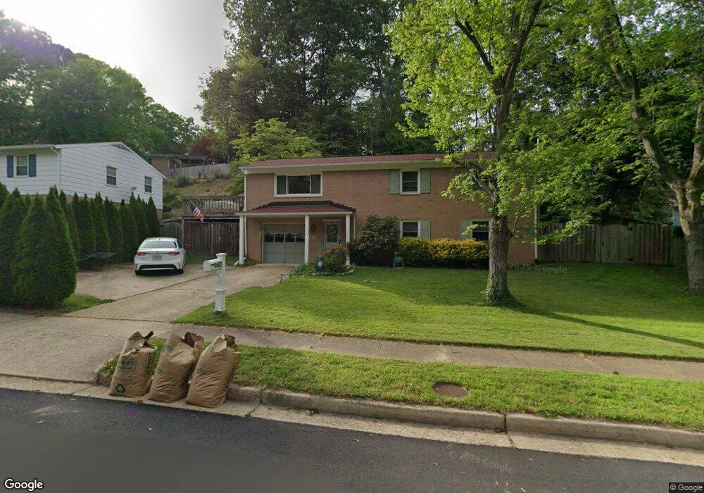
8602 Langport Dr Springfield, VA 22152
Estimated Value: $669,000 - $793,000
3
Beds
3
Baths
1,150
Sq Ft
$639/Sq Ft
Est. Value
About This Home
This home is located at 8602 Langport Dr, Springfield, VA 22152 and is currently estimated at $735,131, approximately $639 per square foot. 8602 Langport Dr is a home located in Fairfax County with nearby schools including Hunt Valley Elementary School, Irving Middle School, and West Springfield High School.
Ownership History
Date
Name
Owned For
Owner Type
Purchase Details
Closed on
Jun 24, 2021
Sold by
Wood Douglas I and Layman Wood January
Bought by
Wood Douglas Ian and Layman Wood January
Current Estimated Value
Purchase Details
Closed on
Dec 19, 2000
Sold by
Jenkins Charles A
Bought by
Wood Douglas
Home Financials for this Owner
Home Financials are based on the most recent Mortgage that was taken out on this home.
Original Mortgage
$187,200
Interest Rate
7.71%
Create a Home Valuation Report for This Property
The Home Valuation Report is an in-depth analysis detailing your home's value as well as a comparison with similar homes in the area
Home Values in the Area
Average Home Value in this Area
Purchase History
| Date | Buyer | Sale Price | Title Company |
|---|---|---|---|
| Wood Douglas Ian | -- | None Available | |
| Wood Douglas | $234,000 | -- |
Source: Public Records
Mortgage History
| Date | Status | Borrower | Loan Amount |
|---|---|---|---|
| Previous Owner | Wood Douglas | $187,200 |
Source: Public Records
Tax History Compared to Growth
Tax History
| Year | Tax Paid | Tax Assessment Tax Assessment Total Assessment is a certain percentage of the fair market value that is determined by local assessors to be the total taxable value of land and additions on the property. | Land | Improvement |
|---|---|---|---|---|
| 2025 | $7,598 | $727,200 | $256,000 | $471,200 |
| 2024 | $7,598 | $655,860 | $226,000 | $429,860 |
| 2023 | $7,116 | $630,590 | $226,000 | $404,590 |
| 2022 | $6,996 | $611,780 | $216,000 | $395,780 |
| 2021 | $6,294 | $536,380 | $191,000 | $345,380 |
| 2020 | $6,011 | $507,890 | $186,000 | $321,890 |
| 2019 | $5,864 | $495,510 | $186,000 | $309,510 |
| 2018 | $5,634 | $489,900 | $186,000 | $303,900 |
| 2017 | $5,463 | $470,520 | $181,000 | $289,520 |
| 2016 | $5,136 | $443,320 | $171,000 | $272,320 |
| 2015 | $4,904 | $439,420 | $171,000 | $268,420 |
| 2014 | $4,720 | $423,870 | $166,000 | $257,870 |
Source: Public Records
Map
Nearby Homes
- 8518 Fairburn Dr
- 8701 Etta Dr
- 6801 Houndmaster Rd
- 7103 Galgate Dr
- 7105 Galgate Dr
- 6613 Holford Ln
- 8710 Whitson Ct
- 8812 Skyron Place
- 7116 Hadlow Ct
- 6710 Red Jacket Rd
- 6907 Barnack Dr
- 6606 Huntsman Blvd
- 6614 Grey Fox Dr
- 6410 Wyngate Dr
- 6901 Huntsman Blvd
- 6903 Spelman Dr
- 6500 Rivington Rd
- 7222 Willow Oak Place
- 6403 Velliety Ln
- 7267 Olde Lantern Way
- 8604 Langport Dr
- 6810 Gillings Rd
- 6806 Gillings Rd
- 8606 Langport Dr
- 8613 Kerry Ln
- 8603 Langport Dr
- 8605 Langport Dr
- 8621 Kerry Ln
- 6814 Gillings Rd
- 6804 Gillings Rd
- 8607 Langport Dr
- 8608 Langport Dr
- 8619 Kerry Ln
- 6811 Gillings Rd
- 6809 Gillings Rd
- 8609 Langport Dr
- 6807 Gillings Rd
- 8522 Kentford Dr
- 6907 Dawley Ct
- 8524 Kentford Dr