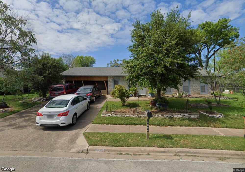
8604 Bridgeport Dr Austin, TX 78758
North Austin NeighborhoodEstimated Value: $335,000 - $391,000
--
Bed
2
Baths
1,138
Sq Ft
$316/Sq Ft
Est. Value
About This Home
This home is located at 8604 Bridgeport Dr, Austin, TX 78758 and is currently estimated at $359,594, approximately $315 per square foot. 8604 Bridgeport Dr is a home located in Travis County with nearby schools including Wooldridge Elementary School, Burnet Middle School, and Navarro Early College High School.
Ownership History
Date
Name
Owned For
Owner Type
Purchase Details
Closed on
Feb 18, 1998
Sold by
Oneal K Kirk and Oneal Sherye S
Bought by
Gonzalez Saturnino A and Gonzalez Elizabeth
Current Estimated Value
Home Financials for this Owner
Home Financials are based on the most recent Mortgage that was taken out on this home.
Original Mortgage
$71,114
Outstanding Balance
$12,735
Interest Rate
7.13%
Mortgage Type
FHA
Estimated Equity
$346,859
Purchase Details
Closed on
Jul 4, 1996
Sold by
Wilson Michael W
Bought by
Oneal K Kirk
Create a Home Valuation Report for This Property
The Home Valuation Report is an in-depth analysis detailing your home's value as well as a comparison with similar homes in the area
Home Values in the Area
Average Home Value in this Area
Purchase History
| Date | Buyer | Sale Price | Title Company |
|---|---|---|---|
| Gonzalez Saturnino A | -- | -- | |
| Oneal K Kirk | -- | -- |
Source: Public Records
Mortgage History
| Date | Status | Borrower | Loan Amount |
|---|---|---|---|
| Open | Gonzalez Saturnino A | $71,114 | |
| Closed | Gonzalez Saturnino A | $1,350 |
Source: Public Records
Tax History Compared to Growth
Tax History
| Year | Tax Paid | Tax Assessment Tax Assessment Total Assessment is a certain percentage of the fair market value that is determined by local assessors to be the total taxable value of land and additions on the property. | Land | Improvement |
|---|---|---|---|---|
| 2025 | $1,008 | $344,103 | -- | -- |
| 2023 | $933 | $284,383 | $0 | $0 |
| 2022 | $5,106 | $258,530 | $0 | $0 |
| 2021 | $5,116 | $235,027 | $125,000 | $174,524 |
| 2020 | $4,583 | $213,661 | $125,000 | $122,543 |
| 2018 | $3,909 | $176,579 | $125,000 | $113,309 |
| 2017 | $3,580 | $160,526 | $75,000 | $121,135 |
| 2016 | $3,255 | $145,933 | $60,000 | $105,718 |
| 2015 | $662 | $132,666 | $20,000 | $112,666 |
| 2014 | $662 | $121,653 | $20,000 | $101,653 |
Source: Public Records
Map
Nearby Homes
- 1107 Chesapeake Dr
- 504 W Elliott St
- 8520 Bradford Dr
- 8909 Laurel Grove Dr
- 503 San Jose St
- 9100 Shepard Dr
- 111 Little Walnut Dr Unit 1
- 9010 Laurel Grove Dr
- 9104 Glenn Ln
- 106 Walnut Dr E
- 8424 Jamestown Dr
- 9007 Quail Valley Dr
- 107 Little Walnut Dr Unit 1
- 8507 Georgian Dr
- 9303 Quail Field Dr
- 106 W Fawnridge Dr Unit 1
- 106 W Fawnridge Dr Unit 2
- 8906 Parkfield Dr Unit C
- 300 Pecan Dr
- 304 Oak Plaza
- 8602 Bridgeport Dr
- 905 Connecticut Dr
- 903 Connecticut Dr
- 8606 Bridgeport Dr
- 907 Connecticut Dr
- 8603 Bridgeport Dr
- 8600 Bridgeport Dr
- 909 Connecticut Dr
- 8605 Bridgeport Dr
- 8603 Delaware Ct
- 8601 Bridgeport Dr
- 8601 Delaware Ct
- 8607 Bridgeport Dr
- 911 Connecticut Dr
- 908 Connecticut Dr
- 906 Connecticut Dr
- 8605 Delaware Ct
- 8700 Bridgeport Dr
- 910 Connecticut Dr
- 904 Connecticut Dr