8604 Maplecrest Dr Mc Kean, PA 16426
Estimated Value: $314,569 - $332,000
4
Beds
3
Baths
1,888
Sq Ft
$173/Sq Ft
Est. Value
About This Home
This home is located at 8604 Maplecrest Dr, Mc Kean, PA 16426 and is currently estimated at $327,392, approximately $173 per square foot. 8604 Maplecrest Dr is a home located in Erie County with nearby schools including McKean Elementary School, James W. Parker Middle School, and General McLane High School.
Ownership History
Date
Name
Owned For
Owner Type
Purchase Details
Closed on
Mar 28, 2013
Sold by
Merchant Frank R and Merchant Betty J
Bought by
Kinnear Patrick R and Kinnear Michelle L
Current Estimated Value
Home Financials for this Owner
Home Financials are based on the most recent Mortgage that was taken out on this home.
Original Mortgage
$175,750
Outstanding Balance
$124,560
Interest Rate
3.56%
Mortgage Type
New Conventional
Estimated Equity
$202,832
Create a Home Valuation Report for This Property
The Home Valuation Report is an in-depth analysis detailing your home's value as well as a comparison with similar homes in the area
Home Values in the Area
Average Home Value in this Area
Purchase History
| Date | Buyer | Sale Price | Title Company |
|---|---|---|---|
| Kinnear Patrick R | $185,000 | None Available |
Source: Public Records
Mortgage History
| Date | Status | Borrower | Loan Amount |
|---|---|---|---|
| Open | Kinnear Patrick R | $175,750 |
Source: Public Records
Tax History Compared to Growth
Tax History
| Year | Tax Paid | Tax Assessment Tax Assessment Total Assessment is a certain percentage of the fair market value that is determined by local assessors to be the total taxable value of land and additions on the property. | Land | Improvement |
|---|---|---|---|---|
| 2025 | $3,740 | $164,270 | $29,700 | $134,570 |
| 2024 | $3,622 | $164,270 | $29,700 | $134,570 |
| 2023 | $3,409 | $164,270 | $29,700 | $134,570 |
| 2022 | $3,310 | $164,270 | $29,700 | $134,570 |
| 2021 | $3,267 | $164,270 | $29,700 | $134,570 |
| 2020 | $3,226 | $164,270 | $29,700 | $134,570 |
| 2019 | $3,205 | $164,270 | $29,700 | $134,570 |
| 2018 | $3,136 | $164,270 | $29,700 | $134,570 |
| 2017 | $3,136 | $164,270 | $29,700 | $134,570 |
| 2016 | $3,869 | $164,270 | $29,700 | $134,570 |
| 2015 | $3,827 | $164,270 | $29,700 | $134,570 |
| 2014 | $1,776 | $164,270 | $29,700 | $134,570 |
Source: Public Records
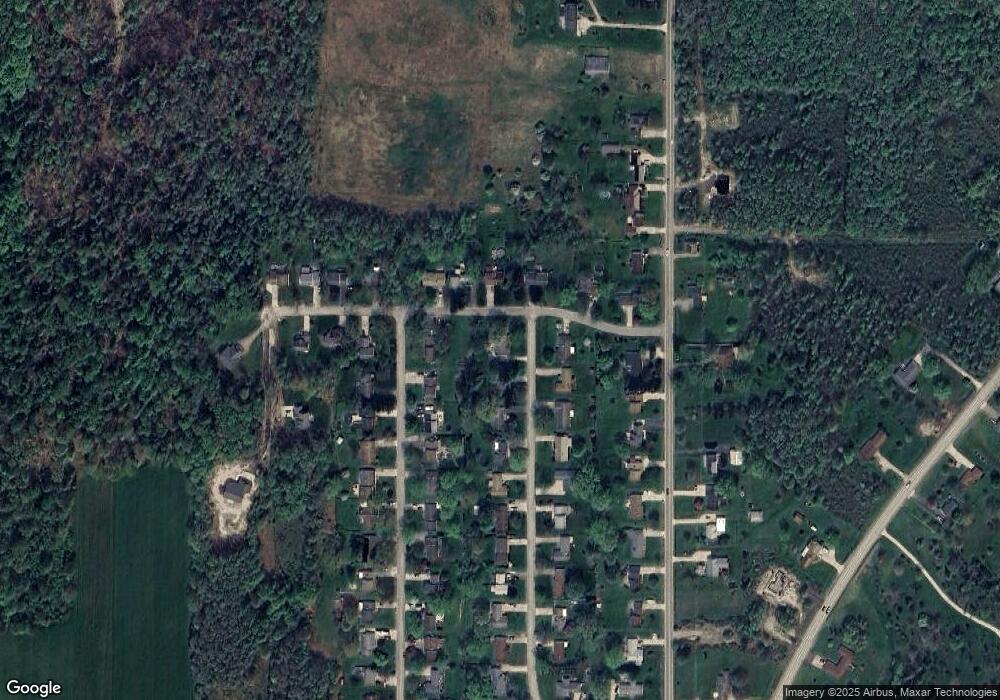
Map
Nearby Homes
- 4854 N Main St
- 0 Edinboro Rd Unit 182375
- 4954 East Ave
- 11897 Silverthorn (Tr 86 Rt T438) Rd
- 5115 West Rd
- 15 Woodside Dr
- 702 Skyline Dr
- 209 Timberlake Dr
- 8389 Edinboro Rd
- 29 Sharon Dr
- 6330 Rick Rd
- 8580 Rick Rd
- 6419 Sterrettania Rd
- 2880 Cardinal Dr Unit 34
- 0 Pagan Rd
- 2800 Sun Ridge Dr
- 6797 Sterrettania Rd
- 4385 Stone Creek Dr
- 4116 Stone Creek Dr
- 5472 Granite Ln
- 8616 Maplecrest Dr
- 0 Countryside Dr
- 8607 Mayfair Dr
- 8615 Mayfair Dr
- 8624 Maplecrest Dr
- 8605 Maplecrest Dr
- 5126 Countryside Dr
- 5158 Countryside Dr
- 8613 Maplecrest Dr
- 5072 Countryside Dr
- 8625 Mayfair Dr
- 5182 Countryside Dr
- 8621 Maplecrest Dr
- 8632 Maplecrest Dr
- 8631 Mayfair Dr
- 5048 Countryside Dr
- 8604 Mayfair Dr
- 8629 Maplecrest Dr
- 8606 Grubb Rd
- 8614 Mayfair Dr