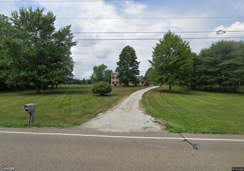
8605 Easton St Louisville, OH 44641
Estimated Value: $376,097 - $593,000
3
Beds
3
Baths
2,032
Sq Ft
$227/Sq Ft
Est. Value
About This Home
This home is located at 8605 Easton St, Louisville, OH 44641 and is currently estimated at $461,699, approximately $227 per square foot. 8605 Easton St is a home located in Stark County with nearby schools including Louisville High School and St. Thomas Aquinas High School & Middle School.
Ownership History
Date
Name
Owned For
Owner Type
Purchase Details
Closed on
May 18, 2022
Sold by
David Dewalt
Bought by
David C Dewalt And Dee Ann Dewalt Revocable T
Current Estimated Value
Purchase Details
Closed on
Feb 6, 1995
Sold by
Perez Richard L
Bought by
Dewalt David C
Purchase Details
Closed on
Sep 18, 1990
Purchase Details
Closed on
Jun 28, 1988
Create a Home Valuation Report for This Property
The Home Valuation Report is an in-depth analysis detailing your home's value as well as a comparison with similar homes in the area
Home Values in the Area
Average Home Value in this Area
Purchase History
| Date | Buyer | Sale Price | Title Company |
|---|---|---|---|
| David C Dewalt And Dee Ann Dewalt Revocable T | -- | Mcdonnell Laurie A | |
| Dewalt David C | $23,500 | -- | |
| -- | $18,500 | -- | |
| -- | $13,800 | -- |
Source: Public Records
Tax History Compared to Growth
Tax History
| Year | Tax Paid | Tax Assessment Tax Assessment Total Assessment is a certain percentage of the fair market value that is determined by local assessors to be the total taxable value of land and additions on the property. | Land | Improvement |
|---|---|---|---|---|
| 2025 | -- | $113,400 | $37,800 | $75,600 |
| 2024 | -- | $113,400 | $37,800 | $75,600 |
| 2023 | $4,133 | $84,570 | $26,990 | $57,580 |
| 2022 | $4,141 | $84,570 | $26,990 | $57,580 |
| 2021 | $4,153 | $84,570 | $26,990 | $57,580 |
| 2020 | $3,387 | $72,840 | $23,140 | $49,700 |
| 2019 | $3,401 | $72,840 | $23,140 | $49,700 |
| 2018 | $3,390 | $72,840 | $23,140 | $49,700 |
| 2017 | $3,097 | $63,510 | $20,100 | $43,410 |
| 2016 | $3,028 | $63,510 | $20,100 | $43,410 |
| 2015 | $2,928 | $61,300 | $20,100 | $41,200 |
| 2014 | $915 | $56,460 | $18,480 | $37,980 |
| 2013 | $1,461 | $56,460 | $18,480 | $37,980 |
Source: Public Records
Map
Nearby Homes
- 6052 N Nickelplate St
- 7844 Morningstar Dr
- 5495 Meese Rd NE
- 5765 Maplegrove St
- 5474 Ravenna Ave
- 316 E Reno Dr
- 910 Crosswyck Cir
- 1170 Winding Ridge Ave
- 3580 Brookridge Ave Lot 15
- 524 Glenbar St
- 0 Glenbar St
- 614 Reno Dr
- 428 Honeycrisp Dr NE
- 3047 Mcintosh Dr NE
- 432 Honeycrisp Dr NE
- 2962 Mcintosh Dr NE
- 2963 Mcintosh Dr NE
- 430 Honeycrisp Dr NE
- 2957 Mcintosh Dr NE
- 0 Brookridge Ave
- 8635 Easton St
- 8635 Easton St
- 8555 Easton St
- 8669 Easton St
- 8711 Easton St
- 6808 Schilling Ave
- 8666 Easton St
- 8717 Easton St
- 8710 Easton St
- 8730 Easton St
- 0 Easton St NE
- 8780 Easton St
- 8436 Easton St
- 6700 Schilling Ave
- 8818 Easton St
- 6650 Schilling Ave
- 6610 Schilling Ave
- 8943 Easton St
- 6575 Schilling Ave
- 6601 Schilling Ave