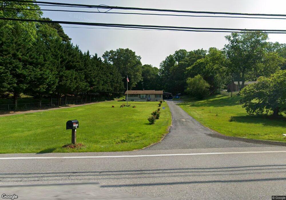
8606 Croom Rd Upper Marlboro, MD 20772
Croom NeighborhoodEstimated Value: $336,020 - $478,000
About This Home
This home is located at 8606 Croom Rd, Upper Marlboro, MD 20772 and is currently estimated at $424,755, approximately $442 per square foot. 8606 Croom Rd is a home located in Prince George's County with nearby schools including Mattaponi Elementary School, Gwynn Park Middle School, and Frederick Douglass High School.
Ownership History
We collect this data history from publicly available records. To have your information removed, we recommend requesting removal directly through your county’s website.
Purchase Details
Purchase Details
Home Values in the Area
Average Home Value in this Area
Purchase History
We collect this data history from publicly available records. To have your information removed, we recommend requesting removal directly through your county’s website.
| Date | Buyer | Sale Price | Title Company |
|---|---|---|---|
| -- | None Available | ||
| $47,000 | -- |
Tax History
We collect this data history from publicly available records. To have your information removed, we recommend requesting removal directly through your county’s website.
| Year | Tax Paid | Tax Assessment Tax Assessment Total Assessment is a certain percentage of the fair market value that is determined by local assessors to be the total taxable value of land and additions on the property. | Land | Improvement |
|---|---|---|---|---|
| 2025 | $3,185 | $361,900 | $216,300 | $145,600 |
| 2024 | $3,185 | $315,167 | -- | -- |
| 2023 | $3,021 | $268,433 | $0 | $0 |
| 2022 | $2,838 | $221,700 | $106,300 | $115,400 |
| 2021 | $2,740 | $217,367 | $0 | $0 |
| 2020 | $2,706 | $213,033 | $0 | $0 |
| 2019 | $2,656 | $208,700 | $103,100 | $105,600 |
| 2018 | $2,571 | $199,400 | $0 | $0 |
| 2017 | $2,500 | $190,100 | $0 | $0 |
| 2016 | -- | $180,800 | $0 | $0 |
| 2015 | $2,112 | $178,833 | $0 | $0 |
| 2014 | $2,112 | $176,867 | $0 | $0 |
Map
- 8610 Croom Rd
- 8404 Hollow Tree Ln
- 9124 Croom Rd
- 15000 Mount Calvert Rd
- 15201 Grey Fox Rd
- 9220 Croom Acres Terrace
- 0 Croom Airport Rd Unit MDPG2148084
- 9905 Croom Rd
- 8411 Thornberry Dr W
- 8915 Grandhaven Ave
- 8913 Grandhaven Ave
- 13006 Marlton Center Dr
- 13013 Trumbull Dr
- 12458 Old Colony Dr
- 10008 Thomas Brooke Place
- 12800 Center Park Way
- 12909 Barnwell Place
- 12471 Old Colony Dr
- 12836 Carousel Ct
- 12700 Marlton Center Dr
- 8602 Croom Rd
- 14400 Mount Calvert rd Spur
- 8508 Croom Rd
- 8408 Hollow Tree Ln
- 8409 Hollow Tree Ln
- 14620 Mount Calvert Rd
- 8406 Hollow Tree Ln
- 14608 Mount Calvert Rd
- 8504 Croom Rd
- 14600 Mount Calvert Rd
- 14401 Mount Calvert rd Spur
- 14607 Mount Calvert Rd
- 14515 Mount Calvert Rd
- 8510 Croom Rd
- 8502 Croom Rd
- 14611 Mount Calvert Rd
- 14501 Mount Calvert Rd
- 8405 Hollow Tree Ln
- 8400 Hollow Tree Ln
- 8401 Hollow Tree Ln
Ask me questions while you tour the home.