8606 Us Highway 150 Carlock, IL 61725
Estimated Value: $383,000 - $508,988
4
Beds
3
Baths
1,574
Sq Ft
$288/Sq Ft
Est. Value
About This Home
This home is located at 8606 Us Highway 150, Carlock, IL 61725 and is currently estimated at $452,663, approximately $287 per square foot. 8606 Us Highway 150 is a home with nearby schools including Carlock Elementary School, Parkside Junior High School, and Normal Community West High School.
Ownership History
Date
Name
Owned For
Owner Type
Purchase Details
Closed on
Jul 8, 2009
Sold by
Kobel Christopher K and Kobel Kori M
Bought by
Kobel Shawn and Kobel Victoria Stout
Current Estimated Value
Home Financials for this Owner
Home Financials are based on the most recent Mortgage that was taken out on this home.
Original Mortgage
$301,500
Interest Rate
3.25%
Purchase Details
Closed on
Jan 15, 2009
Sold by
Schlosser Isaac J and Schlosser Barbara P
Bought by
Kobel Christopher K and Kobel Kori M
Purchase Details
Closed on
Jul 14, 2008
Sold by
Schlosser Isaac J and Schlosser Barbara
Bought by
Kobel Christopher K and Kobel Kori M
Create a Home Valuation Report for This Property
The Home Valuation Report is an in-depth analysis detailing your home's value as well as a comparison with similar homes in the area
Home Values in the Area
Average Home Value in this Area
Purchase History
| Date | Buyer | Sale Price | Title Company |
|---|---|---|---|
| Kobel Shawn | $30,000 | First Community Title | |
| Kobel Christopher K | -- | None Available | |
| Kobel Christopher K | -- | None Available |
Source: Public Records
Mortgage History
| Date | Status | Borrower | Loan Amount |
|---|---|---|---|
| Closed | Kobel Shawn | $301,500 |
Source: Public Records
Tax History Compared to Growth
Tax History
| Year | Tax Paid | Tax Assessment Tax Assessment Total Assessment is a certain percentage of the fair market value that is determined by local assessors to be the total taxable value of land and additions on the property. | Land | Improvement |
|---|---|---|---|---|
| 2024 | $8,426 | $133,571 | $17,457 | $116,114 |
| 2022 | $8,426 | $114,079 | $14,297 | $99,782 |
| 2021 | $7,843 | $104,631 | $13,113 | $91,518 |
| 2020 | $7,659 | $97,572 | $12,752 | $84,820 |
| 2019 | $7,086 | $93,648 | $12,239 | $81,409 |
| 2018 | $7,158 | $92,547 | $12,095 | $80,452 |
| 2017 | $6,634 | $89,869 | $11,745 | $78,124 |
| 2016 | $6,626 | $89,869 | $11,745 | $78,124 |
| 2015 | $6,519 | $88,690 | $11,591 | $77,099 |
| 2014 | $6,042 | $88,690 | $11,591 | $77,099 |
| 2013 | -- | $91,226 | $11,922 | $79,304 |
Source: Public Records
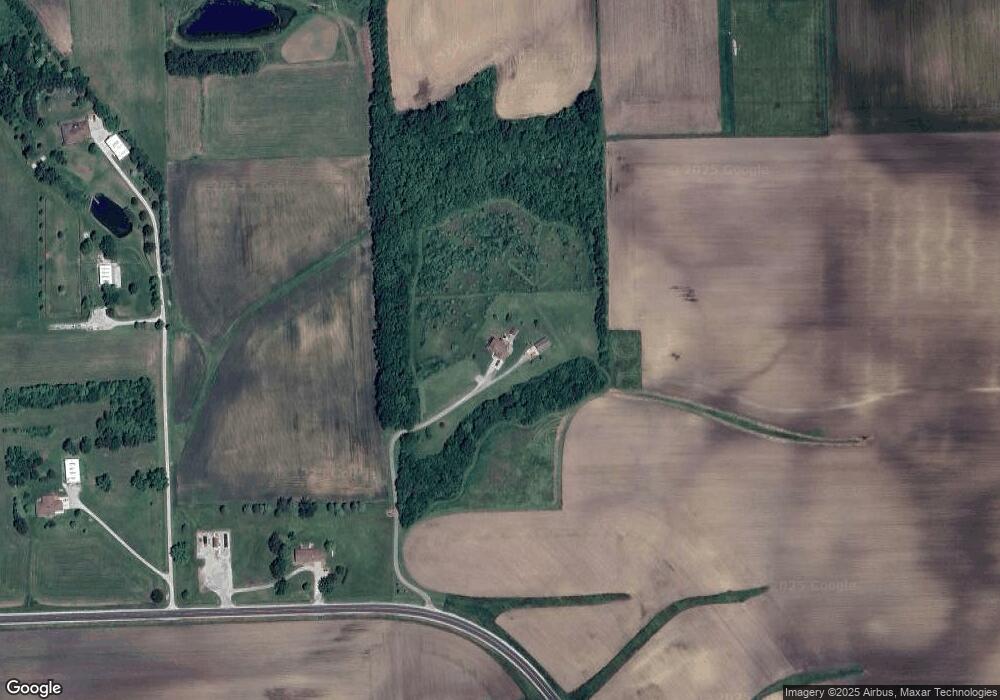
Map
Nearby Homes
- 4 Cobblestone Ave
- 4 Sandstone Ave
- 9 Boulder Dr
- 12 Boulder Dr
- 15 Boulder Dr
- 14 Boulder Dr
- 307 1/2 N Church St
- 203 W Franklin St
- 254 County Road 2500 E
- 297 MacAllen Lake Rd
- 209 N West St
- 114 W North St
- 2009 Marina Dr
- 1925 Marina Dr
- 1732 Millstone Dr
- 1725 Bluestone Dr
- 1718 Millstone Dr
- 1720 Millstone Dr
- 1721 Bluestone Dr
- 1710 Bluestone Dr
- 8540 Us Highway 150
- 8492 Us Highway 150
- 8490 Us Highway 150
- 8644 E 2100 Rd N
- 8644 E 2100 North Rd
- 8779 E 2100 North Rd
- 8704 Us Highway 150
- 8711 E 2100 North Rd
- 8621 E 2100 North Rd
- 8621 E 2100 North Rd
- 8621 E 2100 North Rd
- 8551 E 2100 North Rd
- 8990 E 2100 North Rd
- 9166 Us Highway 150
- 9166 Us Highway 150
- 20645 N 825 East Rd
- 9279 E 2100 North Rd
- 9372 E 2100 North Rd
- 8121 Us Highway 150
- 21107 N 825 East Rd