8607 W 9500 N Clarkston, UT 84305
Estimated Value: $442,000 - $674,000
--
Bed
--
Bath
2,760
Sq Ft
$205/Sq Ft
Est. Value
About This Home
This home is located at 8607 W 9500 N, Clarkston, UT 84305 and is currently estimated at $565,168, approximately $204 per square foot. 8607 W 9500 N is a home with nearby schools including Lewiston School, White Pine Middle School, and North Cache Middle School.
Ownership History
Date
Name
Owned For
Owner Type
Purchase Details
Closed on
May 1, 2009
Sold by
Dygert Daniel K
Bought by
Dygert Daniel K and Dygert Stephanie C
Current Estimated Value
Home Financials for this Owner
Home Financials are based on the most recent Mortgage that was taken out on this home.
Original Mortgage
$179,000
Outstanding Balance
$111,814
Interest Rate
4.8%
Mortgage Type
New Conventional
Estimated Equity
$453,354
Purchase Details
Closed on
Aug 7, 2002
Sold by
Dygert Daniel K
Bought by
Dygert Daniel K and Dygert Stephanie C
Home Financials for this Owner
Home Financials are based on the most recent Mortgage that was taken out on this home.
Original Mortgage
$189,060
Interest Rate
6.52%
Mortgage Type
VA
Create a Home Valuation Report for This Property
The Home Valuation Report is an in-depth analysis detailing your home's value as well as a comparison with similar homes in the area
Home Values in the Area
Average Home Value in this Area
Purchase History
| Date | Buyer | Sale Price | Title Company |
|---|---|---|---|
| Dygert Daniel K | -- | Hickman Land Title Company | |
| Dygert Daniel K | -- | Hickman Land Title Company | |
| Dygert Daniel K | -- | Hickman Land Title Company | |
| Dygert Daniel K | -- | Hickman Land Title Company |
Source: Public Records
Mortgage History
| Date | Status | Borrower | Loan Amount |
|---|---|---|---|
| Open | Dygert Daniel K | $179,000 | |
| Closed | Dygert Daniel K | $189,060 |
Source: Public Records
Tax History Compared to Growth
Tax History
| Year | Tax Paid | Tax Assessment Tax Assessment Total Assessment is a certain percentage of the fair market value that is determined by local assessors to be the total taxable value of land and additions on the property. | Land | Improvement |
|---|---|---|---|---|
| 2025 | $2,154 | $352,065 | $0 | $0 |
| 2024 | $1,941 | $293,645 | $0 | $0 |
| 2023 | $2,017 | $285,390 | $0 | $0 |
| 2022 | $2,111 | $285,390 | $0 | $0 |
| 2021 | $1,914 | $366,015 | $81,150 | $284,865 |
| 2020 | $1,725 | $306,320 | $81,150 | $225,170 |
| 2019 | $1,824 | $306,320 | $81,150 | $225,170 |
| 2018 | $1,713 | $276,950 | $81,150 | $195,800 |
| 2017 | $1,476 | $140,590 | $0 | $0 |
| 2016 | $1,494 | $140,590 | $0 | $0 |
| 2015 | $1,491 | $140,590 | $0 | $0 |
| 2014 | $1,445 | $140,590 | $0 | $0 |
| 2013 | -- | $140,590 | $0 | $0 |
Source: Public Records
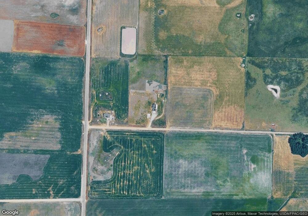
Map
Nearby Homes
- 102 E 200 S
- 177 W 100 S
- 13900 Dirty Head Rd
- 7300 W 8600 N
- 6350 W 9000 N
- 15 S 400 W
- 180 N 300 W
- 144 N 300 W Unit 13
- 141 N 300 W Unit 12
- 165 N 300 W Unit 11
- 172 N 300 W Unit 14
- 9000 N 6400 W
- 145 S 400 W
- 115 N 100 W Unit 23
- 312 W 200 N Unit 10
- 222 W 200 N Unit 18
- 165 W 200 N
- 136 W 200 N Unit 21
- 244 W 200 N Unit 17
- 260 W 200 N Unit 16