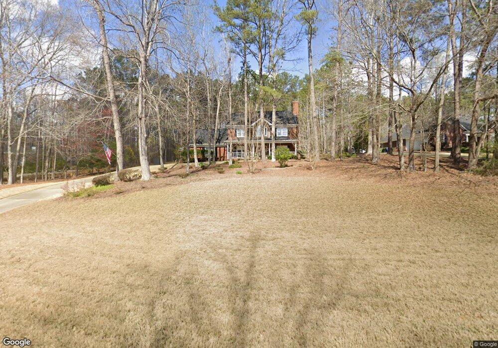
8608 Battery Dr Midland, GA 31820
Midland NeighborhoodEstimated Value: $382,600 - $490,000
4
Beds
3
Baths
2,508
Sq Ft
$169/Sq Ft
Est. Value
About This Home
This home is located at 8608 Battery Dr, Midland, GA 31820 and is currently estimated at $424,650, approximately $169 per square foot. 8608 Battery Dr is a home located in Muscogee County with nearby schools including Mathews Elementary School, Aaron Cohn Middle School, and Shaw High School.
Ownership History
Date
Name
Owned For
Owner Type
Purchase Details
Closed on
Sep 12, 2019
Sold by
Freeman Andrew
Bought by
Royer Justin Scott and Royer Brandy
Current Estimated Value
Home Financials for this Owner
Home Financials are based on the most recent Mortgage that was taken out on this home.
Original Mortgage
$294,405
Outstanding Balance
$257,876
Interest Rate
3.6%
Estimated Equity
$166,774
Create a Home Valuation Report for This Property
The Home Valuation Report is an in-depth analysis detailing your home's value as well as a comparison with similar homes in the area
Home Values in the Area
Average Home Value in this Area
Purchase History
| Date | Buyer | Sale Price | Title Company |
|---|---|---|---|
| Royer Justin Scott | $285,000 | -- |
Source: Public Records
Mortgage History
| Date | Status | Borrower | Loan Amount |
|---|---|---|---|
| Open | Royer Justin Scott | $294,405 |
Source: Public Records
Tax History Compared to Growth
Tax History
| Year | Tax Paid | Tax Assessment Tax Assessment Total Assessment is a certain percentage of the fair market value that is determined by local assessors to be the total taxable value of land and additions on the property. | Land | Improvement |
|---|---|---|---|---|
| 2025 | $462 | $139,204 | $23,292 | $115,912 |
| 2024 | $462 | $139,204 | $23,292 | $115,912 |
| 2023 | $4,651 | $139,204 | $23,292 | $115,912 |
| 2022 | $3,979 | $114,184 | $23,292 | $90,892 |
| 2021 | $3,901 | $111,940 | $23,292 | $88,648 |
| 2020 | $3,902 | $111,940 | $23,292 | $88,648 |
| 2019 | $3,003 | $111,940 | $23,292 | $88,648 |
| 2018 | $3,003 | $111,940 | $23,292 | $88,648 |
| 2017 | $3,015 | $111,940 | $23,292 | $88,648 |
| 2016 | $3,030 | $99,127 | $15,176 | $83,951 |
| 2015 | $3,034 | $99,127 | $15,176 | $83,951 |
| 2014 | $3,039 | $99,127 | $15,176 | $83,951 |
| 2013 | -- | $99,127 | $15,176 | $83,951 |
Source: Public Records
Map
Nearby Homes
- 8599 Freedom Trail
- 8485 Liberty Hall Dr
- 1022 Christmas Ct
- 10176 Sable Ct
- 70 Meadow Valley Ct
- 8016 Glen Valley Dr
- 10239 Sable Ct
- 7748 Coppice Dr
- 10273 Green Meadows Ct
- 10316 Emerson Way
- 51 Ironwood Ct
- 51 Ironwood Ct Unit 90
- 7988 Westlake Dr
- 8904 Lilly Rock Way
- 10315 Whisper Glen Dr
- 10304 Emerson Way
- 7343 Pine Chase Dr
- 7381 Pine Tar Dr
- 7333 Pine Chase Dr
- 1009 Crosswinds Dr
- 8614 Battery Dr
- 8604 Battery Dr
- 8600 Battery Dr
- 8605 Battery Dr
- 8659 Revere St
- 8609 Battery Dr
- 8665 Revere St
- 8639 Revere Ct
- 8645 Revere Ct
- 8615 Battery Dr
- 8671 Revere St
- 8633 Revere Ct
- 8621 Battery Dr
- 8627 Revere Ct
- 7 Minuteman Ct
- 8677 Revere St
- 8656 Revere St
- 8641 Battery Ct
- 8662 Revere St
- 9376 Pleasant Ridge Ct