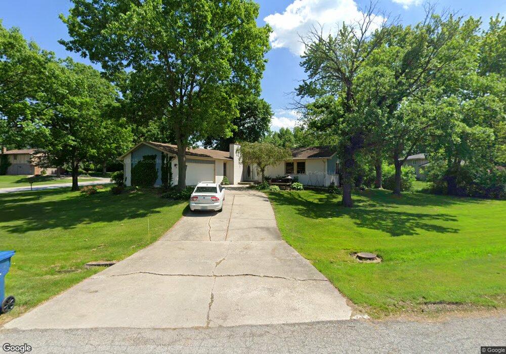
8609 Durbin Ln Crown Point, IN 46307
Estimated Value: $332,319 - $396,000
3
Beds
2
Baths
2,028
Sq Ft
$178/Sq Ft
Est. Value
About This Home
This home is located at 8609 Durbin Ln, Crown Point, IN 46307 and is currently estimated at $360,080, approximately $177 per square foot. 8609 Durbin Ln is a home located in Lake County with nearby schools including Hal E Clark Middle School, Peifer Elementary School, and Lake Central High School.
Ownership History
Date
Name
Owned For
Owner Type
Purchase Details
Closed on
Jun 17, 2021
Sold by
Hill Kevin N and Hill Amy L
Bought by
Hill Kevin N
Current Estimated Value
Home Financials for this Owner
Home Financials are based on the most recent Mortgage that was taken out on this home.
Original Mortgage
$175,000
Interest Rate
2.9%
Mortgage Type
New Conventional
Create a Home Valuation Report for This Property
The Home Valuation Report is an in-depth analysis detailing your home's value as well as a comparison with similar homes in the area
Home Values in the Area
Average Home Value in this Area
Purchase History
| Date | Buyer | Sale Price | Title Company |
|---|---|---|---|
| Hill Kevin N | -- | Titlemax |
Source: Public Records
Mortgage History
| Date | Status | Borrower | Loan Amount |
|---|---|---|---|
| Closed | Hill Kevin N | $175,000 |
Source: Public Records
Tax History Compared to Growth
Tax History
| Year | Tax Paid | Tax Assessment Tax Assessment Total Assessment is a certain percentage of the fair market value that is determined by local assessors to be the total taxable value of land and additions on the property. | Land | Improvement |
|---|---|---|---|---|
| 2024 | $6,325 | $330,600 | $70,100 | $260,500 |
| 2023 | $2,768 | $310,600 | $70,100 | $240,500 |
| 2022 | $2,858 | $288,000 | $70,100 | $217,900 |
| 2021 | $2,649 | $273,600 | $70,100 | $203,500 |
| 2020 | $2,621 | $265,600 | $70,100 | $195,500 |
| 2019 | $2,518 | $238,000 | $51,500 | $186,500 |
| 2018 | $2,441 | $229,800 | $49,800 | $180,000 |
| 2017 | $2,326 | $231,100 | $49,800 | $181,300 |
| 2016 | $2,138 | $216,100 | $49,800 | $166,300 |
| 2014 | $2,018 | $215,200 | $51,000 | $164,200 |
| 2013 | $2,020 | $210,800 | $51,000 | $159,800 |
Source: Public Records
Map
Nearby Homes
- 8748 Durbin Ln
- 4930 W 84th Terrace
- 5063 W 89th Ct
- 9017 Mathews St
- 4944 W 89th Terrace
- 6076 Wexford Way
- 5547 Maggie Mae Ct
- 8849 Calhoun Place
- 5544 Maggie Mae Ct
- 5012 W 92nd Ave
- 5480 Victoria Place
- 4862 W 92nd Ave
- 8109 Victoria Place
- 10406 Whitney Place
- 10444 Whitney Place
- 10474 Whitney Place
- 10467 Whitney Place
- 10475 Whitney Place
- 6440 W 89th Ave
- 9195 Williams St
- 8638 Mathews St
- 8635 Durbin Ln
- 8610 Durbin Ln
- 8588 Durbin Ln
- 8593 Mathews St
- 8625 Mathews St
- 8637 Mathews St
- 8626 Durbin Ln
- 8650 Mathews St
- 8581 Mathews St
- 8569 Mathews St
- 8642 Durbin Ln
- 8663 Durbin Ln
- 5200 W 86th Place
- 8662 Mathews St
- 8658 Durbin Ln
- 5247 W 85th Place
- 8661 Mathews St
- 5180 W 86th Place
- 8681 Durbin Ln