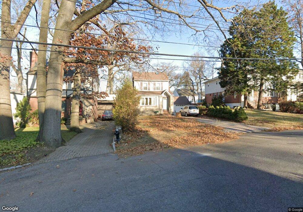
8609 Palo Alto St Hollis, NY 11423
Holliswood NeighborhoodEstimated Value: $911,019 - $1,114,000
--
Bed
--
Bath
1,480
Sq Ft
$680/Sq Ft
Est. Value
About This Home
This home is located at 8609 Palo Alto St, Hollis, NY 11423 and is currently estimated at $1,006,005, approximately $679 per square foot. 8609 Palo Alto St is a home located in Queens County with nearby schools including P.S. 35 Nathaniel Woodhull, I.S. 238 Susan B Anthony Academy, and The Wellspring Schools.
Ownership History
Date
Name
Owned For
Owner Type
Purchase Details
Closed on
Dec 21, 2001
Sold by
Milord Marie
Bought by
Tomas Maria S
Current Estimated Value
Home Financials for this Owner
Home Financials are based on the most recent Mortgage that was taken out on this home.
Original Mortgage
$275,000
Outstanding Balance
$112,074
Interest Rate
7.15%
Estimated Equity
$893,931
Create a Home Valuation Report for This Property
The Home Valuation Report is an in-depth analysis detailing your home's value as well as a comparison with similar homes in the area
Home Values in the Area
Average Home Value in this Area
Purchase History
| Date | Buyer | Sale Price | Title Company |
|---|---|---|---|
| Tomas Maria S | -- | -- |
Source: Public Records
Mortgage History
| Date | Status | Borrower | Loan Amount |
|---|---|---|---|
| Open | Tomas Maria S | $275,000 |
Source: Public Records
Tax History Compared to Growth
Tax History
| Year | Tax Paid | Tax Assessment Tax Assessment Total Assessment is a certain percentage of the fair market value that is determined by local assessors to be the total taxable value of land and additions on the property. | Land | Improvement |
|---|---|---|---|---|
| 2025 | $8,142 | $41,990 | $9,903 | $32,087 |
| 2024 | $8,142 | $40,538 | $10,047 | $30,491 |
| 2023 | $8,142 | $40,538 | $9,803 | $30,735 |
| 2022 | $7,849 | $51,000 | $13,740 | $37,260 |
| 2021 | $7,806 | $47,340 | $13,740 | $33,600 |
| 2020 | $7,407 | $44,820 | $13,740 | $31,080 |
| 2019 | $7,067 | $42,180 | $13,740 | $28,440 |
| 2018 | $6,589 | $33,782 | $12,221 | $21,561 |
| 2017 | $6,379 | $32,763 | $12,610 | $20,153 |
| 2016 | $5,869 | $32,763 | $12,610 | $20,153 |
| 2015 | $3,508 | $29,160 | $12,732 | $16,428 |
| 2014 | $3,508 | $28,152 | $11,846 | $16,306 |
Source: Public Records
Map
Nearby Homes
- 190-22 Nero Ave
- 195-12 Mclaughlin Ave
- 86-55 Santiago St
- 19346 Mclaughlin Ave
- 19512 Mclaughlin Ave
- 8714 Santiago St
- 19615 Como Ave
- 193-03 85th Rd
- 8716 Palo Alto St
- 195-22 Mclaughlin Ave
- 8684 188th St
- 193-55 85th Rd
- 8702 Chevy Chase St
- 8702 188th St
- 19127 Foothill Ave
- 186-34 Henley Rd
- 184-51 Hovenden Rd
- 19922 Keno Ave
- 196-35 Dunton Ave Unit 1
- 87-24 Marengo St Unit 2B
- 8615 Palo Alto St
- 8607 Palo Alto St
- 8615 Palo Alto St
- 8614 Palermo St
- 86-02 Palermo St
- 8602 Palermo St
- 86-19 Palo Alto St Unit WH
- 86-19 Palo Alto St
- 8618 Palermo St
- 8619 Palo Alto St
- 86-18 Palermo St
- 19106 Nero Ave
- 8624 Palermo St
- 86-25 Palo Alto St
- 8623 Palo Alto St
- 8618 Palo Alto St
- 8630 Palermo St
- 86-30 Palermo St
- 8629 Palo Alto St
- 190-49 Nero Ave