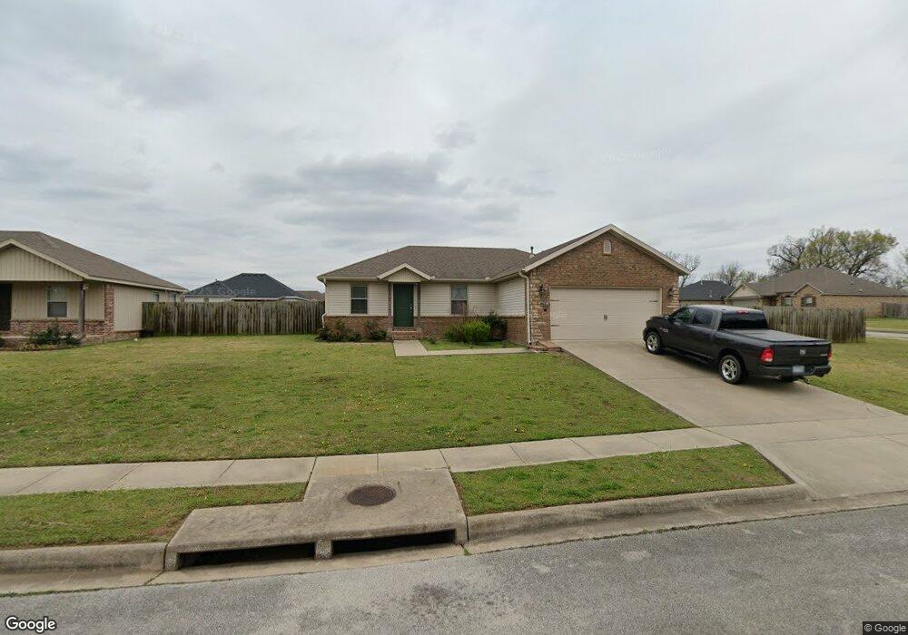
861 Carroll Dr Prairie Grove, AR 72753
Estimated Value: $243,000 - $271,000
3
Beds
2
Baths
1,250
Sq Ft
$207/Sq Ft
Est. Value
About This Home
This home is located at 861 Carroll Dr, Prairie Grove, AR 72753 and is currently estimated at $258,221, approximately $206 per square foot. 861 Carroll Dr is a home located in Washington County with nearby schools including Prairie Grove Elementary School, Prairie Grove Middle School, and Prairie Grove Junior High School.
Ownership History
Date
Name
Owned For
Owner Type
Purchase Details
Closed on
Feb 23, 2017
Sold by
Lots 101 Llc
Bought by
Trade Mark Homes Llc
Current Estimated Value
Home Financials for this Owner
Home Financials are based on the most recent Mortgage that was taken out on this home.
Original Mortgage
$100,000
Interest Rate
4.12%
Mortgage Type
Construction
Create a Home Valuation Report for This Property
The Home Valuation Report is an in-depth analysis detailing your home's value as well as a comparison with similar homes in the area
Home Values in the Area
Average Home Value in this Area
Purchase History
| Date | Buyer | Sale Price | Title Company |
|---|---|---|---|
| Trade Mark Homes Llc | $10,000 | Lenders Title Co |
Source: Public Records
Mortgage History
| Date | Status | Borrower | Loan Amount |
|---|---|---|---|
| Closed | Trade Mark Homes Llc | $100,000 |
Source: Public Records
Tax History Compared to Growth
Tax History
| Year | Tax Paid | Tax Assessment Tax Assessment Total Assessment is a certain percentage of the fair market value that is determined by local assessors to be the total taxable value of land and additions on the property. | Land | Improvement |
|---|---|---|---|---|
| 2025 | $1,970 | $44,930 | $8,000 | $36,930 |
| 2024 | $1,847 | $44,930 | $8,000 | $36,930 |
| 2023 | $1,758 | $44,930 | $8,000 | $36,930 |
| 2022 | $1,598 | $29,600 | $4,800 | $24,800 |
| 2021 | $1,598 | $29,600 | $4,800 | $24,800 |
| 2020 | $1,406 | $29,600 | $4,800 | $24,800 |
| 2019 | $1,293 | $23,760 | $4,000 | $19,760 |
| 2018 | $1,293 | $23,760 | $4,000 | $19,760 |
| 2017 | $194 | $3,600 | $3,600 | $0 |
| 2016 | $194 | $2,880 | $2,880 | $0 |
| 2015 | $148 | $2,880 | $2,880 | $0 |
| 2014 | $135 | $2,500 | $2,500 | $0 |
Source: Public Records
Map
Nearby Homes
- 1498 Viney Grove Rd
- 1601 Affirmed Ln
- 920 Seabiscuit Dr
- 261 Hearthstone Cir
- 10591 Viney Grove Rd
- 1745 Viney Grove Rd
- 812 Cedar Ln
- 807 Maple St
- 10714 Viney Grove Rd
- 505 Shady Acres Ln
- 971 Pebble Dr
- 106 Jenkins Rd
- 461 Maya St
- 1042 Vista Ave
- 441 Maya St
- 442 Maya St
- 581 Crystal Dr
- DENTON Plan at Hudson Heights
- GARLAND Plan at Hudson Heights
- EUREKA Plan at Hudson Heights
- 841 Carroll Dr
- 860 Washington Rd
- 840 Washington Rd
- 821 Carroll Dr
- 1420 Sebastian Ln
- 1410 Sebastian Ln
- 1440 Sebastian Ln
- 880 Carroll Dr
- 1460 Sebastian Ln
- 860 Carroll Dr
- 820 Washington Rd
- 1400 Sebastian Ln
- 840 Carroll Dr
- 801 Carroll Dr
- 800 Washington Rd
- 1390 Sebastian Ln
- 820 Carroll Dr
- 861 Washington Rd
- 781 Carroll Dr
- 821 Washington Rd