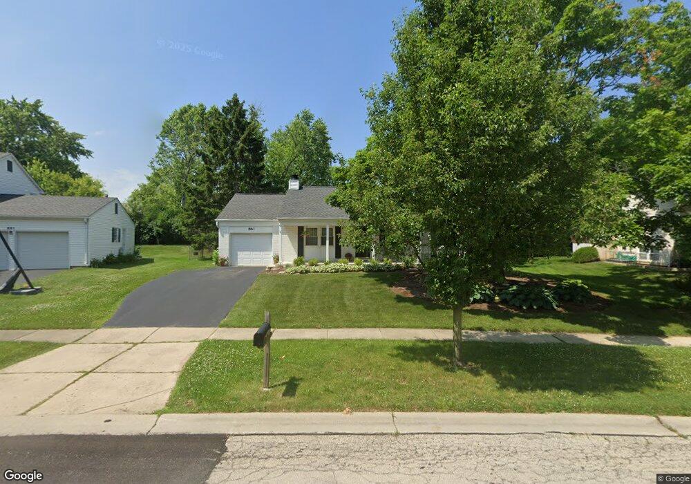
861 Essington Ln Buffalo Grove, IL 60089
Estimated Value: $369,000 - $437,000
--
Bed
2
Baths
1,176
Sq Ft
$341/Sq Ft
Est. Value
About This Home
This home is located at 861 Essington Ln, Buffalo Grove, IL 60089 and is currently estimated at $400,943, approximately $340 per square foot. 861 Essington Ln is a home located in Lake County with nearby schools including Ivy Hall Elementary School, Twin Groves Middle School, and Adlai E Stevenson High School.
Ownership History
Date
Name
Owned For
Owner Type
Purchase Details
Closed on
Dec 21, 2004
Sold by
Hill Michael and Hill Katharyn K
Bought by
Hill Michael H and Hill Katharyn K
Current Estimated Value
Purchase Details
Closed on
Mar 27, 1996
Sold by
Benson Robbie D and Adams Amy E
Bought by
Hill Michael and Hill Katharyn K
Home Financials for this Owner
Home Financials are based on the most recent Mortgage that was taken out on this home.
Original Mortgage
$142,650
Outstanding Balance
$6,785
Interest Rate
7.46%
Estimated Equity
$394,158
Create a Home Valuation Report for This Property
The Home Valuation Report is an in-depth analysis detailing your home's value as well as a comparison with similar homes in the area
Home Values in the Area
Average Home Value in this Area
Purchase History
| Date | Buyer | Sale Price | Title Company |
|---|---|---|---|
| Hill Michael H | -- | -- | |
| Hill Michael | $158,500 | -- |
Source: Public Records
Mortgage History
| Date | Status | Borrower | Loan Amount |
|---|---|---|---|
| Open | Hill Michael | $142,650 |
Source: Public Records
Tax History Compared to Growth
Tax History
| Year | Tax Paid | Tax Assessment Tax Assessment Total Assessment is a certain percentage of the fair market value that is determined by local assessors to be the total taxable value of land and additions on the property. | Land | Improvement |
|---|---|---|---|---|
| 2024 | $8,644 | $106,262 | $38,397 | $67,865 |
| 2023 | $8,069 | $100,266 | $36,230 | $64,036 |
| 2022 | $8,069 | $88,386 | $31,937 | $56,449 |
| 2021 | $7,755 | $87,433 | $31,593 | $55,840 |
| 2020 | $7,575 | $87,732 | $31,701 | $56,031 |
| 2019 | $7,478 | $87,408 | $31,584 | $55,824 |
| 2018 | $7,528 | $88,043 | $31,216 | $56,827 |
| 2017 | $7,620 | $85,988 | $30,487 | $55,501 |
| 2016 | $7,412 | $82,341 | $29,194 | $53,147 |
| 2015 | $7,202 | $77,005 | $27,302 | $49,703 |
| 2014 | $6,913 | $73,166 | $29,322 | $43,844 |
| 2012 | $6,840 | $73,313 | $29,381 | $43,932 |
Source: Public Records
Map
Nearby Homes
- 931 Shady Grove Ln
- 950 Belmar Ln
- 1141 Devonshire Rd
- 800 Clohesey Dr
- 610 Checker Dr
- 711 Woodhollow Ln
- 12 Cloverdale Ct
- 1265 Devonshire Rd
- 1152 Courtland Dr Unit 406
- 1032 Courtland Dr Unit 9
- 1118 Larraway Dr
- 887 Saybrook Ln Unit 2
- 390 Springside Ln
- 1325 Fairfax Ln
- 890 Knollwood Dr
- 1113 Lockwood Dr
- 1324 Fairfax Ln Unit B32
- 327 Lasalle Ln
- 938 Hidden Lake Dr
- 5107 N Arlington Heights Rd
- 851 Essington Ln
- 871 Essington Ln Unit 9
- 870 Dunham Ln
- 861 Checker Dr
- 890 Dunham Ln
- 841 Essington Ln Unit 9
- 860 Essington Ln
- 821 Checker Dr
- 910 Dunham Ln
- 831 Essington Ln
- 840 Essington Ln
- 920 Dunham Ln
- 811 Checker Dr
- 850 Checker Dr Unit 8
- 840 Checker Dr
- 860 Checker Dr
- 871 Dunham Ln
- 861 Dunham Ln
- 821 Essington Ln
- 881 Dunham Ln