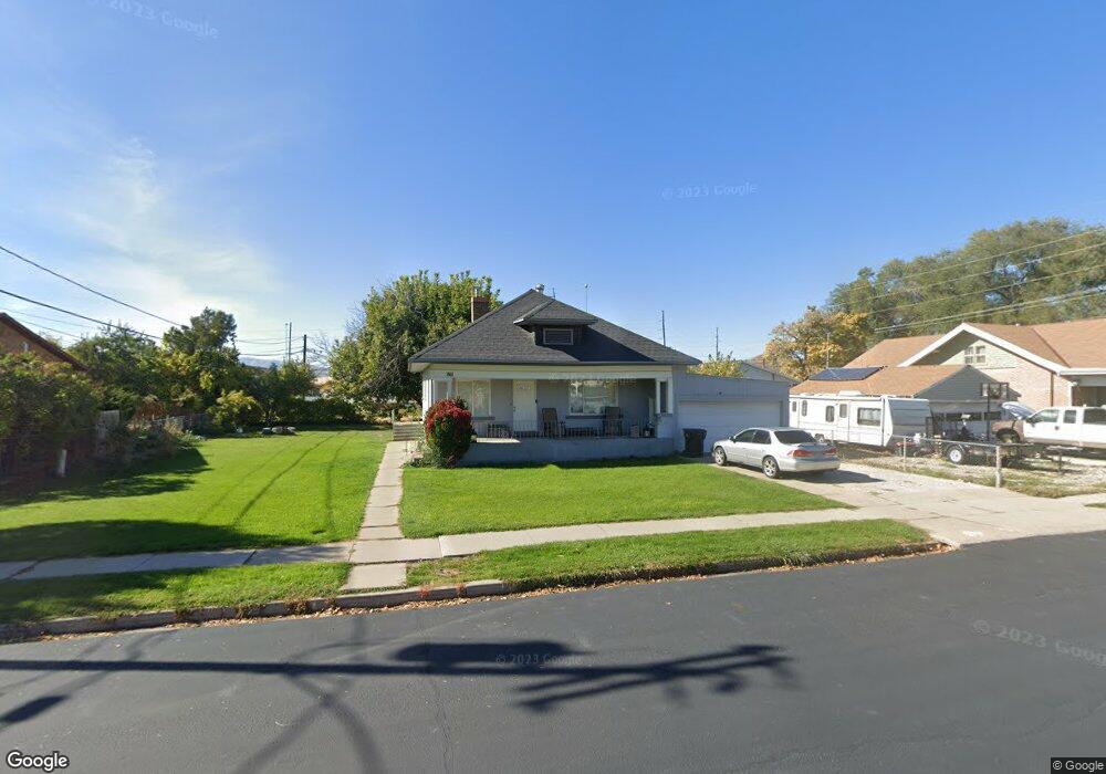
861 N 200 W Spanish Fork, UT 84660
Estimated Value: $345,000 - $510,755
2
Beds
1
Bath
2,460
Sq Ft
$179/Sq Ft
Est. Value
About This Home
This home is located at 861 N 200 W, Spanish Fork, UT 84660 and is currently estimated at $440,439, approximately $179 per square foot. 861 N 200 W is a home located in Utah County with nearby schools including Brockbank Elementary School, Spanish Fork Jr High School, and Spanish Fork High School.
Ownership History
Date
Name
Owned For
Owner Type
Purchase Details
Closed on
Apr 27, 2017
Sold by
Spanish Rftut821 Llc
Bought by
Joyner 861N Trust
Current Estimated Value
Purchase Details
Closed on
Jun 2, 2015
Sold by
Jensen Kathleen and Lewis Kathleen
Bought by
Joyner Kyle S and Joyner Elisa
Home Financials for this Owner
Home Financials are based on the most recent Mortgage that was taken out on this home.
Original Mortgage
$157,102
Interest Rate
3.37%
Mortgage Type
FHA
Purchase Details
Closed on
Apr 16, 1998
Sold by
Baert Robert
Bought by
Lewis Kathleen
Create a Home Valuation Report for This Property
The Home Valuation Report is an in-depth analysis detailing your home's value as well as a comparison with similar homes in the area
Home Values in the Area
Average Home Value in this Area
Purchase History
| Date | Buyer | Sale Price | Title Company |
|---|---|---|---|
| Joyner 861N Trust | -- | None Listed On Document | |
| Spanish Rftut821 Llc | -- | None Available | |
| Joyner Kyle S | -- | Backman Title Services Ltd | |
| Lewis Kathleen | -- | -- |
Source: Public Records
Mortgage History
| Date | Status | Borrower | Loan Amount |
|---|---|---|---|
| Previous Owner | Joyner Kyle S | $157,102 |
Source: Public Records
Tax History Compared to Growth
Tax History
| Year | Tax Paid | Tax Assessment Tax Assessment Total Assessment is a certain percentage of the fair market value that is determined by local assessors to be the total taxable value of land and additions on the property. | Land | Improvement |
|---|---|---|---|---|
| 2025 | $2,132 | $237,215 | $170,000 | $261,300 |
| 2024 | $2,132 | $219,780 | $0 | $0 |
| 2023 | $2,155 | $222,420 | $0 | $0 |
| 2022 | $2,139 | $216,480 | $0 | $0 |
| 2021 | $1,829 | $296,100 | $98,600 | $197,500 |
| 2020 | $1,652 | $260,100 | $82,200 | $177,900 |
| 2019 | $1,451 | $240,300 | $82,200 | $158,100 |
| 2018 | $1,372 | $219,700 | $82,200 | $137,500 |
| 2017 | $1,200 | $103,290 | $0 | $0 |
| 2016 | $983 | $83,435 | $0 | $0 |
| 2015 | $899 | $75,460 | $0 | $0 |
| 2014 | $835 | $70,345 | $0 | $0 |
Source: Public Records
Map
Nearby Homes