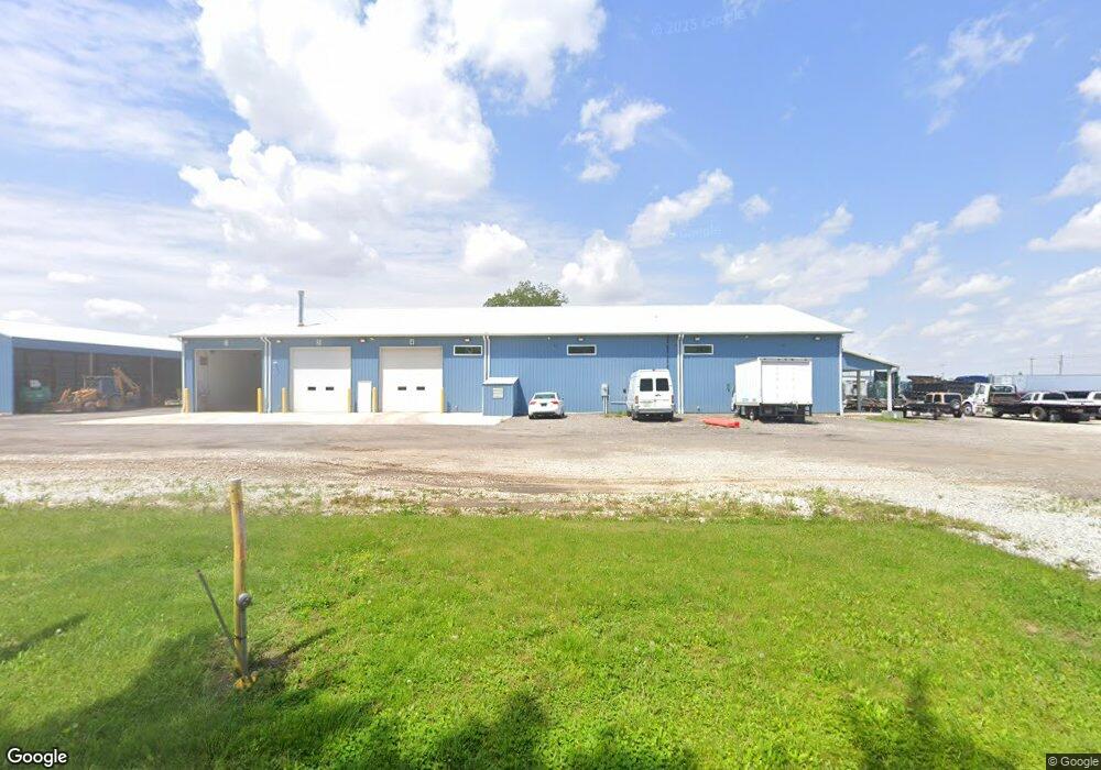
861 N 325 W Marion, IN 46953
Estimated Value: $54,000
3
Beds
1
Bath
1,144
Sq Ft
$47/Sq Ft
Est. Value
About This Home
This home is located at 861 N 325 W, Marion, IN 46953 and is currently priced at $54,000, approximately $47 per square foot. 861 N 325 W is a home located in Grant County with nearby schools including Converse Elementary School, Sweetser Elementary School, and Oak Hill Junior High School.
Ownership History
Date
Name
Owned For
Owner Type
Purchase Details
Closed on
Mar 1, 2019
Sold by
Blinn Ed
Bought by
Fabrication Tjr
Current Estimated Value
Purchase Details
Closed on
Apr 26, 2018
Sold by
Blinn Edwin
Bought by
Fabrication Tjr
Purchase Details
Closed on
Apr 25, 2018
Sold by
Unknown
Bought by
Binn Edward
Purchase Details
Closed on
Apr 19, 2018
Sold by
Grant Nevels
Bought by
Ed Blinn
Purchase Details
Closed on
Nov 29, 2001
Sold by
Not Provided
Bought by
Not Provided
Purchase Details
Closed on
Mar 30, 2001
Sold by
Not Provided
Bought by
Not Provided
Purchase Details
Closed on
Apr 7, 2000
Sold by
Not Provided
Bought by
Not Provided
Purchase Details
Closed on
Apr 4, 2000
Sold by
Not Provided
Bought by
Not Provided
Create a Home Valuation Report for This Property
The Home Valuation Report is an in-depth analysis detailing your home's value as well as a comparison with similar homes in the area
Home Values in the Area
Average Home Value in this Area
Purchase History
| Date | Buyer | Sale Price | Title Company |
|---|---|---|---|
| Fabrication Tjr | -- | -- | |
| Fabrication Tjr | -- | -- | |
| Binn Edward | $38,501 | -- | |
| Ed Blinn | $39,500 | -- | |
| Not Provided | -- | -- | |
| Not Provided | $35,000 | -- | |
| Not Provided | -- | -- | |
| Not Provided | -- | -- |
Source: Public Records
Tax History Compared to Growth
Tax History
| Year | Tax Paid | Tax Assessment Tax Assessment Total Assessment is a certain percentage of the fair market value that is determined by local assessors to be the total taxable value of land and additions on the property. | Land | Improvement |
|---|---|---|---|---|
| 2024 | $3,556 | $181,300 | $75,900 | $105,400 |
| 2023 | $3,837 | $183,600 | $75,900 | $107,700 |
| 2022 | $4,458 | $188,400 | $75,900 | $112,500 |
| 2021 | $3,745 | $158,400 | $75,900 | $82,500 |
| 2020 | $280 | $11,800 | $11,800 | $0 |
| 2019 | $623 | $31,500 | $25,800 | $5,700 |
| 2018 | $518 | $31,500 | $25,800 | $5,700 |
| 2017 | $479 | $31,500 | $25,800 | $5,700 |
| 2016 | $466 | $31,500 | $25,800 | $5,700 |
| 2014 | $440 | $31,500 | $25,800 | $5,700 |
| 2013 | $440 | $31,500 | $25,800 | $5,700 |
Source: Public Records
Map
Nearby Homes
- 3598 W Delphi Pike
- 516 Nancy Dr
- 203 Eagle Dr
- 0 Pennsylvania Ave
- 218 Greenberry St
- 119 Short St
- 309 Winger Way
- 110 Greenberry St
- 105 Peterson Dr
- 804 Alabama Ct
- 603 Broadway St
- 5292 W Delphi Pike
- 2348 W 9th St
- 2376 W Kem Rd
- 502 N Lenfesty Ave
- 303 S Lenfesty Ave
- 304 N Norton Ave
- 2010 W Wilno Dr
- 2200 W 2nd St
- 1807 W Wenlock Dr
- 3257 W Delphi Pike
- 3180 W Delphi Pike
- 3491 W Delphi Pike
- 3254 W Delphi Pike
- 3072 W Delphi Pike
- 311 N 325 W
- 1211 N 300 W
- 3631 W Delphi Pike
- 488 N 400 W
- 571 N 400 W
- 0 County Road 300 W
- 2971 W Kem Rd
- 3223 W N 00 S
- 360 N 400 W
- 1631 N 300 W
- 1256 N 400 W
- 343 N 400 W
- 3640 W N 00 S
- 4017 W Magers Dr
- 313 N 400 W