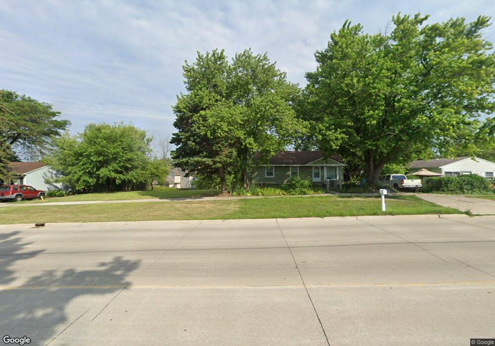
861 University Dr Pontiac, MI 48342
Estimated Value: $47,817 - $203,000
Studio
1
Bath
--
Sq Ft
6,490
Sq Ft Lot
About This Home
This home is located at 861 University Dr, Pontiac, MI 48342 and is currently estimated at $123,204. 861 University Dr is a home located in Oakland County with nearby schools including Herrington Elementary School, Pontiac Middle School, and Pontiac High School.
Ownership History
Date
Name
Owned For
Owner Type
Purchase Details
Closed on
Feb 11, 2022
Sold by
Messner Andrew E
Bought by
Leon Lynda L Negron
Current Estimated Value
Purchase Details
Closed on
Sep 26, 2006
Sold by
Lyons Calvin L
Bought by
Wells Fargo Bank Na and Asset Backed Pass Through Certificates S
Purchase Details
Closed on
Mar 7, 1997
Sold by
Lewis Merrick
Bought by
Lyons Calvin L
Home Financials for this Owner
Home Financials are based on the most recent Mortgage that was taken out on this home.
Original Mortgage
$33,200
Interest Rate
7.65%
Create a Home Valuation Report for This Property
The Home Valuation Report is an in-depth analysis detailing your home's value as well as a comparison with similar homes in the area
Home Values in the Area
Average Home Value in this Area
Purchase History
| Date | Buyer | Sale Price | Title Company |
|---|---|---|---|
| Leon Lynda L Negron | -- | None Listed On Document | |
| Wells Fargo Bank Na | $106,341 | None Available | |
| Lyons Calvin L | $33,200 | -- |
Source: Public Records
Mortgage History
| Date | Status | Borrower | Loan Amount |
|---|---|---|---|
| Previous Owner | Lyons Calvin L | $33,200 |
Source: Public Records
Tax History Compared to Growth
Tax History
| Year | Tax Paid | Tax Assessment Tax Assessment Total Assessment is a certain percentage of the fair market value that is determined by local assessors to be the total taxable value of land and additions on the property. | Land | Improvement |
|---|---|---|---|---|
| 2025 | $189 | $5,750 | $0 | $0 |
| 2024 | $182 | $4,110 | $0 | $0 |
| 2023 | $174 | $3,160 | $0 | $0 |
| 2022 | -- | $0 | $0 | $0 |
| 2021 | $0 | $0 | $0 | $0 |
| 2020 | $0 | $0 | $0 | $0 |
| 2019 | $0 | $0 | $0 | $0 |
| 2018 | $0 | $0 | $0 | $0 |
| 2017 | $0 | $0 | $0 | $0 |
| 2016 | $0 | $0 | $0 | $0 |
| 2015 | -- | $0 | $0 | $0 |
| 2014 | -- | $0 | $0 | $0 |
| 2011 | -- | $28,400 | $0 | $0 |
Source: Public Records
Map
Nearby Homes
- 570 S Stirling
- 591 Brady Ln
- 778 University Dr
- 597 Brady Ln
- 602 Brady Ln
- 608 Brady Ln
- 442 Kenilworth Ave
- 610 Kenilworth Ave
- 644 Brady Ln
- 389 Maxwell Rd
- 414 Kenilworth Ave
- 417 Cameron Ave
- 472 University Dr
- 457 Cameron Ave
- 715 Kenilworth Ave
- 730 Stirling St
- 771 Robinwood St
- 679 Linda Vista Dr
- 770 Cameron Ave
- 672 Linda Vista Dr
- 851 University Dr
- 867 University Dr
- 518 Brady Ln Unit 49
- 524 Brady Ln
- 535 Stirling St
- 512 Brady Ln Unit 50
- 530 Brady Ln Unit 47
- 535 S Stirling
- 871 University Dr
- 536 Brady Ln Unit Bldg-Unit
- 536 Brady Ln
- 858 University Dr
- 541 Stirling St
- 519 Brady Ln
- 525 Brady Ln
- 531 Brady Ln Unit 6
- 513 Brady Ln
- 542 Brady Ln Unit 36471522
- 542 Brady Ln Unit 36445832
- 542 Brady Ln Unit 36491473