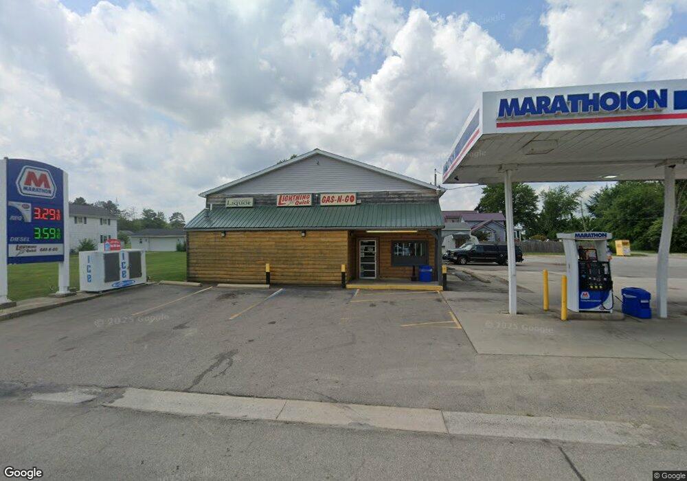
8610 S Adrian Hwy Jasper, MI 49248
Estimated Value: $175,778
--
Bed
--
Bath
2,852
Sq Ft
$62/Sq Ft
Est. Value
About This Home
This home is located at 8610 S Adrian Hwy, Jasper, MI 49248 and is currently estimated at $175,778, approximately $61 per square foot. 8610 S Adrian Hwy is a home located in Lenawee County with nearby schools including Ruth McGregor Elementary School and Sand Creek High School.
Ownership History
Date
Name
Owned For
Owner Type
Purchase Details
Closed on
May 5, 2008
Sold by
Knight Norman J and Knight Vivian L
Bought by
Jasper Party Store Llc
Current Estimated Value
Home Financials for this Owner
Home Financials are based on the most recent Mortgage that was taken out on this home.
Original Mortgage
$327,000
Outstanding Balance
$207,628
Interest Rate
5.93%
Mortgage Type
Future Advance Clause Open End Mortgage
Estimated Equity
-$31,850
Purchase Details
Closed on
Sep 16, 2005
Sold by
Wiam Inc
Bought by
Knight Norman J and Knight Vivian L
Create a Home Valuation Report for This Property
The Home Valuation Report is an in-depth analysis detailing your home's value as well as a comparison with similar homes in the area
Home Values in the Area
Average Home Value in this Area
Purchase History
| Date | Buyer | Sale Price | Title Company |
|---|---|---|---|
| Jasper Party Store Llc | $82,000 | None Available | |
| Knight Norman J | -- | None Available |
Source: Public Records
Mortgage History
| Date | Status | Borrower | Loan Amount |
|---|---|---|---|
| Open | Jasper Party Store Llc | $327,000 |
Source: Public Records
Tax History Compared to Growth
Tax History
| Year | Tax Paid | Tax Assessment Tax Assessment Total Assessment is a certain percentage of the fair market value that is determined by local assessors to be the total taxable value of land and additions on the property. | Land | Improvement |
|---|---|---|---|---|
| 2025 | $4,812 | $105,700 | $0 | $0 |
| 2024 | $1,176 | $102,100 | $0 | $0 |
| 2022 | $4,344 | $94,200 | $0 | $0 |
| 2021 | $4,309 | $90,700 | $0 | $0 |
| 2020 | $3,592 | $92,400 | $0 | $0 |
| 2019 | $208,507 | $71,500 | $0 | $0 |
| 2018 | $3,687 | $71,483 | $0 | $0 |
| 2017 | $3,595 | $69,889 | $0 | $0 |
| 2016 | $3,574 | $69,974 | $0 | $0 |
| 2014 | -- | $68,435 | $0 | $0 |
Source: Public Records
Map
Nearby Homes
- 1063 Elm St
- 11057 Arnold Hwy
- 5611 S Adrian Hwy
- 4084 Seneca St
- 4113 Seneca St
- 5101 Sand Creek Hwy
- 4633 Treat Hwy
- 2816 Sharp Rd
- 2261 W Yankee Rd
- 1240 W Carleton Rd
- 3099 W Yankee Rd
- 4070 Sharp Rd
- 3380 W Yankee Rd
- 2094 Farm Valley Rd
- 7127 Scott Hwy
- 9088 Elliott Hwy
- 2329 Wood Ridge Dr
- 1704 E Carleton Rd
- 1883 Harold St
- 1894 Harold St
- 8605 S Adrian Hwy
- 8623 S Adrian Hwy
- 1049 Elm St
- 8575 S Adrian Hwy
- 8576 S Adrian Hwy
- 8633 S Adrian Hwy
- 8533 S Adrian Hwy
- 8640 S Adrian Hwy
- 8535 S Adrian Hwy
- 8550 Treat Hwy
- 8542 Logan St
- 1045 Ogden St
- 1000 Ogden St Unit BLK
- 1000 Ogden St
- 8559 Logan St
- 8557 Logan St
- 8677 S Adrian Hwy
- 1055 Ogden St
- 8435 S Adrian Hwy
- 8450 S Adrian Hwy