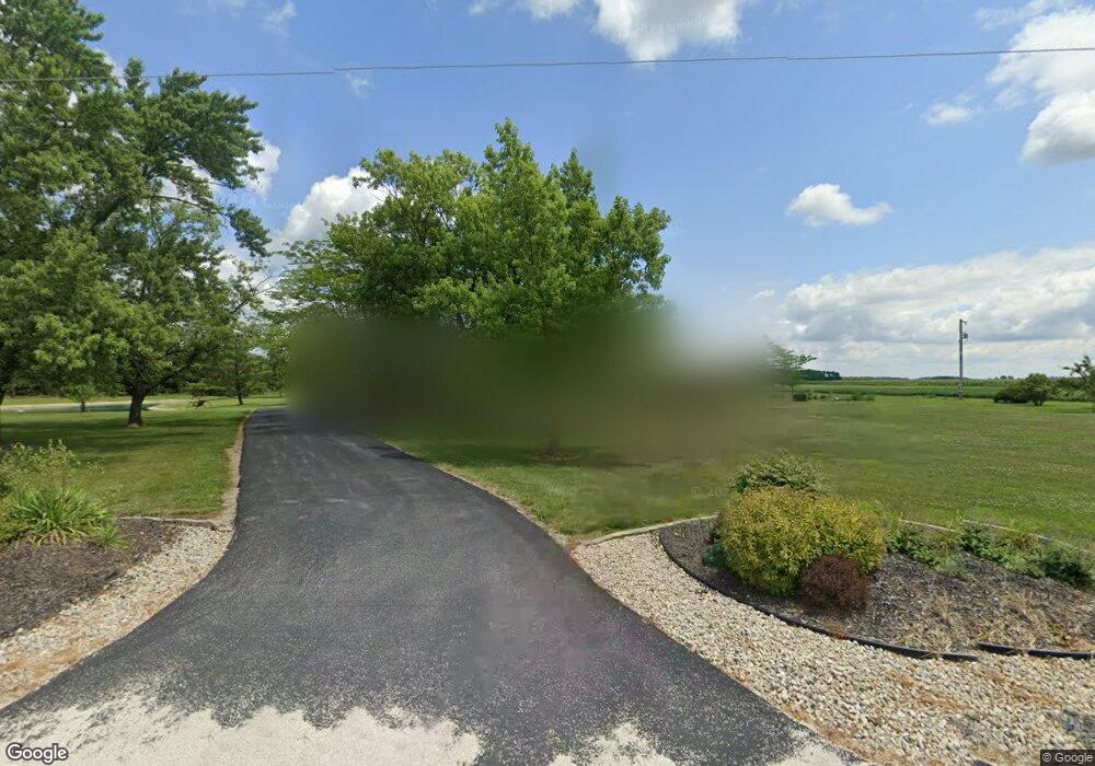
8610 State Route 637 Paulding, OH 45879
Estimated Value: $241,000 - $377,000
4
Beds
2
Baths
2,140
Sq Ft
$148/Sq Ft
Est. Value
About This Home
This home is located at 8610 State Route 637, Paulding, OH 45879 and is currently estimated at $316,811, approximately $148 per square foot. 8610 State Route 637 is a home located in Paulding County with nearby schools including Paulding High School.
Ownership History
Date
Name
Owned For
Owner Type
Purchase Details
Closed on
Feb 21, 2022
Sold by
Severson Jeremy E and Severson Laura E
Bought by
Severson Jeremy and Severson Laura E
Current Estimated Value
Purchase Details
Closed on
Feb 9, 2022
Sold by
Severson Jeremy E and Severson Laura E
Bought by
Severson Jeremy and Severson Laura E
Purchase Details
Closed on
Aug 21, 2017
Sold by
Agness Lee A and Agness Roberta K
Bought by
Severson Jeremy and Severson Laura E
Home Financials for this Owner
Home Financials are based on the most recent Mortgage that was taken out on this home.
Original Mortgage
$207,300
Interest Rate
3.96%
Mortgage Type
VA
Purchase Details
Closed on
Jun 1, 1984
Bought by
Agness Lee A Agness Roberta K
Create a Home Valuation Report for This Property
The Home Valuation Report is an in-depth analysis detailing your home's value as well as a comparison with similar homes in the area
Home Values in the Area
Average Home Value in this Area
Purchase History
| Date | Buyer | Sale Price | Title Company |
|---|---|---|---|
| Severson Jeremy | -- | Clemens Korhn Liming & Warncke | |
| Severson Jeremy | -- | Warncke Marc F | |
| Severson Jeremy | $215,000 | None Available | |
| Agness Lee A Agness Roberta K | $72,700 | -- |
Source: Public Records
Mortgage History
| Date | Status | Borrower | Loan Amount |
|---|---|---|---|
| Previous Owner | Severson Jeremy | $207,300 |
Source: Public Records
Tax History Compared to Growth
Tax History
| Year | Tax Paid | Tax Assessment Tax Assessment Total Assessment is a certain percentage of the fair market value that is determined by local assessors to be the total taxable value of land and additions on the property. | Land | Improvement |
|---|---|---|---|---|
| 2024 | $2,752 | $77,040 | $13,440 | $63,600 |
| 2023 | $2,752 | $77,040 | $13,440 | $63,600 |
| 2022 | $2,623 | $77,040 | $13,440 | $63,600 |
| 2021 | $2,466 | $65,460 | $16,350 | $49,110 |
| 2020 | $2,546 | $65,460 | $16,350 | $49,110 |
| 2019 | $2,569 | $63,110 | $16,350 | $46,760 |
| 2018 | $2,496 | $63,110 | $16,350 | $46,760 |
| 2017 | $2,499 | $63,110 | $16,350 | $46,760 |
| 2016 | $2,436 | $63,110 | $16,350 | $46,760 |
| 2015 | $2,141 | $56,390 | $14,460 | $41,930 |
| 2014 | $2,129 | $56,390 | $14,460 | $41,930 |
| 2013 | $2,315 | $56,390 | $14,460 | $41,930 |
Source: Public Records
Map
Nearby Homes
- 11785 Road 171
- 14255 Road 126
- 0 Road 72
- 18251 Road 48
- 12288 Road 179
- 104 Jackson St
- 9150 State Route 66
- 113 Superior St
- 207 Superior St
- 23235 Road 110
- 0 Tract 5 - Rr 111 Unit 10000394
- 225 2nd St
- 301 E Wayne St
- 0
- 201 N Main St
- 100 N Maple St
- 0 Tract 3 - Rr 111 Unit 10000391
- 741 Tom Tim Dr
- 14326 Road 171
- 300 S Williams St
- 8610 State Route 637
- 9013 State Route 637
- 18254 Road 108
- 17982 State Route 613
- 18494 Road 108
- 17727 State Route 613
- 17758 State Route 613
- 17794 State Route 613
- 18551 Road 108
- 17483 Road 108
- 18579 Road 108
- 17408 Road 108
- 17417 State Route 613
- 7817 State Route 637
- 8652 Road 137
- 18832 Road 108
- 17194 Road 108
- 8395 Road 151
- 8543 Road 151
- 8223 Road 151