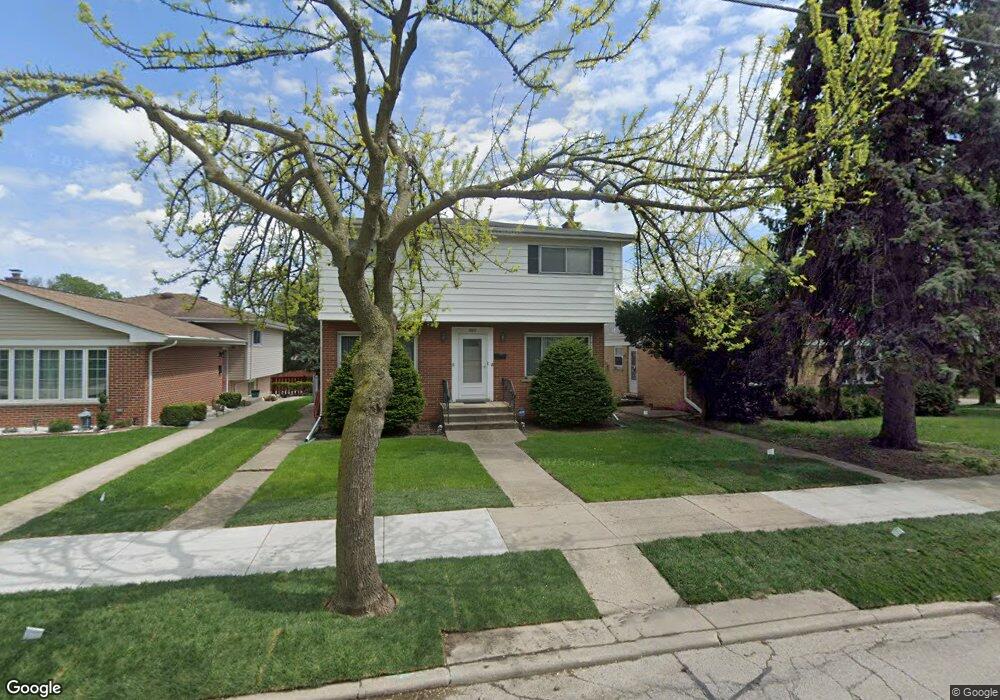
8611 Gross Point Rd Skokie, IL 60077
Southwest Skokie NeighborhoodEstimated Value: $459,000 - $491,000
4
Beds
3
Baths
1,500
Sq Ft
$312/Sq Ft
Est. Value
About This Home
This home is located at 8611 Gross Point Rd, Skokie, IL 60077 and is currently estimated at $467,959, approximately $311 per square foot. 8611 Gross Point Rd is a home located in Cook County with nearby schools including Madison Elementary School, Thomas Edison Elementary School, and Lincoln Junior High School.
Ownership History
Date
Name
Owned For
Owner Type
Purchase Details
Closed on
Jun 13, 2017
Sold by
Shulruff Faith N
Bought by
Shulruff Faith Nam and Fathnan Shulruff Trust
Current Estimated Value
Create a Home Valuation Report for This Property
The Home Valuation Report is an in-depth analysis detailing your home's value as well as a comparison with similar homes in the area
Home Values in the Area
Average Home Value in this Area
Purchase History
| Date | Buyer | Sale Price | Title Company |
|---|---|---|---|
| Shulruff Faith Nam | -- | None Available |
Source: Public Records
Mortgage History
| Date | Status | Borrower | Loan Amount |
|---|---|---|---|
| Closed | Maibuecher Gerald | $165,000 | |
| Closed | Maibuecher Gerald | $200,000 | |
| Closed | Maibuecher Gerald | $162,000 | |
| Closed | Maibuecher Gerald | $47,000 | |
| Closed | Maibuecher Gerald | $38,050 |
Source: Public Records
Tax History Compared to Growth
Tax History
| Year | Tax Paid | Tax Assessment Tax Assessment Total Assessment is a certain percentage of the fair market value that is determined by local assessors to be the total taxable value of land and additions on the property. | Land | Improvement |
|---|---|---|---|---|
| 2024 | $5,660 | $22,325 | $4,063 | $18,262 |
| 2023 | $6,737 | $22,325 | $4,063 | $18,262 |
| 2022 | $6,737 | $25,925 | $4,063 | $21,862 |
| 2021 | $5,840 | $20,321 | $2,500 | $17,821 |
| 2020 | $6,527 | $20,321 | $2,500 | $17,821 |
| 2019 | $6,580 | $22,870 | $2,500 | $20,370 |
| 2018 | $5,683 | $18,278 | $2,265 | $16,013 |
| 2017 | $6,101 | $19,328 | $2,265 | $17,063 |
| 2016 | $6,818 | $21,869 | $2,265 | $19,604 |
| 2015 | $5,807 | $18,099 | $1,953 | $16,146 |
| 2014 | $5,690 | $18,099 | $1,953 | $16,146 |
| 2013 | $5,751 | $18,099 | $1,953 | $16,146 |
Source: Public Records
Map
Nearby Homes
- 5222 Wright Terrace
- 5309 Crain St
- 8541 Lotus Ave Unit 914
- 8521 Lotus Ave Unit 706
- 5500 Lincoln Ave Unit 118E
- 5032 Crain St
- 8534 Terminal Ave
- 5033 Carol St
- 8318 Gross Point Rd
- 5506 Lincoln Ave Unit A211
- 5506 Lincoln Ave Unit A418
- 5510 Lincoln Ave Unit B501
- 5148 Cleveland St
- 8232 Niles Center Rd Unit 317
- 8207 Lincoln Ave
- 5253 Cleveland St
- 8147 Laramie Ave
- 8230 Elmwood St Unit 405
- 5249 Hoffman St
- 4819 Conrad St
- 8611 Gross Point Rd
- 5250 Greenleaf St
- 8615 Gross Point Rd
- 8615 Gross Point Rd
- 8621 Gross Point Rd
- 8621 Gross Point Rd
- 5232 Greenleaf St
- 8625 Gross Point Rd
- 8625 Gross Point Rd
- 5230 Greenleaf St
- 5224 Greenleaf St
- 5243 Greenleaf St
- 5247 Greenleaf St
- 5237 Greenleaf St
- 5251 Greenleaf St
- 5233 Greenleaf St
- 5220 Greenleaf St
- 5237 Conrad St
- 5229 Greenleaf St
- 8565 Gross Point Rd