8612 Mcafee Ln Battle Ground, IN 47920
Estimated Value: $747,000 - $1,005,258
5
Beds
5
Baths
6,036
Sq Ft
$146/Sq Ft
Est. Value
About This Home
This home is located at 8612 Mcafee Ln, Battle Ground, IN 47920 and is currently estimated at $881,419, approximately $146 per square foot. 8612 Mcafee Ln is a home located in Tippecanoe County with nearby schools including Battle Ground Elementary School, Battle Ground Middle School, and William Henry Harrison High School.
Ownership History
Date
Name
Owned For
Owner Type
Purchase Details
Closed on
Jun 18, 2009
Sold by
Rudolph Michael P and Rudolph Jill M
Bought by
Overmyer Gary and Overmyer Kathleen
Current Estimated Value
Purchase Details
Closed on
Nov 18, 2005
Sold by
Hardy John J and Hardy Michelle A
Bought by
Rudolph Michael P and Rudolph Jill M
Home Financials for this Owner
Home Financials are based on the most recent Mortgage that was taken out on this home.
Original Mortgage
$568,800
Interest Rate
6.04%
Mortgage Type
Fannie Mae Freddie Mac
Purchase Details
Closed on
Oct 10, 2003
Sold by
Hardy Michelle A
Bought by
Hardy John J and Hardy Michelle A
Create a Home Valuation Report for This Property
The Home Valuation Report is an in-depth analysis detailing your home's value as well as a comparison with similar homes in the area
Home Values in the Area
Average Home Value in this Area
Purchase History
| Date | Buyer | Sale Price | Title Company |
|---|---|---|---|
| Overmyer Gary | -- | None Available | |
| Rudolph Michael P | -- | -- | |
| Hardy John J | -- | -- |
Source: Public Records
Mortgage History
| Date | Status | Borrower | Loan Amount |
|---|---|---|---|
| Previous Owner | Rudolph Michael P | $568,800 |
Source: Public Records
Tax History Compared to Growth
Tax History
| Year | Tax Paid | Tax Assessment Tax Assessment Total Assessment is a certain percentage of the fair market value that is determined by local assessors to be the total taxable value of land and additions on the property. | Land | Improvement |
|---|---|---|---|---|
| 2024 | $6,152 | $769,100 | $102,500 | $666,600 |
| 2023 | $5,656 | $719,800 | $102,500 | $617,300 |
| 2022 | $5,517 | $637,500 | $102,500 | $535,000 |
| 2021 | $5,556 | $637,500 | $102,500 | $535,000 |
| 2020 | $5,308 | $637,500 | $102,500 | $535,000 |
| 2019 | $5,328 | $643,800 | $102,500 | $541,300 |
| 2018 | $5,189 | $640,100 | $102,500 | $537,600 |
| 2017 | $5,256 | $641,000 | $102,500 | $538,500 |
| 2016 | $5,145 | $634,100 | $102,500 | $531,600 |
| 2014 | $5,392 | $668,000 | $102,500 | $565,500 |
| 2013 | $5,599 | $663,200 | $102,500 | $560,700 |
Source: Public Records
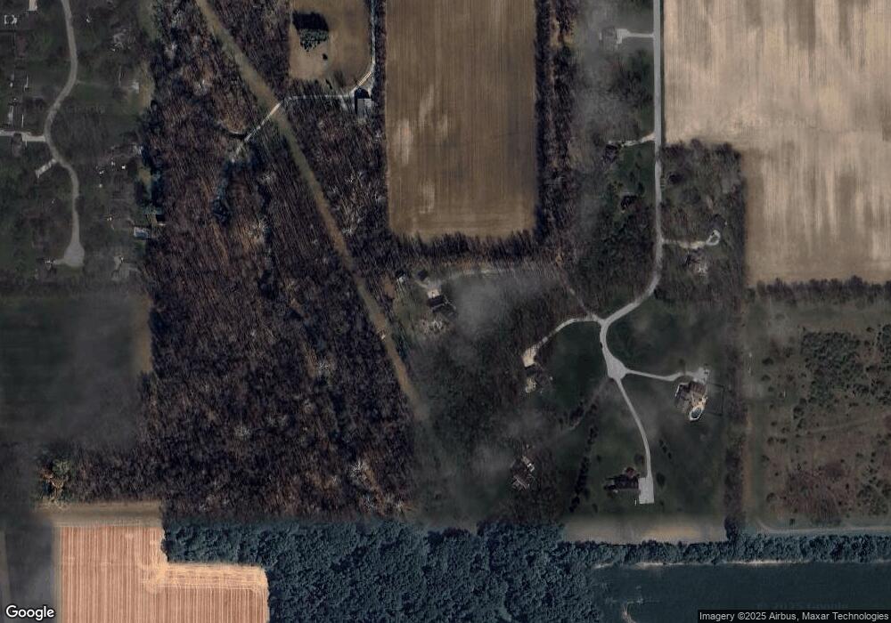
Map
Nearby Homes
- 9099 Herring Ln
- 9060 Herring Ln
- 7625 Indiana 43
- 689 Winslow Ln
- 2880 Antioch Ln
- 8224 N Meridian Line Rd
- 6954 State Road 43 N
- 7319 N 300 E
- 6519 Ironclad Way
- 6258 Munsee Dr
- 6260 Musket Way
- Harrison Plan at The Preserve
- Reagan Plan at The Preserve
- Monroe Plan at The Preserve
- Eisenhower Plan at The Preserve
- Arthur Plan at The Preserve
- Van Buren Plan at The Preserve
- Jefferson Plan at The Preserve
- Lincoln Plan at The Preserve
- Taylor Plan at The Preserve
- 8602 Mcafee Ln
- 8510 Mcafee Ln
- 8704 Mcafee Ln
- 1403 E 900 N
- 8615 Mcafee Ln
- 8501 Mcafee Ln
- 8500 Mcafee Ln
- 8806 Mcafee Ln
- 8605 Tenskwatawa Dr
- 8609 Tenskwatawa Dr
- 8615 Tenskwatawa Dr
- 8615 Tenskwatawa Dr
- 8621 Tenskwatawa Dr
- 8701 Tenskwatawa Dr
- 8818 Mcafee Ln
- 8604 Tenskwatawa Dr
- 8610 Tenskwatawa Dr
- 8707 Tenskwatawa Dr
- 8616 Tenskwatawa Dr
- 8622 Tenskwatawa Dr