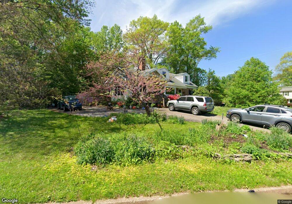
8614 Bradgate Rd Alexandria, VA 22308
Fort Hunt NeighborhoodEstimated Value: $816,000 - $903,000
4
Beds
3
Baths
1,984
Sq Ft
$439/Sq Ft
Est. Value
About This Home
This home is located at 8614 Bradgate Rd, Alexandria, VA 22308 and is currently estimated at $870,073, approximately $438 per square foot. 8614 Bradgate Rd is a home located in Fairfax County with nearby schools including Fort Hunt Elementary School, Sandburg Middle, and West Potomac High School.
Ownership History
Date
Name
Owned For
Owner Type
Purchase Details
Closed on
Jun 28, 2006
Sold by
Ray Donald L
Bought by
Ustun Jonathan L
Current Estimated Value
Home Financials for this Owner
Home Financials are based on the most recent Mortgage that was taken out on this home.
Original Mortgage
$417,000
Outstanding Balance
$246,605
Interest Rate
6.58%
Mortgage Type
New Conventional
Estimated Equity
$623,468
Create a Home Valuation Report for This Property
The Home Valuation Report is an in-depth analysis detailing your home's value as well as a comparison with similar homes in the area
Home Values in the Area
Average Home Value in this Area
Purchase History
| Date | Buyer | Sale Price | Title Company |
|---|---|---|---|
| Ustun Jonathan L | $565,000 | -- |
Source: Public Records
Mortgage History
| Date | Status | Borrower | Loan Amount |
|---|---|---|---|
| Open | Ustun Jonathan L | $417,000 |
Source: Public Records
Tax History
| Year | Tax Paid | Tax Assessment Tax Assessment Total Assessment is a certain percentage of the fair market value that is determined by local assessors to be the total taxable value of land and additions on the property. | Land | Improvement |
|---|---|---|---|---|
| 2025 | $9,024 | $767,140 | $348,000 | $419,140 |
| 2024 | $9,024 | $731,020 | $328,000 | $403,020 |
| 2023 | $8,880 | $743,480 | $328,000 | $415,480 |
| 2022 | $8,389 | $692,080 | $328,000 | $364,080 |
| 2021 | $7,906 | $639,620 | $296,000 | $343,620 |
| 2020 | $7,499 | $602,400 | $272,000 | $330,400 |
| 2019 | $7,381 | $591,130 | $264,000 | $327,130 |
| 2018 | $7,115 | $571,600 | $254,000 | $317,600 |
| 2017 | $6,981 | $571,600 | $254,000 | $317,600 |
| 2016 | $6,967 | $571,600 | $254,000 | $317,600 |
Source: Public Records
Map
Nearby Homes
- 8611 Camden St
- 2412 Cavendish Dr
- 8511 Camden St
- 2203 Pennsylvania Blvd
- 2100 Wittington Blvd
- 8511 Stable Dr
- 3123 Little Creek Ln
- 8352 Orange Ct
- 3108 Battersea Ln
- 8345 Orange Ct
- 8410 Stockade Dr
- 3213 Wessynton Way
- 2408 William And Mary Dr
- 8407 Stockade Dr
- 8237 Clifton Farm Ct
- 8620 Fort Hunt Rd
- 8904 Camfield Dr
- 3402 Wessynton Way
- 2007 Cool Spring Dr
- 8219 Doctor Craik Ct
- 8616 Bradgate Rd
- 2503 Ryegate Ln
- 2417 Ryegate Ln
- 8618 Bradgate Rd
- 2502 Ryegate Ln
- 2500 Ryegate Ln
- 8615 Bradgate Rd
- 2505 Ryegate Ln
- 2418 Ryegate Ln
- 8617 Bradgate Rd
- 2504 Ryegate Ln
- 2500 Turbridge Ln
- 2502 Turbridge Ln
- 8619 Bradgate Rd
- 8620 Bradgate Rd
- 2416 Ryegate Ln
- 2413 Ryegate Ln
- 2506 Ryegate Ln
- 2507 Ryegate Ln
- 2505 Londonderry Rd
Your Personal Tour Guide
Ask me questions while you tour the home.