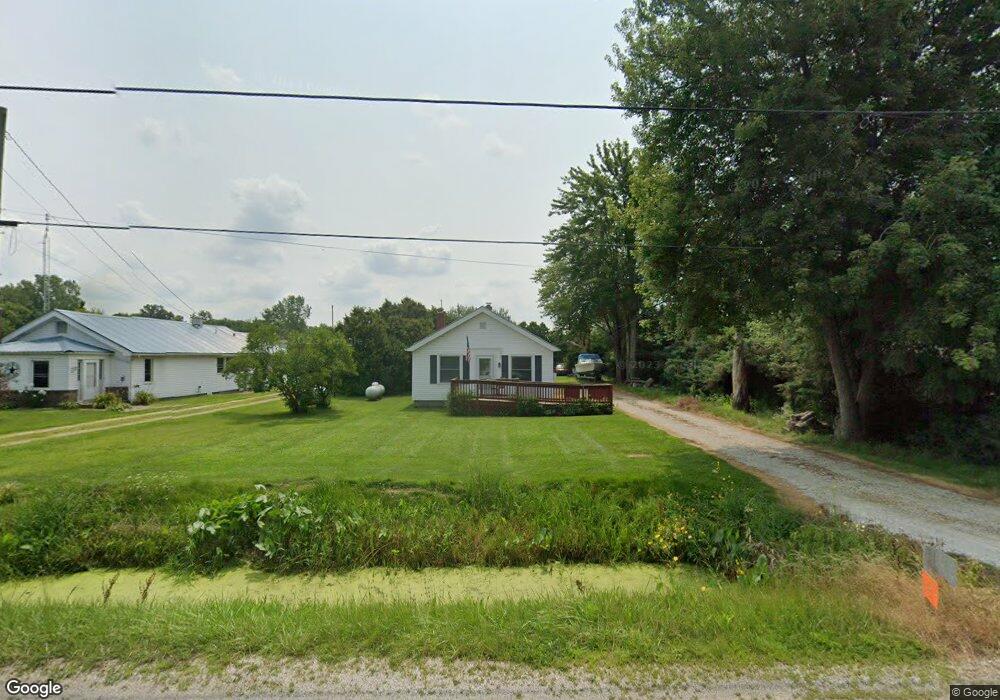
8614 Cedar Point Rd Oregon, OH 43616
Estimated Value: $144,000 - $196,000
3
Beds
1
Bath
1,056
Sq Ft
$159/Sq Ft
Est. Value
About This Home
This home is located at 8614 Cedar Point Rd, Oregon, OH 43616 and is currently estimated at $168,417, approximately $159 per square foot. 8614 Cedar Point Rd is a home located in Lucas County.
Ownership History
Date
Name
Owned For
Owner Type
Purchase Details
Closed on
May 5, 2021
Sold by
Halka Brian A
Bought by
Kyle N Et Al Kolasinski
Current Estimated Value
Home Financials for this Owner
Home Financials are based on the most recent Mortgage that was taken out on this home.
Interest Rate
2.98%
Purchase Details
Closed on
Apr 30, 2021
Sold by
Halka Brian A
Bought by
Kolasnski Kyle N and Fredrick Whitney
Home Financials for this Owner
Home Financials are based on the most recent Mortgage that was taken out on this home.
Interest Rate
2.98%
Purchase Details
Closed on
Apr 15, 2016
Sold by
Bradfield Charlotte and St John Charlotte
Bought by
Halka Brian A
Home Financials for this Owner
Home Financials are based on the most recent Mortgage that was taken out on this home.
Original Mortgage
$74,575
Interest Rate
3.64%
Mortgage Type
New Conventional
Create a Home Valuation Report for This Property
The Home Valuation Report is an in-depth analysis detailing your home's value as well as a comparison with similar homes in the area
Purchase History
| Date | Buyer | Sale Price | Title Company |
|---|---|---|---|
| Kyle N Et Al Kolasinski | $115,000 | -- | |
| Kolasnski Kyle N | $120,000 | None Available | |
| Halka Brian A | $78,500 | None Available |
Source: Public Records
Mortgage History
| Date | Status | Borrower | Loan Amount |
|---|---|---|---|
| Closed | Kyle N Et Al Kolasinski | -- | |
| Open | Kolasnski Kyle N | $112,917 | |
| Previous Owner | Halka Brian A | $74,575 |
Source: Public Records
Tax History
| Year | Tax Paid | Tax Assessment Tax Assessment Total Assessment is a certain percentage of the fair market value that is determined by local assessors to be the total taxable value of land and additions on the property. | Land | Improvement |
|---|---|---|---|---|
| 2025 | -- | $42,700 | $13,685 | $29,015 |
| 2024 | $1,226 | $42,700 | $13,685 | $29,015 |
| 2023 | $2,223 | $32,550 | $6,580 | $25,970 |
| 2022 | $2,212 | $32,550 | $6,580 | $25,970 |
| 2021 | $2,223 | $32,550 | $6,580 | $25,970 |
| 2020 | $2,177 | $29,960 | $3,675 | $26,285 |
| 2019 | $2,077 | $29,960 | $3,675 | $26,285 |
| 2018 | $2,069 | $29,960 | $3,675 | $26,285 |
| 2017 | $2,210 | $30,205 | $3,710 | $26,495 |
| 2016 | $1,571 | $86,300 | $10,600 | $75,700 |
| 2015 | $1,561 | $86,300 | $10,600 | $75,700 |
| 2014 | $1,427 | $30,210 | $3,710 | $26,500 |
| 2013 | $1,427 | $30,210 | $3,710 | $26,500 |
Source: Public Records
Map
Nearby Homes
- 8246 Cedar Point Rd
- 1031 N Cousino Rd
- 9015 Seaman Rd
- 7330 Jerusalem Rd
- 6028 Bayshore Rd
- 1944 Ashcroft Dr
- 5914 Kacy Ln
- 5882 Kacy Ln
- 1561 N Stadium Rd
- 455 Cody
- 454 Cody Dr
- 5560 Eagles Landing Dr
- 549 Beachview Rd
- 645 Clubhouse Rd
- 5524 Eagles Landing Dr
- 5281 Eagles Landing Dr
- 5313 Eagles Landing Dr
- 5548 Eagles Landing Dr
- 5514 Eagles Landing Dr
- 7105 N Curtice St
- 8456 Cedar Point Rd
- 8620 Cedar Point Rd
- 8430 Cedar Point Rd
- 8504 Cedar Point Rd
- 8520 Cedar Point Rd
- 8410 Cedar Point Rd
- 8534 Cedar Point Rd
- 8404 Cedar Point Rd
- 8542 Cedar Point Rd
- 8570 Cedar Point Rd
- 8344 Cedar Point Rd
- 8330 Cedar Point Rd
- 8640 Cedar Point Rd
- 8720 Cedar Point Rd
- 8750 Cedar Point Rd
- 8321 Cedar Point Rd
- 8304 Cedar Point Rd
- 8770 Cedar Point Rd
- 8760 Cedar Point Rd
- 8230 Cedar Point Rd
Your Personal Tour Guide
Ask me questions while you tour the home.