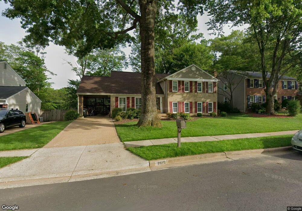
8615 Nanlee Dr Springfield, VA 22152
Estimated Value: $807,000 - $948,000
5
Beds
3
Baths
1,934
Sq Ft
$448/Sq Ft
Est. Value
About This Home
This home is located at 8615 Nanlee Dr, Springfield, VA 22152 and is currently estimated at $867,310, approximately $448 per square foot. 8615 Nanlee Dr is a home located in Fairfax County with nearby schools including Hunt Valley Elementary School, Irving Middle School, and West Springfield High School.
Ownership History
Date
Name
Owned For
Owner Type
Purchase Details
Closed on
Jun 4, 2024
Sold by
Parsons William Wesley Fincher and Parsons Molly M
Bought by
Parsons Family Trust and Parsons
Current Estimated Value
Purchase Details
Closed on
Apr 25, 2019
Sold by
Crook Mark Lyle and Crook Margaret T
Bought by
Parsons William and Parsons Molly
Purchase Details
Closed on
Aug 1, 1995
Sold by
Hancock Carl D
Bought by
Crook Mark L
Home Financials for this Owner
Home Financials are based on the most recent Mortgage that was taken out on this home.
Original Mortgage
$199,100
Interest Rate
7.56%
Create a Home Valuation Report for This Property
The Home Valuation Report is an in-depth analysis detailing your home's value as well as a comparison with similar homes in the area
Home Values in the Area
Average Home Value in this Area
Purchase History
We collect this data history from publicly available records. To have your information removed, we recommend requesting removal directly through your county’s website.
| Date | Buyer | Sale Price | Title Company |
|---|---|---|---|
| Parsons Family Trust | -- | None Listed On Document | |
| Parsons William | $675,000 | Fidelity National Ttl Ins Co | |
| Crook Mark L | $248,900 | -- |
Source: Public Records
Mortgage History
We collect this data history from publicly available records. To have your information removed, we recommend requesting removal directly through your county’s website.
| Date | Status | Borrower | Loan Amount |
|---|---|---|---|
| Previous Owner | Crook Mark L | $199,100 | |
| Closed | Crook Mark L | $24,850 |
Source: Public Records
Tax History
| Year | Tax Paid | Tax Assessment Tax Assessment Total Assessment is a certain percentage of the fair market value that is determined by local assessors to be the total taxable value of land and additions on the property. | Land | Improvement |
|---|---|---|---|---|
| 2025 | $8,659 | $760,750 | $300,000 | $460,750 |
| 2024 | $8,659 | $747,410 | $300,000 | $447,410 |
| 2023 | $8,126 | $720,070 | $275,000 | $445,070 |
| 2022 | $8,061 | $704,970 | $265,000 | $439,970 |
| 2021 | $7,411 | $631,530 | $225,000 | $406,530 |
| 2020 | $7,415 | $626,530 | $220,000 | $406,530 |
| 2019 | $7,249 | $612,510 | $220,000 | $392,510 |
| 2018 | $6,768 | $588,510 | $210,000 | $378,510 |
| 2017 | $6,483 | $558,390 | $195,000 | $363,390 |
| 2016 | $6,469 | $558,390 | $195,000 | $363,390 |
| 2015 | $6,007 | $538,250 | $195,000 | $343,250 |
| 2014 | $5,332 | $478,870 | $187,000 | $291,870 |
Source: Public Records
Map
Nearby Homes
- 8615 Kerry Ln
- 8513 Fairburn Dr
- 7013 Galgate Dr
- 6600 Kensal Ct
- 6604 Grey Fox Dr
- 6410 Wyngate Dr
- 6901 Huntsman Blvd
- 8714 Arley Dr
- 6803 Jackie Deneese Ct
- 8923 Park Forest Dr
- 7212 Galgate Dr
- 8943 Park Forest Dr
- 6526 Greenview Ln
- 8955 Omega Ct
- 7221 Galgate Dr
- 8910 Spur Rd
- 9009 Sweet Birch Ct
- 8723 Cuttermill Place
- 7001 Spur Rd
- 6710 Sydenstricker Rd
Your Personal Tour Guide
Ask me questions while you tour the home.