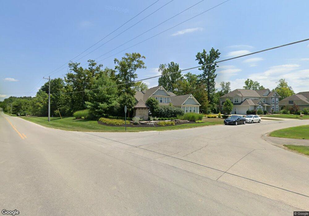
8616 Avalon Ln Unit 1 Plain City, OH 43064
Estimated Value: $982,000 - $1,189,000
4
Beds
3
Baths
3,672
Sq Ft
$293/Sq Ft
Est. Value
About This Home
This home is located at 8616 Avalon Ln Unit 1, Plain City, OH 43064 and is currently estimated at $1,075,819, approximately $292 per square foot. 8616 Avalon Ln Unit 1 is a home located in Union County with nearby schools including Glacier Ridge Elementary School, Willard Grizzell Middle School, and Dublin Jerome High School.
Ownership History
Date
Name
Owned For
Owner Type
Purchase Details
Closed on
Dec 26, 2024
Sold by
Jacobs Derek B and Jacobs Charity M
Bought by
Derek And Charity Jacobs Revocable Trust and Jacobs
Current Estimated Value
Purchase Details
Closed on
Oct 28, 2021
Sold by
Tyson Jamie M and Tyson Daniel
Bought by
Jacobs Derek B and Jacobs Charity M
Home Financials for this Owner
Home Financials are based on the most recent Mortgage that was taken out on this home.
Original Mortgage
$652,000
Interest Rate
3.01%
Mortgage Type
New Conventional
Purchase Details
Closed on
Jan 27, 2018
Sold by
Tyson Jamie M and Tyson Daniel
Bought by
Tyson Jamie M and Tyson Daniel
Home Financials for this Owner
Home Financials are based on the most recent Mortgage that was taken out on this home.
Original Mortgage
$588,000
Interest Rate
4%
Mortgage Type
New Conventional
Create a Home Valuation Report for This Property
The Home Valuation Report is an in-depth analysis detailing your home's value as well as a comparison with similar homes in the area
Home Values in the Area
Average Home Value in this Area
Purchase History
| Date | Buyer | Sale Price | Title Company |
|---|---|---|---|
| Derek And Charity Jacobs Revocable Trust | -- | None Listed On Document | |
| Jacobs Derek B | $835,000 | Sourcepoint | |
| Tyson Jamie M | -- | -- |
Source: Public Records
Mortgage History
| Date | Status | Borrower | Loan Amount |
|---|---|---|---|
| Previous Owner | Jacobs Derek B | $652,000 | |
| Previous Owner | Tyson Jamie M | $588,000 |
Source: Public Records
Tax History Compared to Growth
Tax History
| Year | Tax Paid | Tax Assessment Tax Assessment Total Assessment is a certain percentage of the fair market value that is determined by local assessors to be the total taxable value of land and additions on the property. | Land | Improvement |
|---|---|---|---|---|
| 2024 | $17,686 | $286,480 | $68,180 | $218,300 |
| 2023 | $17,686 | $286,480 | $68,180 | $218,300 |
| 2022 | $17,690 | $286,480 | $68,180 | $218,300 |
| 2021 | $14,653 | $225,110 | $52,450 | $172,660 |
| 2020 | $14,089 | $225,110 | $52,450 | $172,660 |
| 2019 | $15,519 | $225,110 | $52,450 | $172,660 |
| 2018 | $15,185 | $216,620 | $39,360 | $177,260 |
| 2017 | $13,850 | $216,620 | $39,360 | $177,260 |
| 2016 | $14,456 | $216,620 | $39,360 | $177,260 |
| 2015 | $2,188 | $187,830 | $40,250 | $147,580 |
| 2014 | $2,188 | $30,950 | $30,950 | $0 |
| 2013 | $2,229 | $30,950 | $30,950 | $0 |
Source: Public Records
Map
Nearby Homes
- 8478 Cottontail Creek
- 8766 Glacier Pointe Dr
- Northwestern Plan at The Ridge at Glacier Pointe
- Lehigh Plan at The Ridge at Glacier Pointe
- Vanderbilt Plan at The Ridge at Glacier Pointe
- Dartmouth Plan at The Ridge at Glacier Pointe
- Citadel Plan at The Ridge at Glacier Pointe
- 8772 Glacier Pointe Dr
- Fordham II Plan at The Ridge at Glacier Pointe
- Hillsdale Plan at The Ridge at Glacier Pointe
- Emory Plan at The Ridge at Glacier Pointe
- Temple Plan at The Ridge at Glacier Pointe
- Wesleyan Plan at The Ridge at Glacier Pointe
- Bucknell Plan at The Ridge at Glacier Pointe
- 8828 Eliot Dr
- 8838 Eliot Dr
- 8837 Eliot Dr
- 8994 Coe Dr
- 9000 Coe Dr
- 9019 Coe Dr
- 8616 Avalon Ln
- 8531 McKitrick Rd
- 8600 Avalon Ln Unit 2
- 8603 Avalon Ln
- 8590 Avalon Ln
- 8590 Avalon Ln
- 8457 Cottontail Creek
- 8447 Cottontail Creek
- 8690 Mallard Cir
- 8585 Avalon Ln
- 8585 Avalon Ln
- 8640 Mallard Cir
- 8565 Avalon Ln Unit 33
- 8500 McKitrick Rd
- 8449 McKitrick Rd
- 8610 Mallard Cir Unit 7
- 8695 Mallard Cir
- 8660 McKitrick Rd
- 8675 Mallard Cir
- 8675 Mallard Cir Unit Lot 53