8617 Hugh St Westland, MI 48185
Estimated Value: $184,000 - $208,598
3
Beds
1
Bath
1,005
Sq Ft
$198/Sq Ft
Est. Value
About This Home
This home is located at 8617 Hugh St, Westland, MI 48185 and is currently estimated at $198,650, approximately $197 per square foot. 8617 Hugh St is a home located in Wayne County with nearby schools including Cleveland Elementary School, Emerson Middle School, and Cooper Upper Elementary School.
Ownership History
Date
Name
Owned For
Owner Type
Purchase Details
Closed on
Jun 25, 2009
Sold by
Citimortgage Inc
Bought by
Federal National Mortgage Association
Current Estimated Value
Purchase Details
Closed on
Apr 28, 2006
Sold by
Kennedy Rick and Kennedy Wanda M
Bought by
Moreland Robert Bennett
Purchase Details
Closed on
Jun 9, 2005
Sold by
Huetteman Arthur R and Hueteman Susan M
Bought by
Household Finance Corp Iii
Create a Home Valuation Report for This Property
The Home Valuation Report is an in-depth analysis detailing your home's value as well as a comparison with similar homes in the area
Home Values in the Area
Average Home Value in this Area
Purchase History
| Date | Buyer | Sale Price | Title Company |
|---|---|---|---|
| Federal National Mortgage Association | -- | None Available | |
| Citimortgage Inc | $102,518 | None Available | |
| Moreland Robert Bennett | $126,000 | Title Source Inc | |
| Household Finance Corp Iii | $121,440 | -- |
Source: Public Records
Tax History Compared to Growth
Tax History
| Year | Tax Paid | Tax Assessment Tax Assessment Total Assessment is a certain percentage of the fair market value that is determined by local assessors to be the total taxable value of land and additions on the property. | Land | Improvement |
|---|---|---|---|---|
| 2025 | $2,484 | $92,500 | $0 | $0 |
| 2024 | $2,484 | $85,000 | $0 | $0 |
| 2023 | $2,378 | $80,900 | $0 | $0 |
| 2022 | $3,275 | $73,800 | $0 | $0 |
| 2021 | $3,448 | $67,200 | $0 | $0 |
| 2020 | $2,939 | $64,400 | $0 | $0 |
| 2019 | $3,057 | $58,200 | $0 | $0 |
| 2018 | $1,949 | $49,500 | $0 | $0 |
| 2017 | $1,874 | $48,800 | $0 | $0 |
| 2016 | $3,004 | $49,400 | $0 | $0 |
| 2015 | $3,615 | $38,370 | $0 | $0 |
| 2013 | $3,764 | $39,400 | $0 | $0 |
| 2012 | $2,107 | $39,210 | $0 | $0 |
Source: Public Records
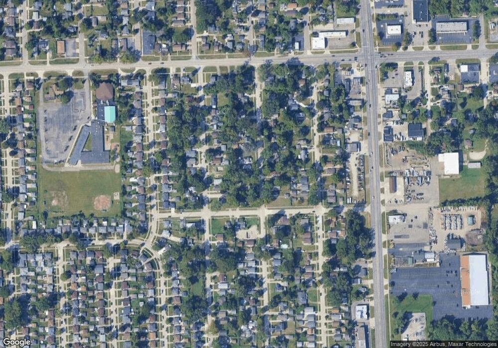
Map
Nearby Homes
- 8618 Beatrice
- 8483 Beatrice
- 8411 Hugh St
- 8309 Hugh St
- 8938 Hugh St
- 8177 Gary Ave
- 8037 Beatrice
- 8157 Gary Ave
- 8148 Randy Dr
- 29000 Joy Rd
- 9081 Louise St
- 29156 Manchester St
- 8139 Bristol St Unit 170
- 29248 Manchester St
- 29047 Manchester St Unit 83
- 28926 Ann Arbor Trail
- 9066 Newport Way Unit 11
- 0000 N Middlebelt Rd
- 8346 Hillcrest Blvd
- 30055 Grandon St